Peoples
- MAYA
- CLASSIC MAYA
Citation
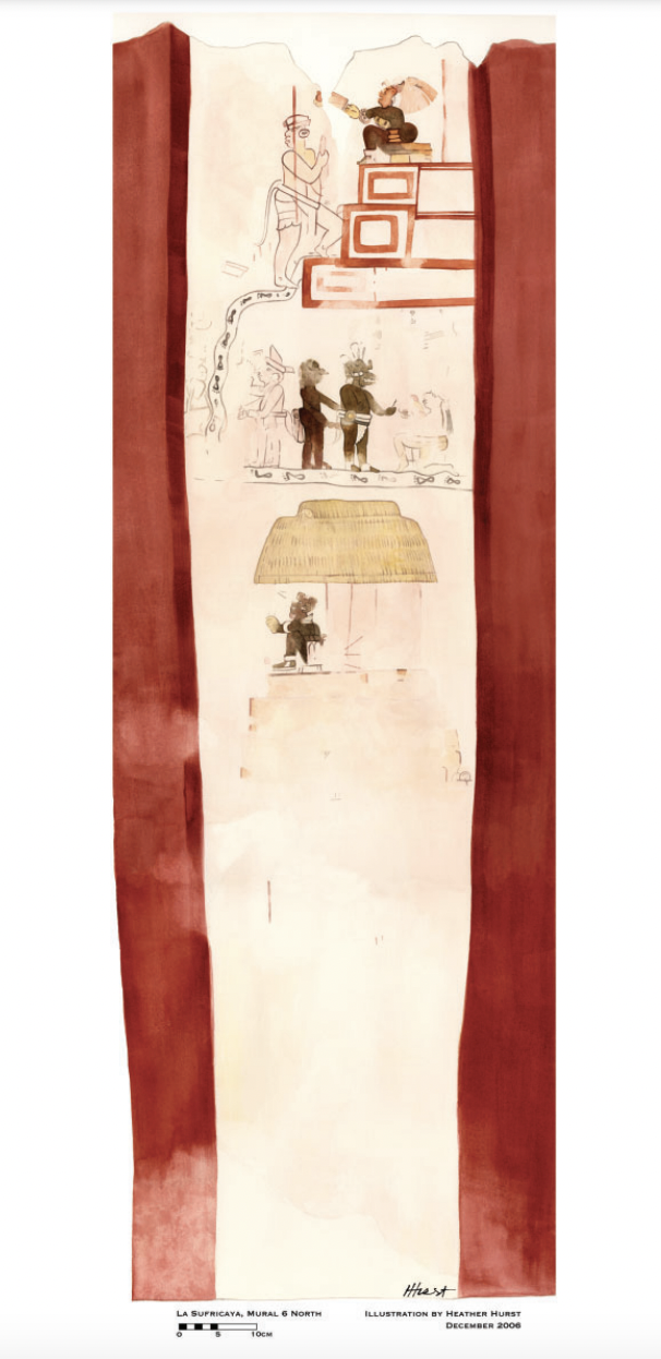
Reproduction of a 4th century mural painted on the wall of a royal residence at La Sufricaya in the Peten region of Guatemala. Mural 6 North. Illustration by Heather Hurst 2006. IN Sarah Kurnick and David Rogoff, "Maya cartographies: two maps of Punta Laguna, Yucatan Mexico." Journal of Social Archaeology 20(2) 2020: 127. https://journals.sagepub.com/doi/pdf/10.1177/1469605320914105