Peoples
- MAYA
- CLASSIC MAYA
Citation
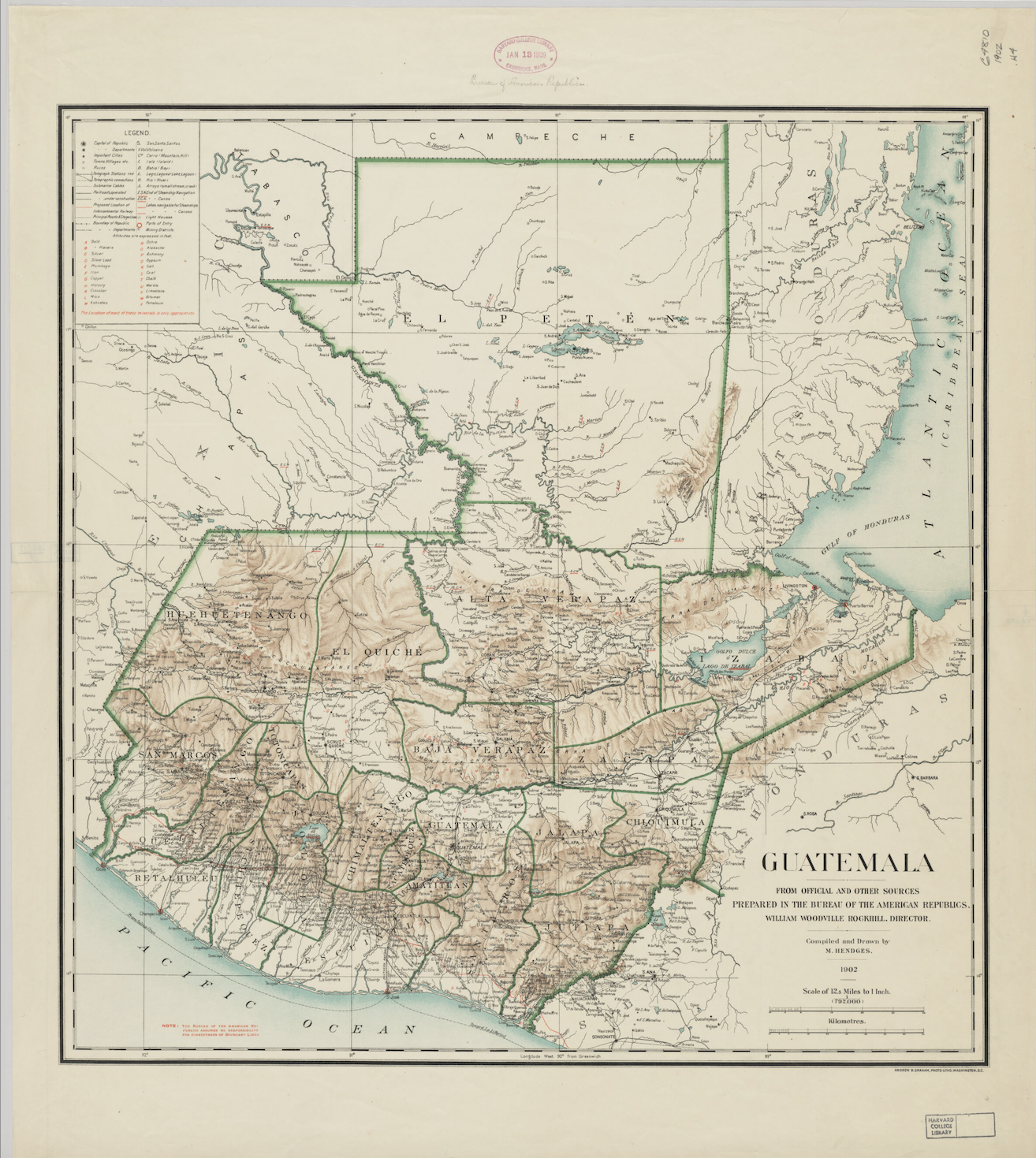
Hendges, M. "Guatemala: From Official and Other Sources" Prepared in the Bureau of the American Republic. William Woodville Rockhill, Director. 1902. Harvard Map Collection, G4810_1902_H4_6459955052. Accessed February 15 2024. https://iiif.lib.harvard.edu/manifests/view/ext:aHR0cHM6Ly9paWlmLmxpYi5oYXJ2YXJkLmVkdS9tYW5pZmVzdHMvaWRzOjEwNzczOTg0$1i