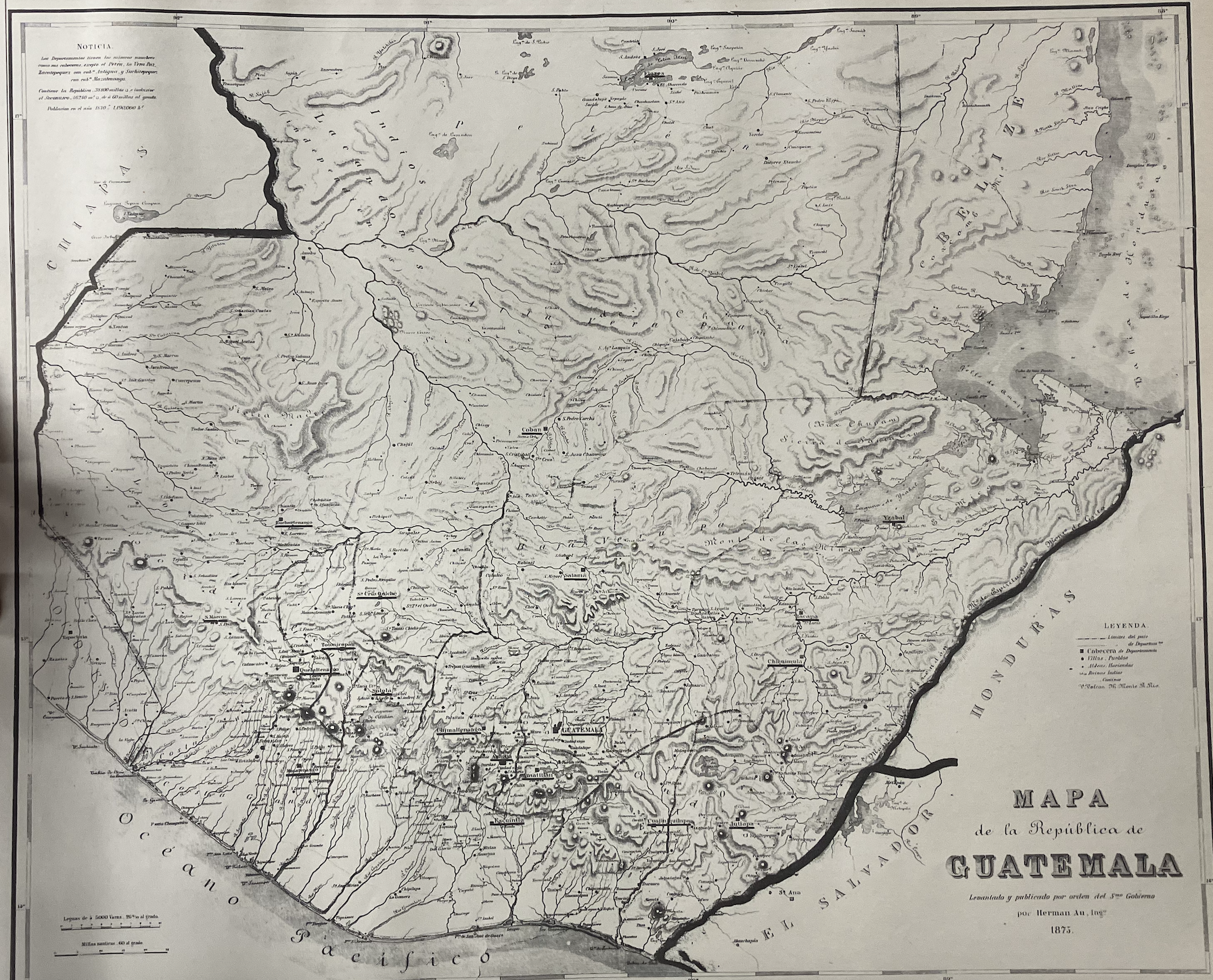
Citation
"Mapa de la República de Guatemala" Herman Au, 1875. From the Map Library, University of Pennsylvania
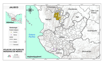
JALISCO
Map 2015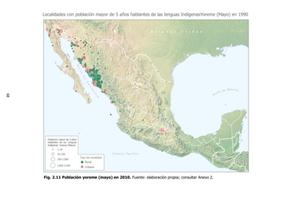
Población yoreme (mayo) en 2010
Map 2010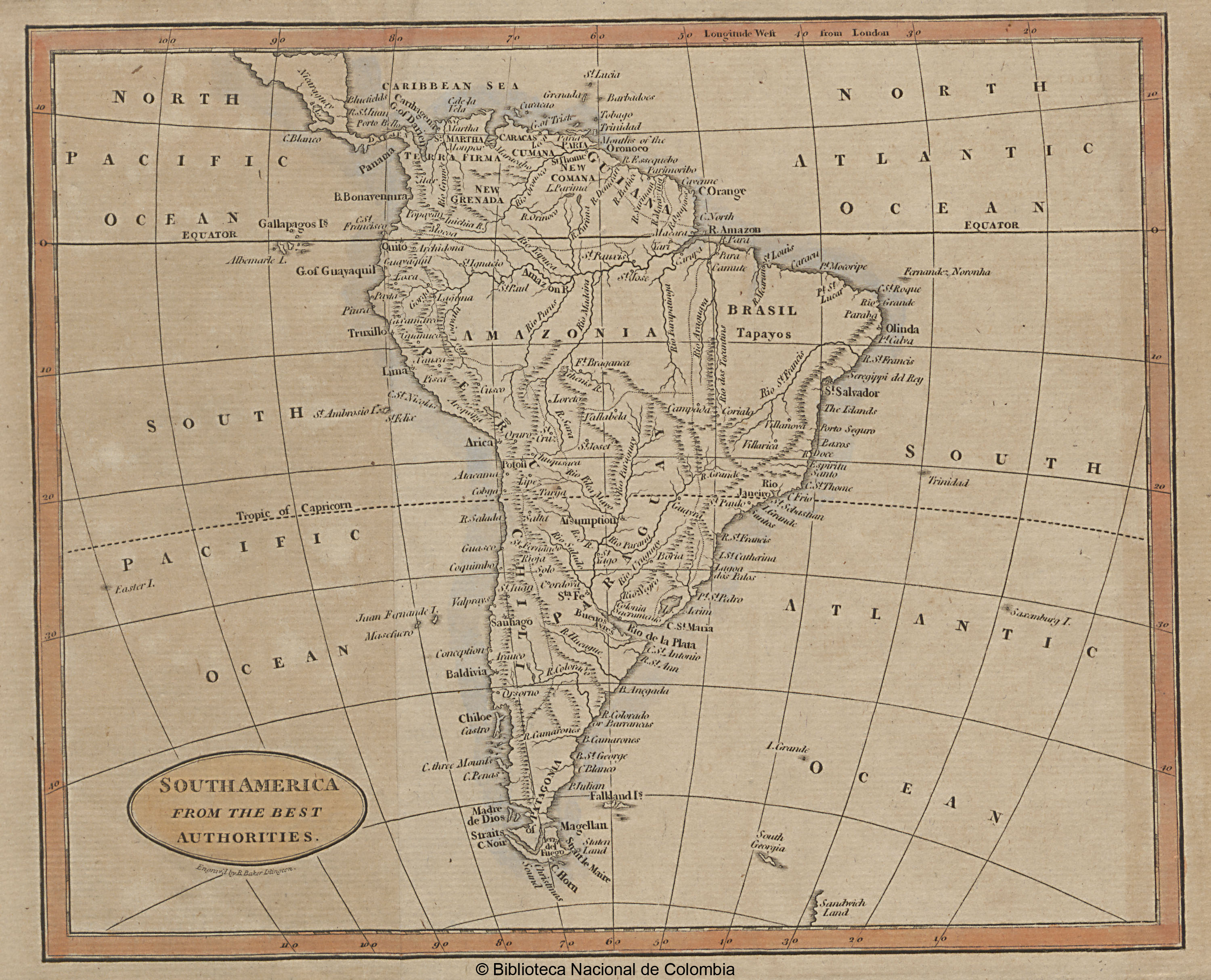
SOUTH AMERICA FROM THE BEST AUTHORITIES
Map 1802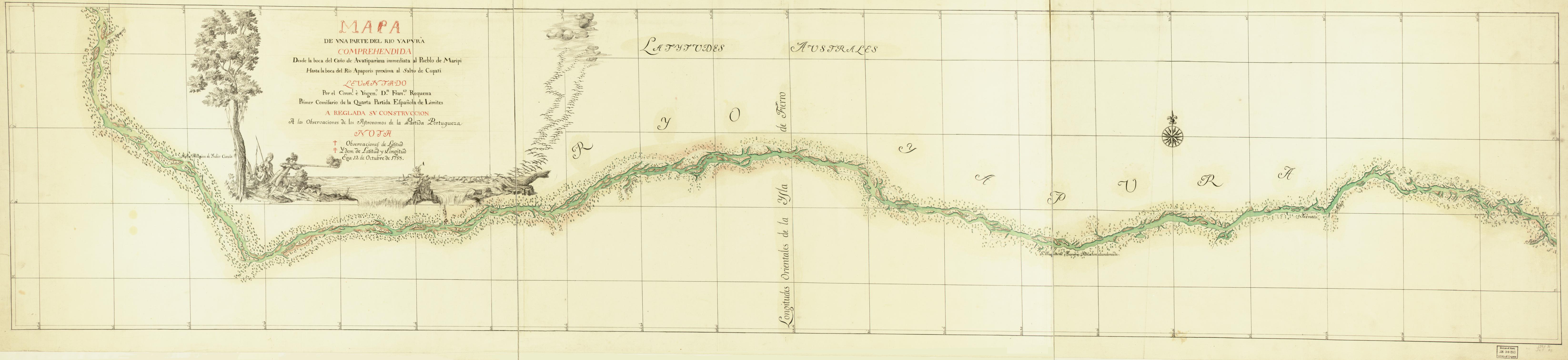
Mapa de una parte del Rio Yapurá : comprehendida desde la boca del Caño de Avatiparána immediata al pueblo de Maripi hasta la boca del Rio Apaporis proxima al Salto de Cupati
Map 1788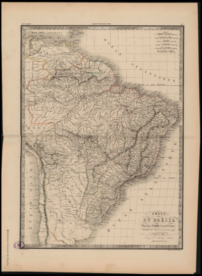
CARTE DU BRÉSIL
Map 1851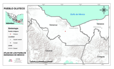
PUEBLO OLUTECO
Map 2020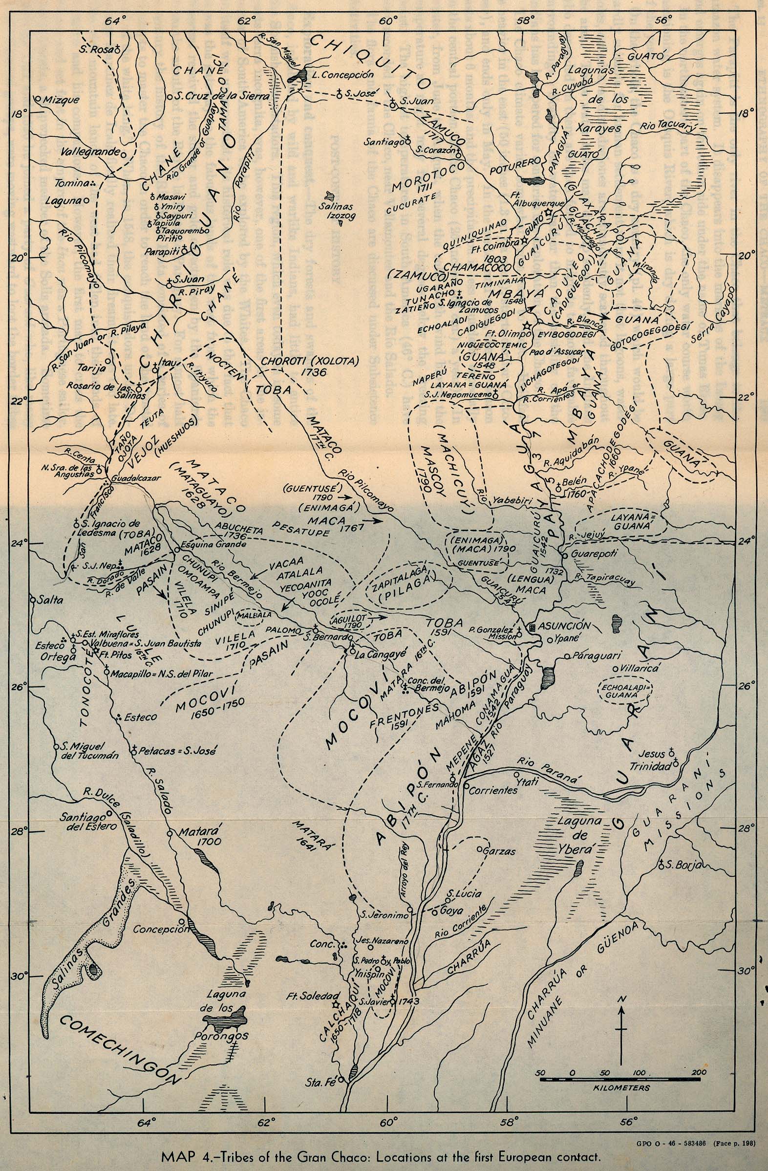
Tribes of the Gran Chaco: Locations at the first European contact
Map 1524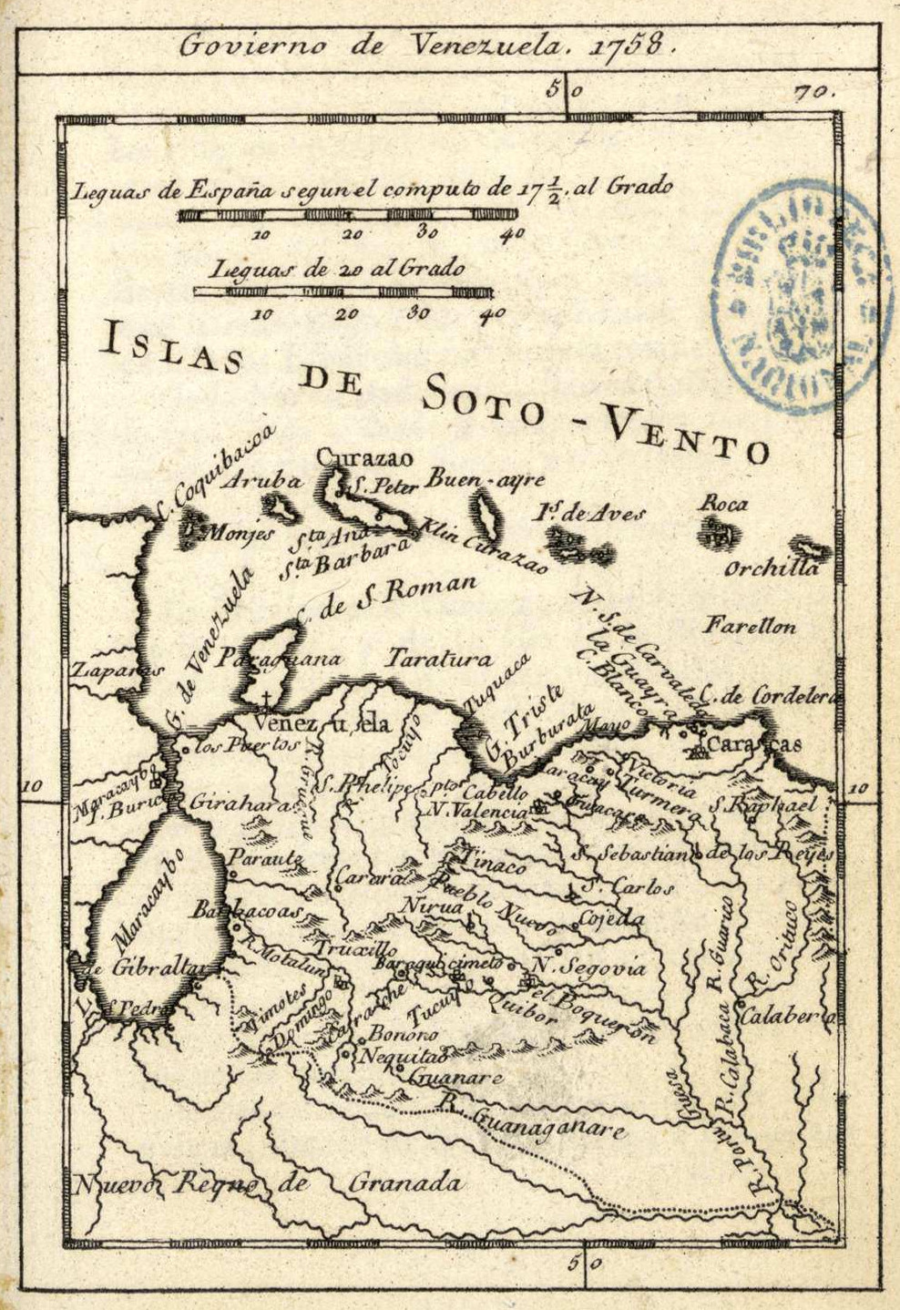
Govierno de Venezuela;1758.
Map 1758