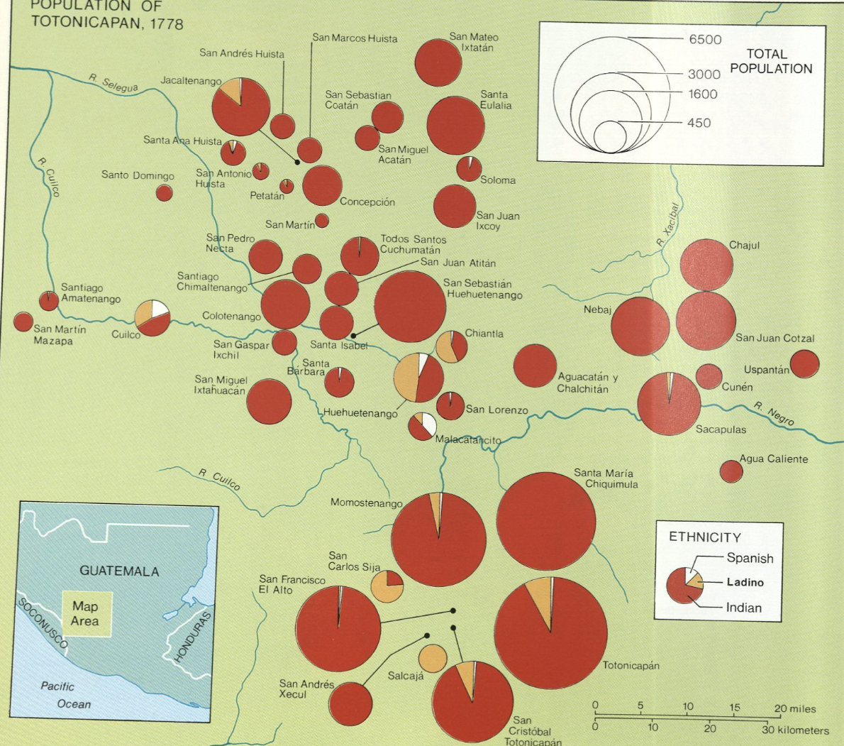
Citation
"Population of Tontonicapan 1778" IN Historical Atlas of Central America by Carolyn Hall and Héctor Pérez Brignoli. PG. 89. University of Oklhoma Press, 2005.
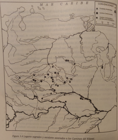
Lugares sagrados y seculares asociados a los caminos del Kuwai
Map 1399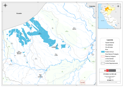
PUEBLO ACHUAR
Map 2021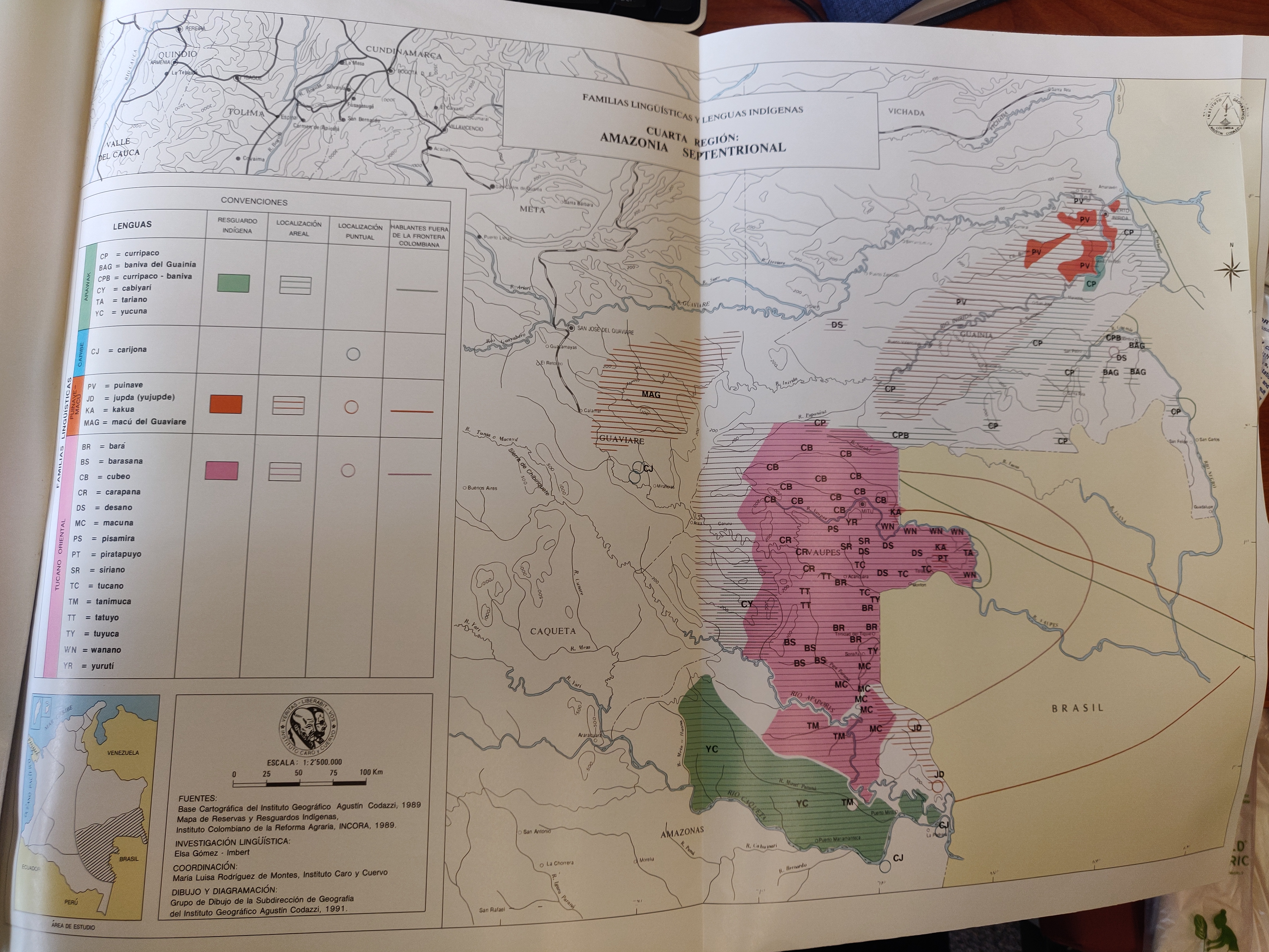
FAMILIAS LINGUÍSTICAS Y LENGUAS INDÍGENAS. CUARTA REGIÓN: AMAZONIA SEPTENTRIONAL
Map 1989
CASIQUIARE;RIO ATABAPO;ET COURS INFERIEUR DE I’YNIRIDA
Map 1872 - 1876
South America and West Indies. 1818
Map 1818
Resguardo de los indios de Guateque. Plano en trazo simple de la cuchilla que pretenden los indios. Corresponde al expediente seguido por los indios con Francisco Javier del Castillo, por deslinde de tierras
Map 1801
A chart of the English trading part of the bay of Honduras
Map 1791
The modern departments of Ahuachapán, La Libertad, Santa Ana, and Sonsonate (highlighted in red) now contain the highest concentration of Indigenous communities in El Salvador.
Map 2010