Citation
"Spanish Language Distribution in Late Colonial Period" IN Historical Atlas of Central America by Carolyn Hall and Héctor Pérez Brignoli. PG. 91. University of Oklhoma Press, 2005.
BORRADOR TOPOGRÁFICO DE LA LÍNEA DIVISORIA, QUE CITA EL ARTÍCULO 12º DEL TRATADO PRELIMINAR, Y AJUSTADAS DISTANCIAS HASTA SU PUNTO FINAL
Map 1800 - 1850
PUEBLO CHONTAL DE TABASCO
Map 2020
Carte de la Calidonie et de la baye des Ecossois
Map 1750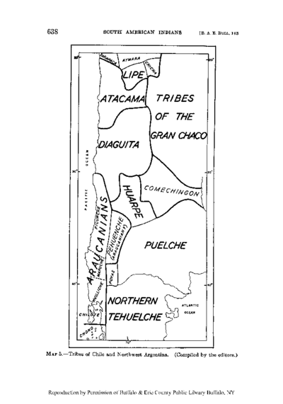
Tribes of Chile and Northwest Argentina
Map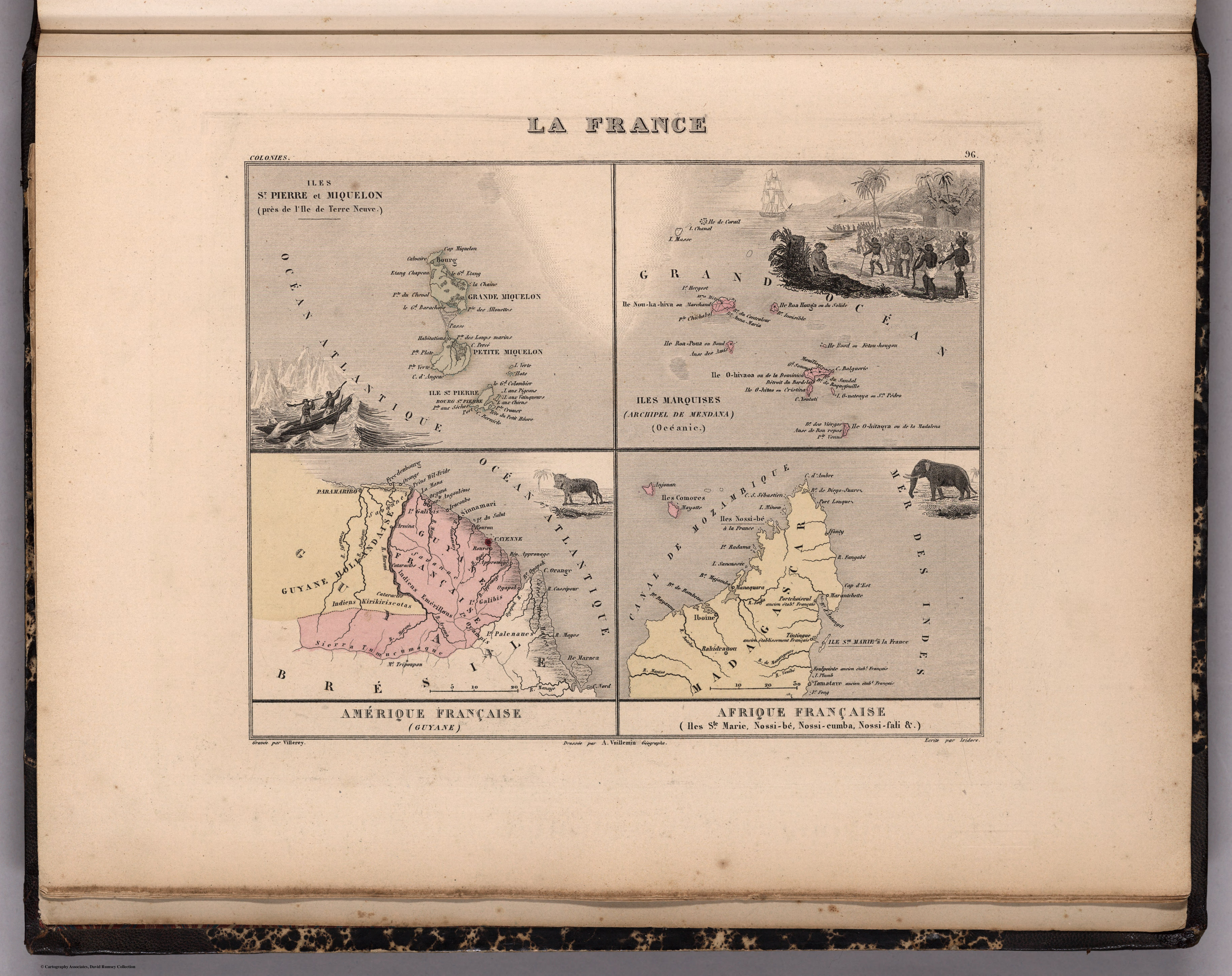
La France. Amérique Française (Guyane). Afrique Française (Illes S.te Marie, Nossi-bé, Nossi-cumba, Nossi-fali &.).
Map 1869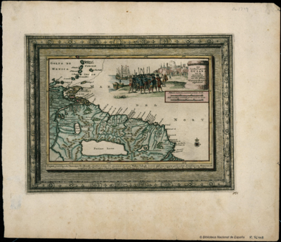
Het Goudryk gewest Guiana tot de Drywerfze Scheepstogten.
Map 1700 - 1799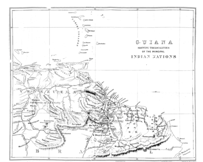
Guiana Shewing the Localities of the Principal Indian Nations
Map 1800 - 1899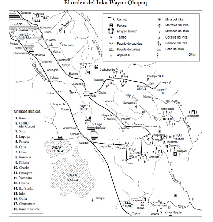
SPATIAL ORGANIZATION OF THE QULLASUYU UNDER INCA RULE
Map 1500 - 1530