Citation
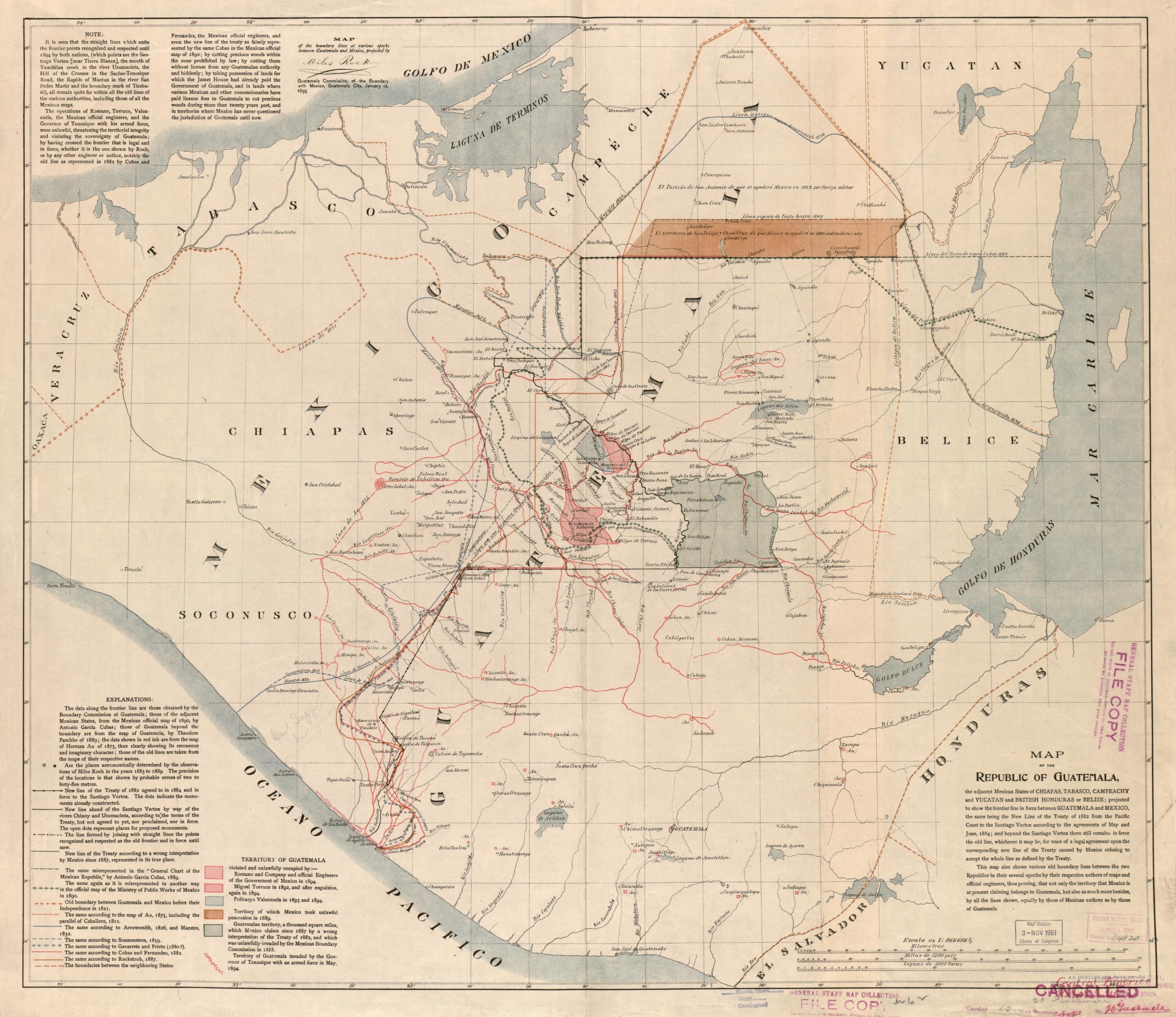
Map of the Republic of Guatemala. Mueller, A.H. Philadelphia, 1895. Library of Congress Geography and Map Division Washington, DC. G4811.F2 1895 .M8 . http://hdl.loc.gov/loc.gmd/g4811f.ct002031
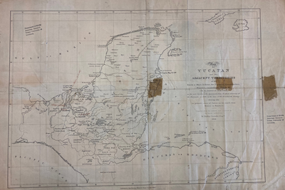
MAP OF YUCATAN AND THE ADJACENT TERRITORIES OF THE ITZAEX OR MAYA INDIANS, THE TIPUANS, QUECHEACHES, MOPANES, LACANDONES, CHOLES, & WITH THE DISTRICT OF VERA PAZ
Map 1854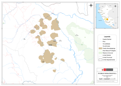
PUEBLO NOMATSIGENGA
Map 2021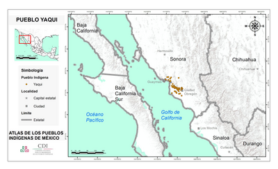
PUEBLO YAQUI
Map 2020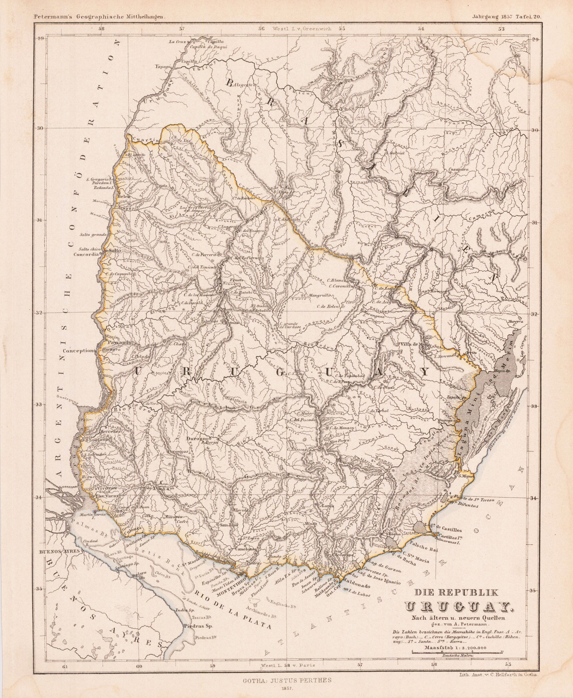
DIE REPUBLIK URUGUAY
Map 1857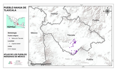
PUEBLO NAHUA DE TLAXCALA
Map 2020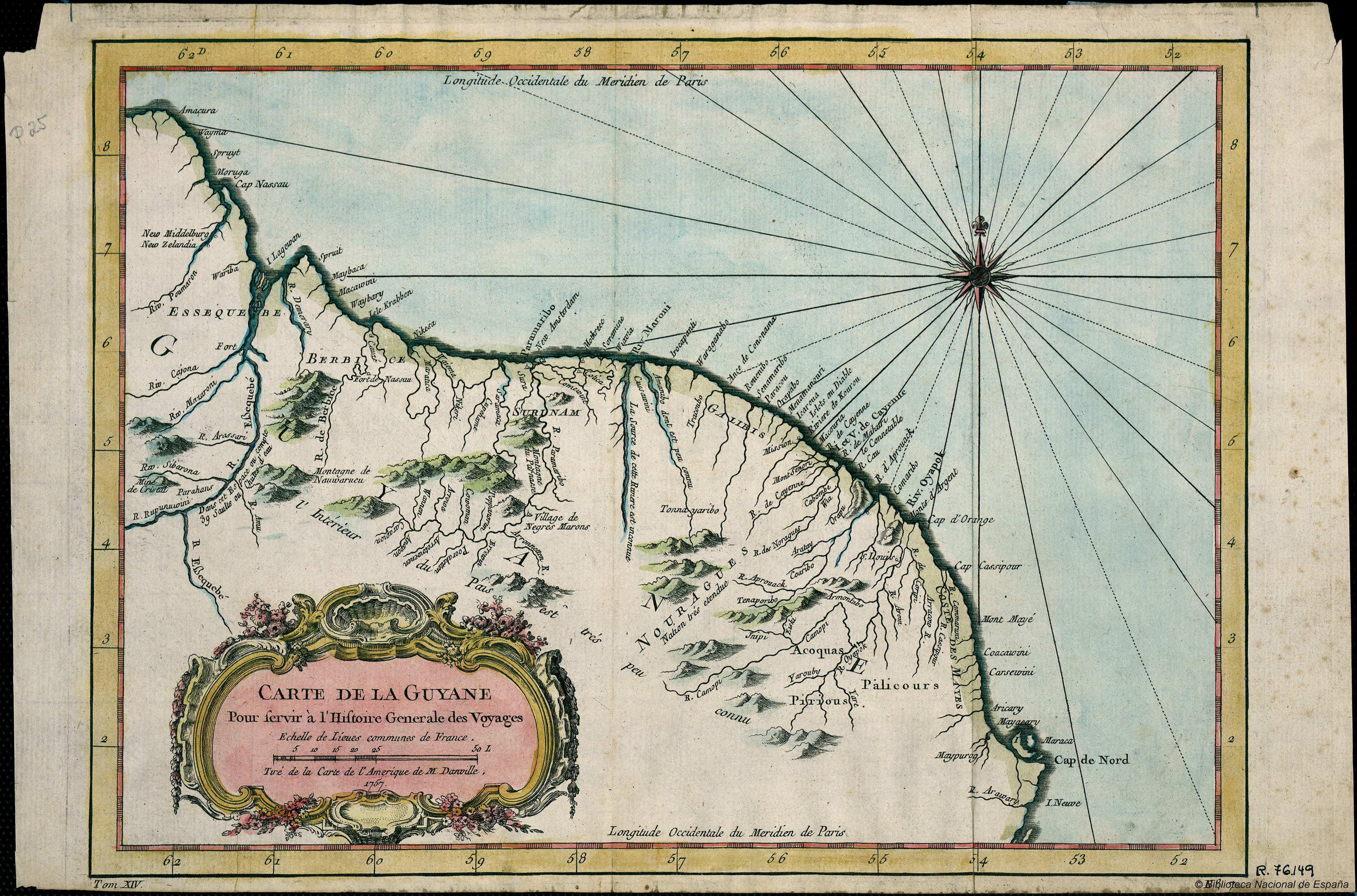
Carte de la Guyana pour servir à l'Histoire Generale des Voyages.
Map 1757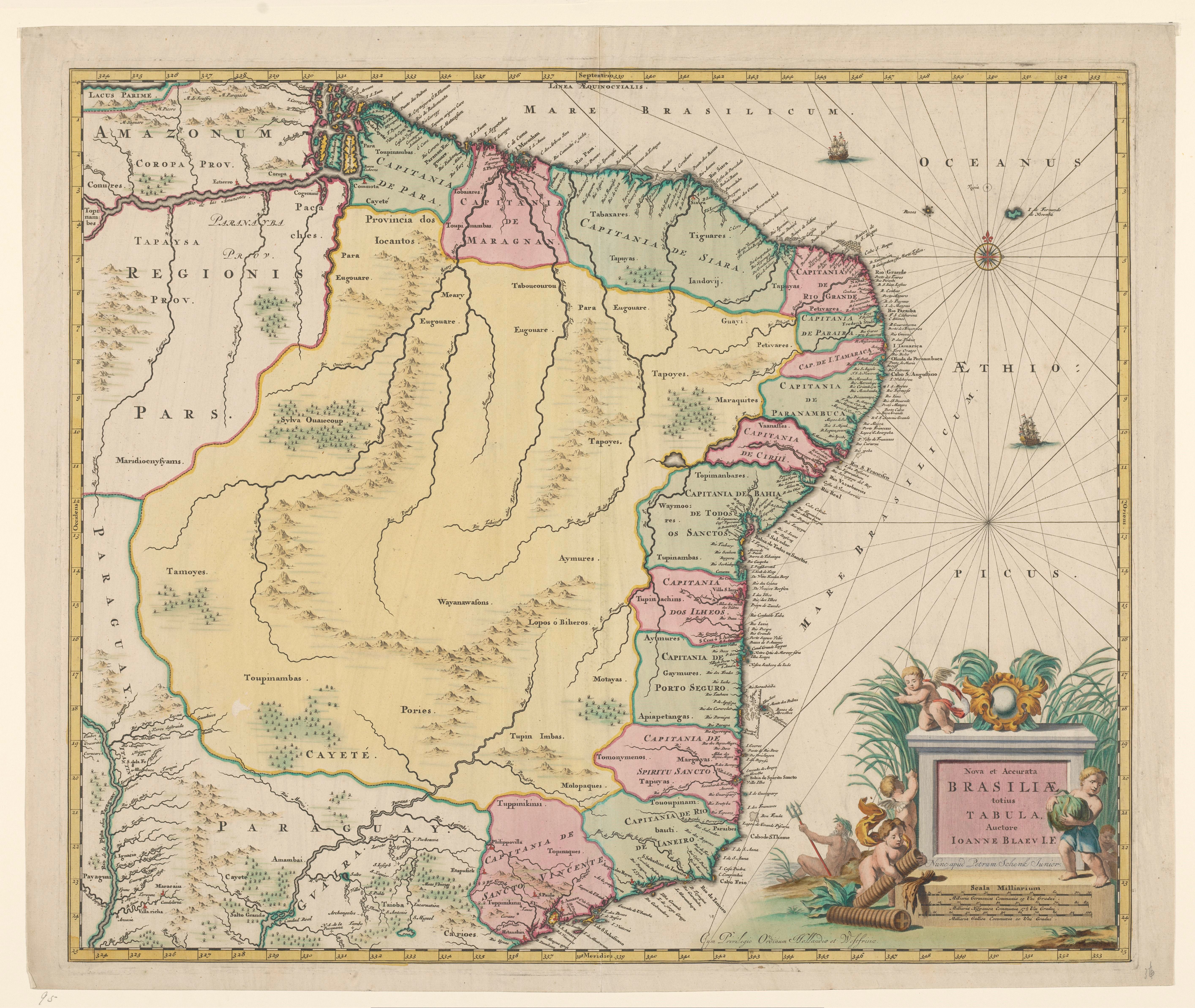
Nova et Accurate BRASILIAE totius TABULA
Map 1700 - 1745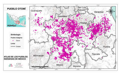
PUEBLO OTOMI
Map 2020