Peoples
- MAYA
- LACANDON
Citation
Mapa general de la republica de Guatemala, publicado por Maximilian v Sonnenstern. por Orden del Gobierno. 1859. https://gallica.bnf.fr/ark:/12148/btv1b53020935q/f1.item.zoom#
Le Paraguay
Map 1600 - 1700![El lugar de los espíritus [The Place of the Spirits]](https://dnet8ble6lm7w.cloudfront.net/art_sm/APER084-0.png)
El lugar de los espíritus [The Place of the Spirits]
Artwork
Mapa general de la Republica de Honduras
Map 1900 - 1999
REGIÓN SELVA LACANDONA
Map 2000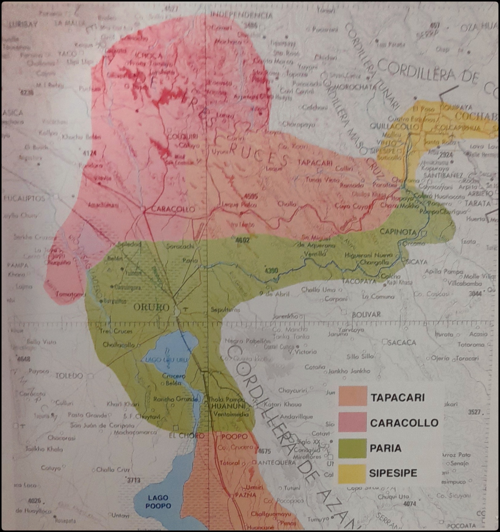
EL SEÑORÍO AYMARA DE LOS SURAS EN EL SIGLO XVI
Map 1500 - 1699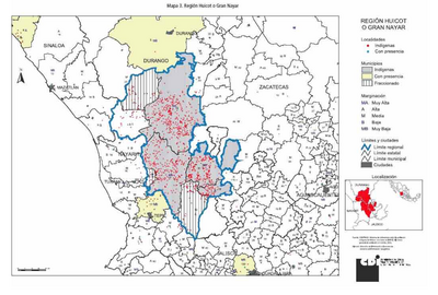
REGIÓN HUICOT O GRAN NAYAR
Map 2000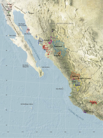
Territorios actuales de los pueblos indígenas en México
Map 2008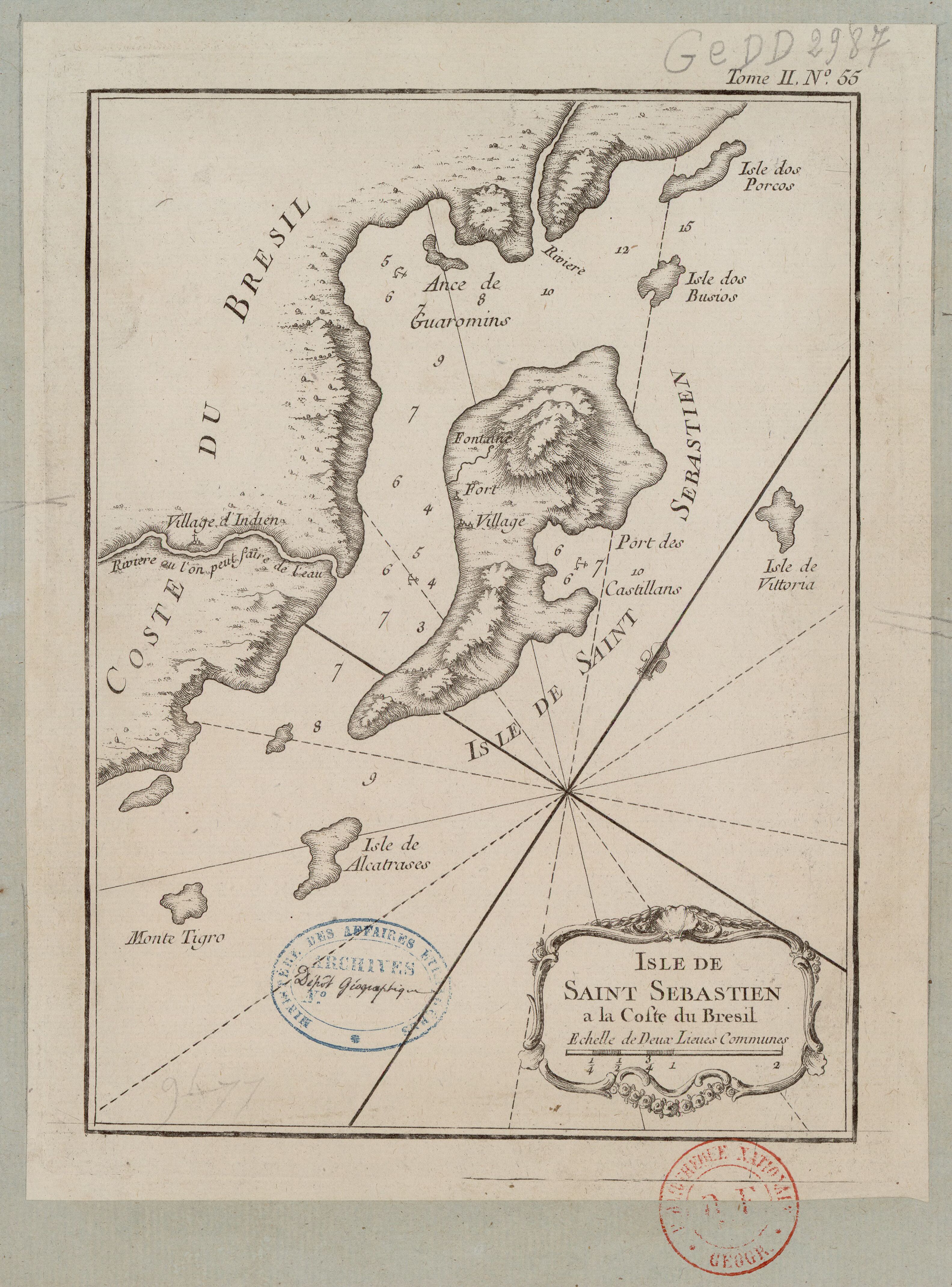
ISLE DE SAINT SÉBASTIEN a la Coste du Brésil
Map 1764