Peoples
- WAYAPI
Citation
Grenand, Pierre. Ainsi parlaient nos ancêtres : essai d'ethnohistoire « waŷapi ». Paris: ORSTOM, 1982.
PIANO APPROSSIMATIVO DELL’ ALTO PARANA` da Tucurù-pucù alla gran cascata del Guaira
Map 1884
PUEBLO YAMINAHUA
Map 2021
Carte du Gouvernement de Cayenne dans l'Amérique Méridionale
Map 1763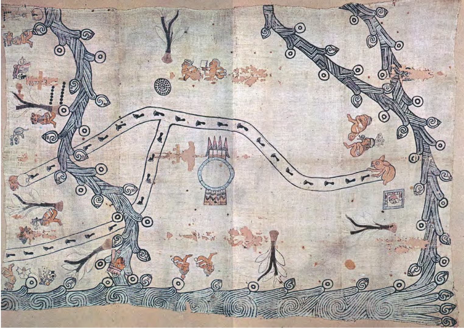
MAPA LOCAL DE TOCHPAN
Map 1400 - 1499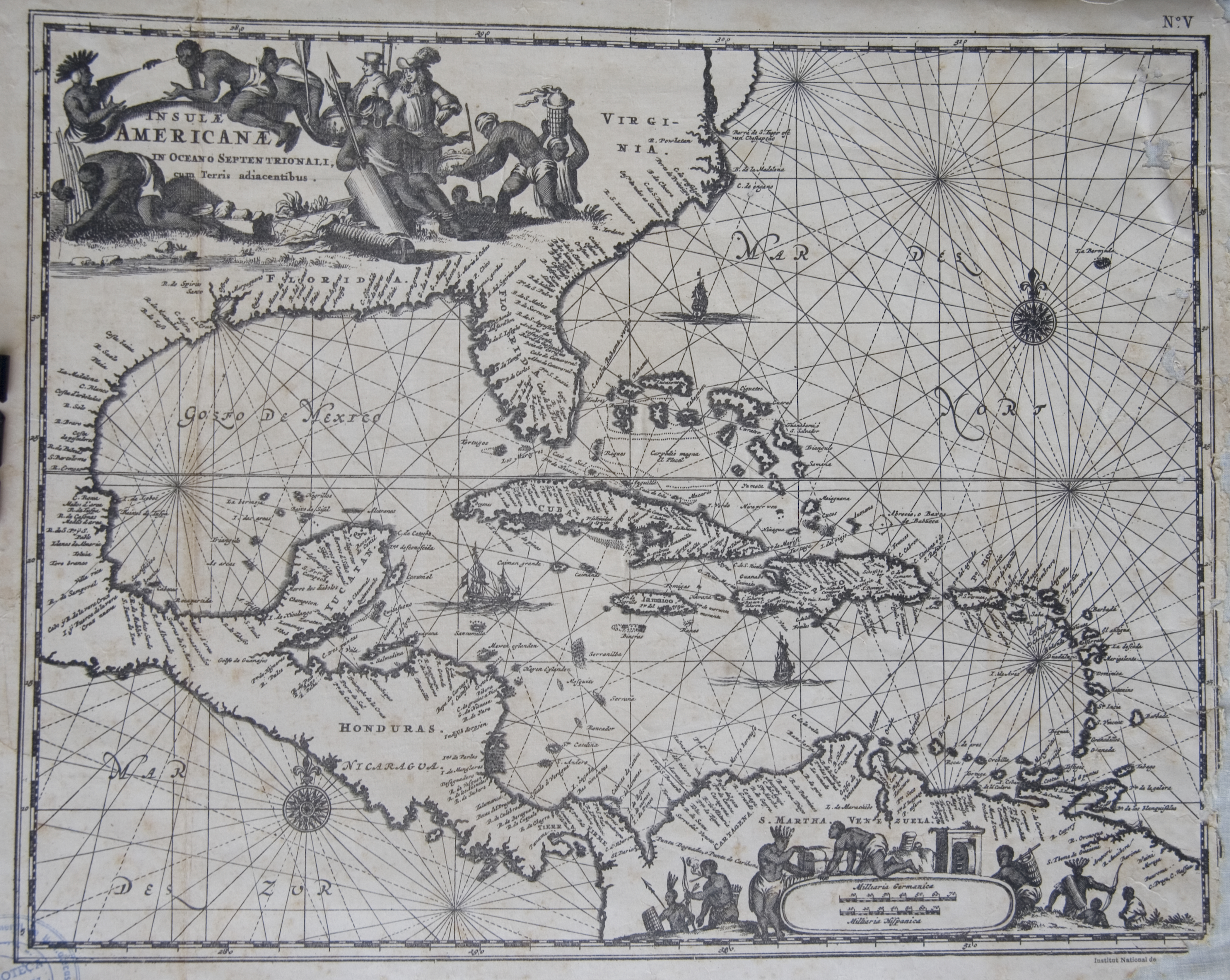
Islas Antillas y costas de tierra firme.
Map 1500 - 1599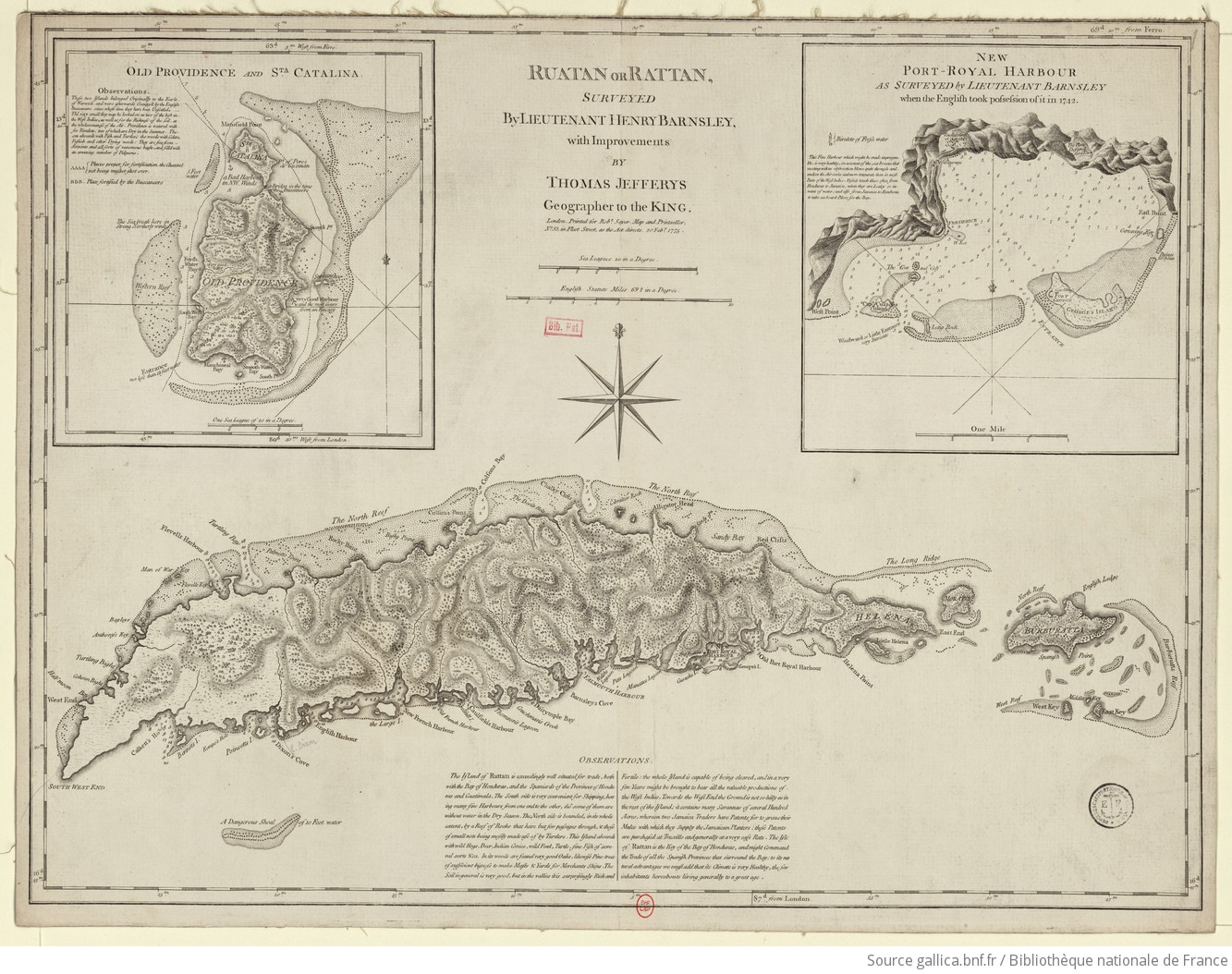
Ruatan or Rattan
Map 1775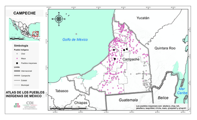
CAMPECHE
Map 2015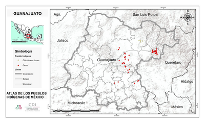
GUANAJUATO
Map 2015