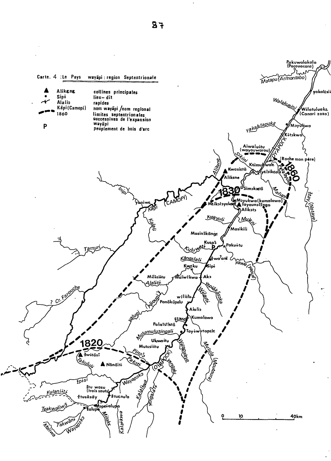
Peoples
- WAYAPI
Citation
Grenand, Pierre. Ainsi parlaient nos ancêtres : essai d'ethnohistoire « waŷapi ». Paris: ORSTOM, 1982.
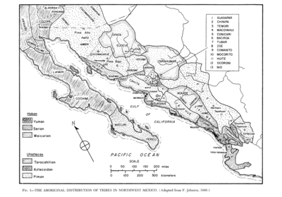
The Aboriginal Distribution of Tribes in Northwest Mexico
Map 1969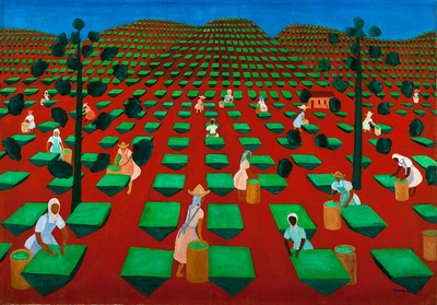
Tea Farm in Itacolomi
Artwork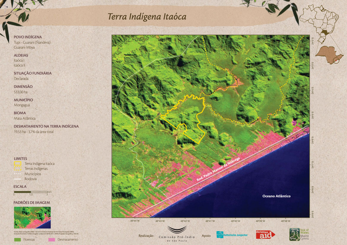
Terra Indígena Itaóca
Map 2011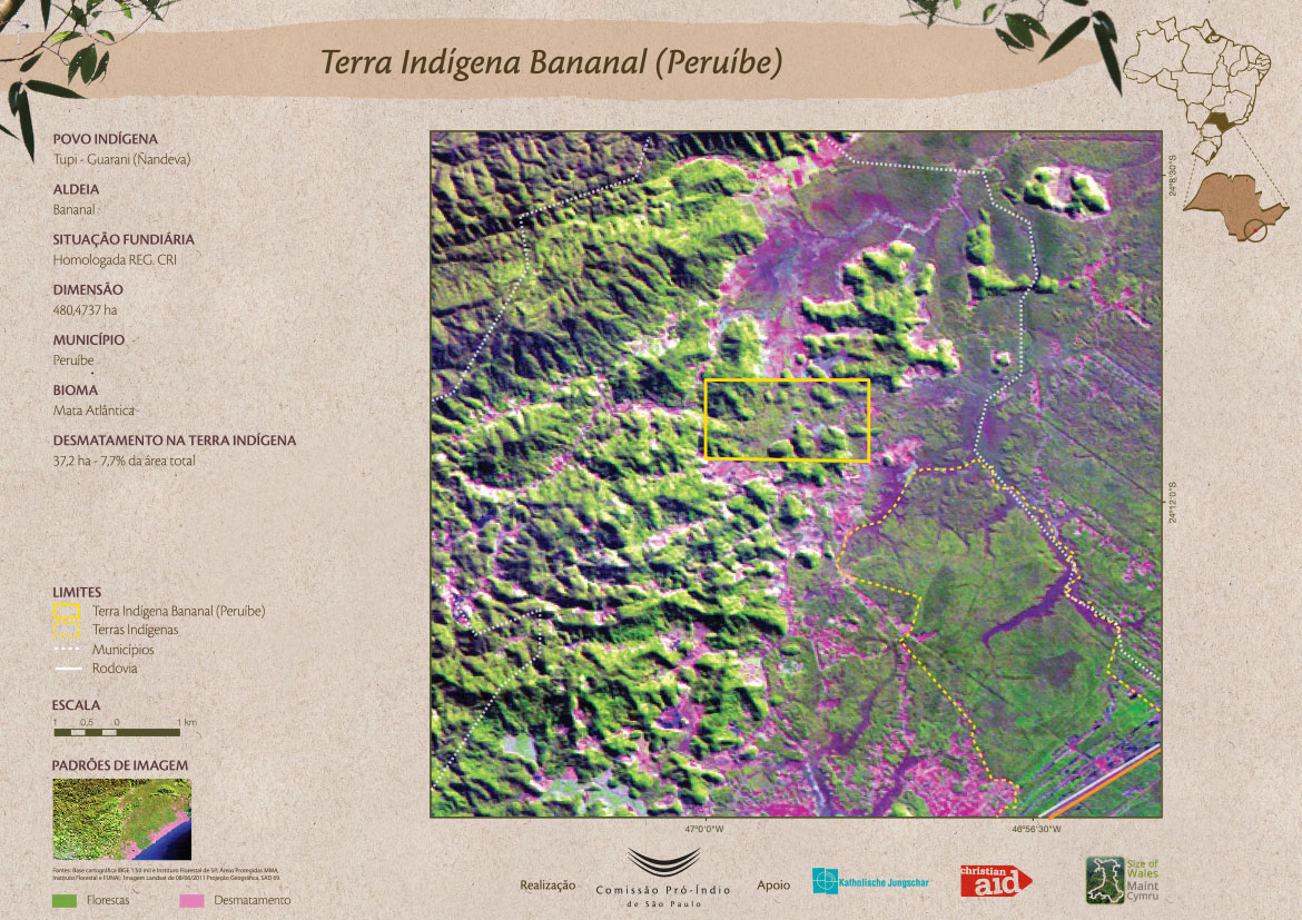
Terra Indígena Bananal (Peruíbe)
Map 2011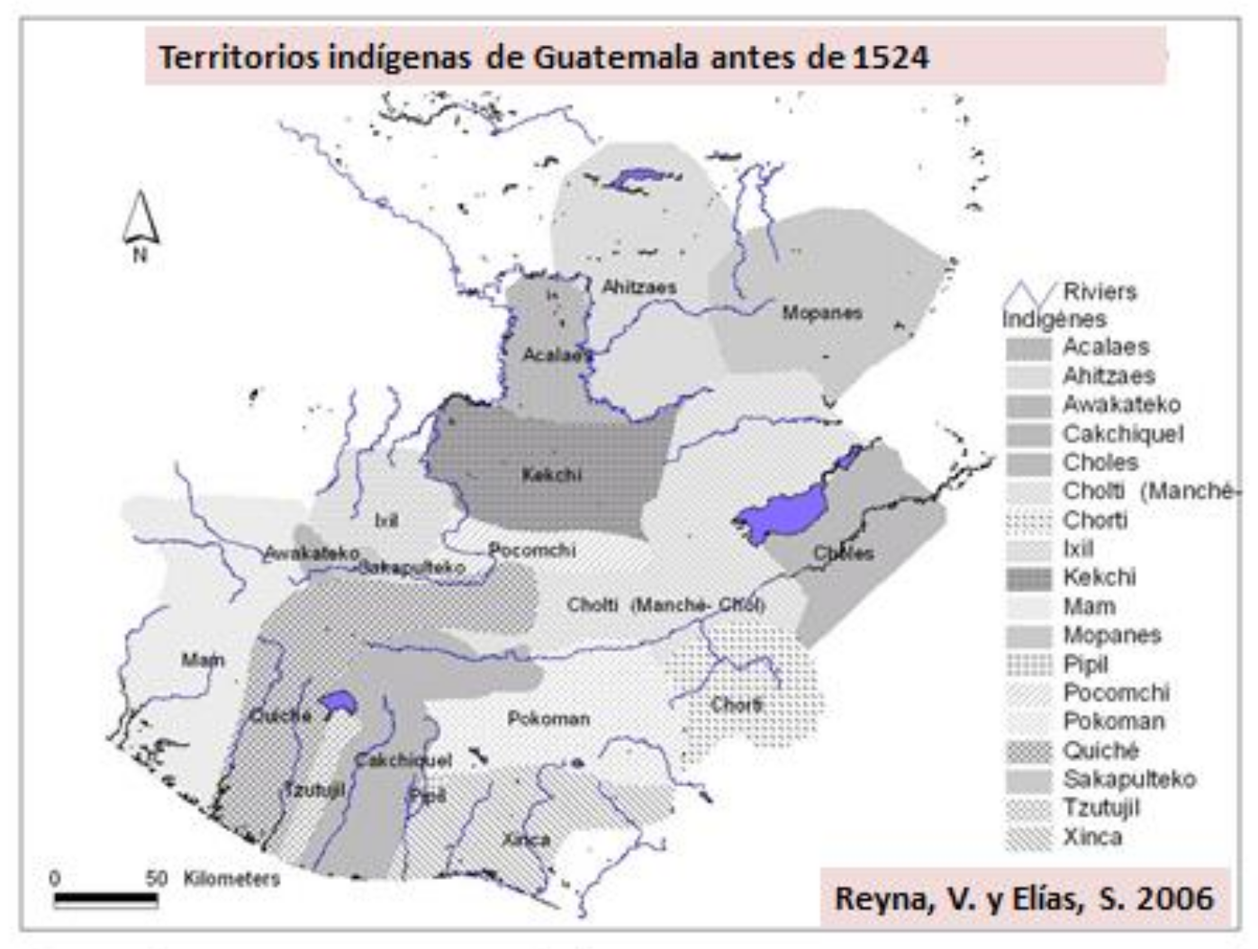
Territorios indígenas de Guatemala antes de 1524
Map 1523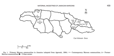
Primary Maroon communities in Jamaica
Map 2015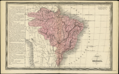
Empire du BRÉSIL
Map 1835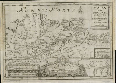
Mapa de la Provincia y Missiones de la CompañÍa de IHS del Nuevo Reyno de Granada
Map 1741