Peoples
- BONIS
- GALIBIS
- OYAMPIS
- PALIKOURS
- ROUCOUYENNES
- YOUCAS
Citation
Louis, Papy. "La Guyane française. Premier article." Cahiers d'outre-mer, 31 (1955): 209-232 https://doi.org/10.3406/caoum.1955.1967
PART OF A MAP OF SOUTH AMERICA BY JOHN ARROWSMITH;1840;BEING A REVISED EDITION OF A MAP FIRST PUBLISHED BY AARON ARROWSMITH
Map 1840
Colombia Prima or South America drawn from the large map in eight sheets by Louis Stanislas D'Arcy Delarochette
Map 1811
COLIMA
Map 2015
PARTIE DE LA COLOMBIE
Map 1827
INTENDENCIA DE NAYARIT-COYOTLÁN
Map 1800
Carta de la Costa de Mosquitos;con sus islas;cayos;bancos y bajos adyacentes entre dicha y la Isla de Jamayca
Map 1767 - 1781
Côtes de la Guyane brésilienne de l'Oyapoc à Para
Map 1600 - 1750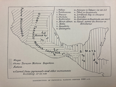
DISTRIBUTION OF PRINCIPAL NATIONS BEFORE 1000 AD
Map 1000