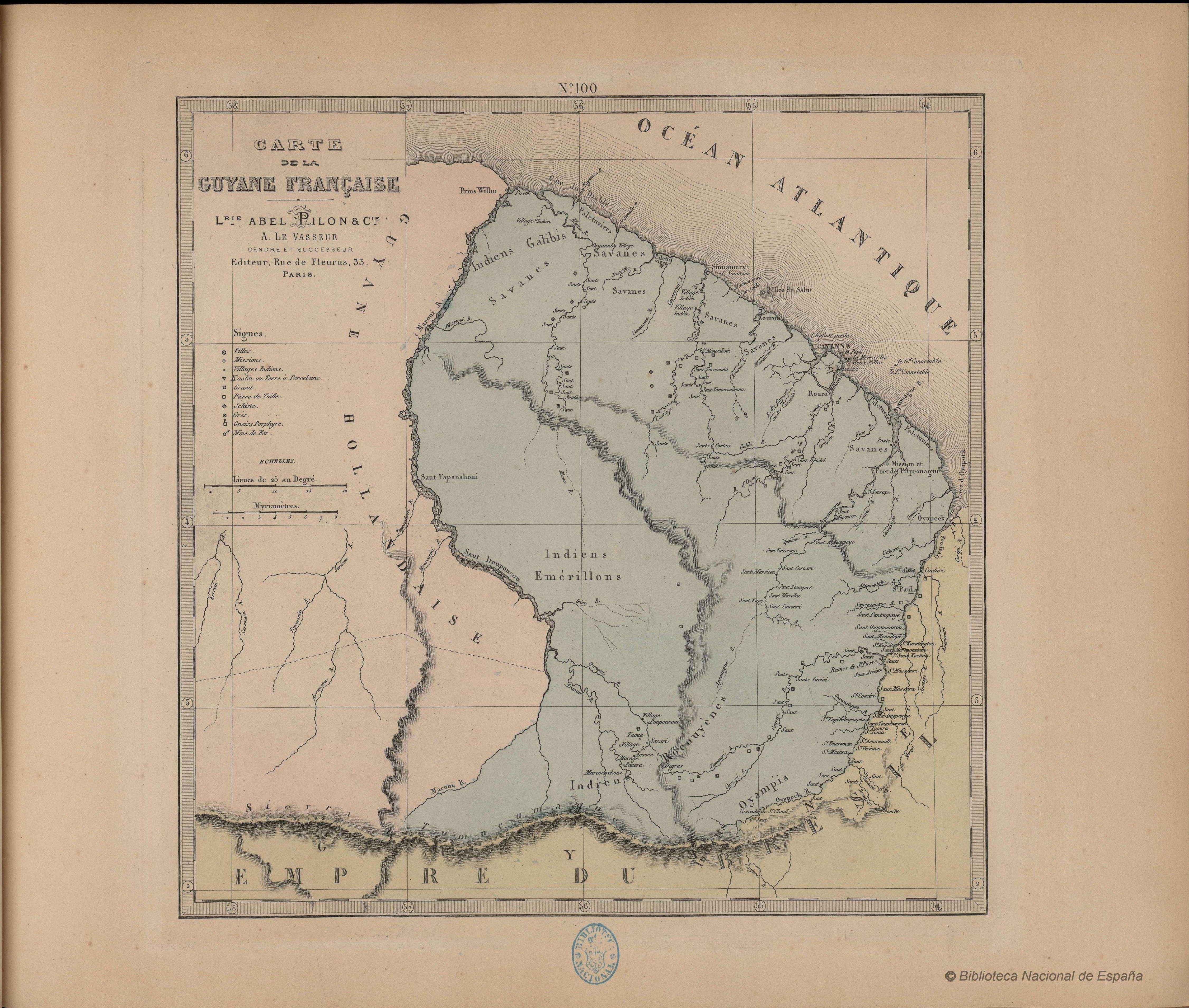
Peoples
- EMERILLONS
- GALIBIS
- ROCOUYENES
- OYAMPIS
Citation
Grand atlas départemental de la France. Biblioteca Nacional de España. Accessed, February 09, 2024. http://bdh-rd.bne.es/viewer.vm?id=0000001982
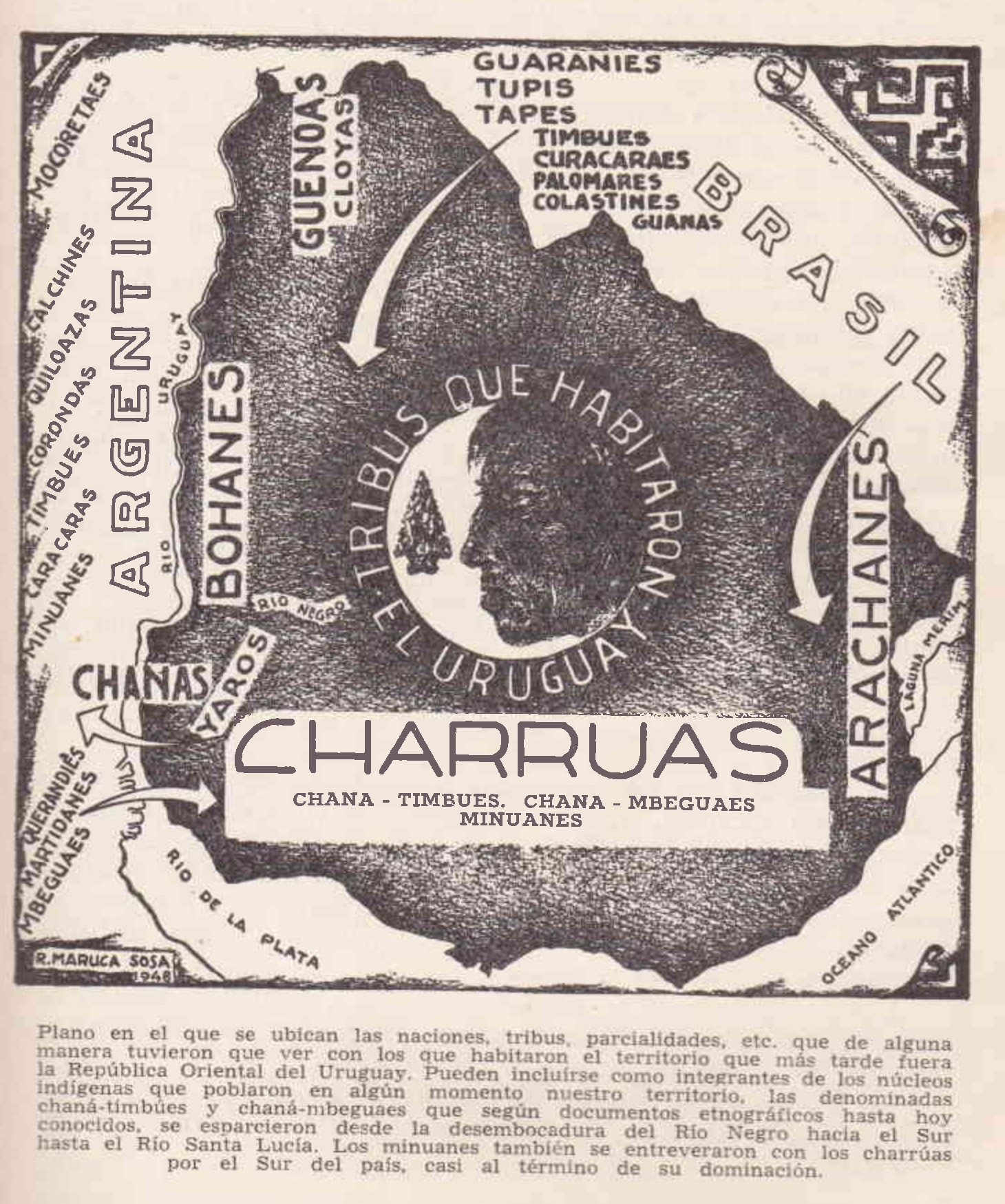
TRIBUS QUE HABITARON URUGUAY
Map 1500 - 1700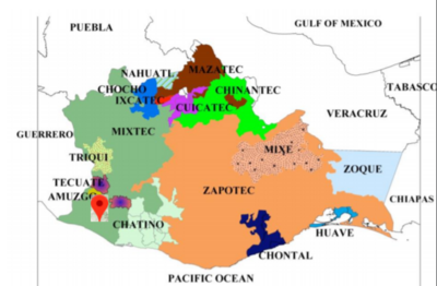
No Title
Map 2008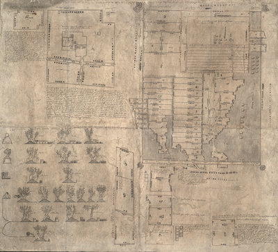
MAPA DE OZTOTÍCPAC
Map 1500 - 1599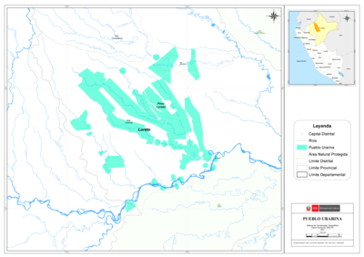
PUEBLO URARINA
Map 2021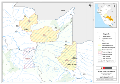
PUEBLO MASHCO PIRO
Map 2021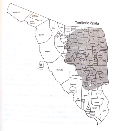
Territorio ópata
Map 2015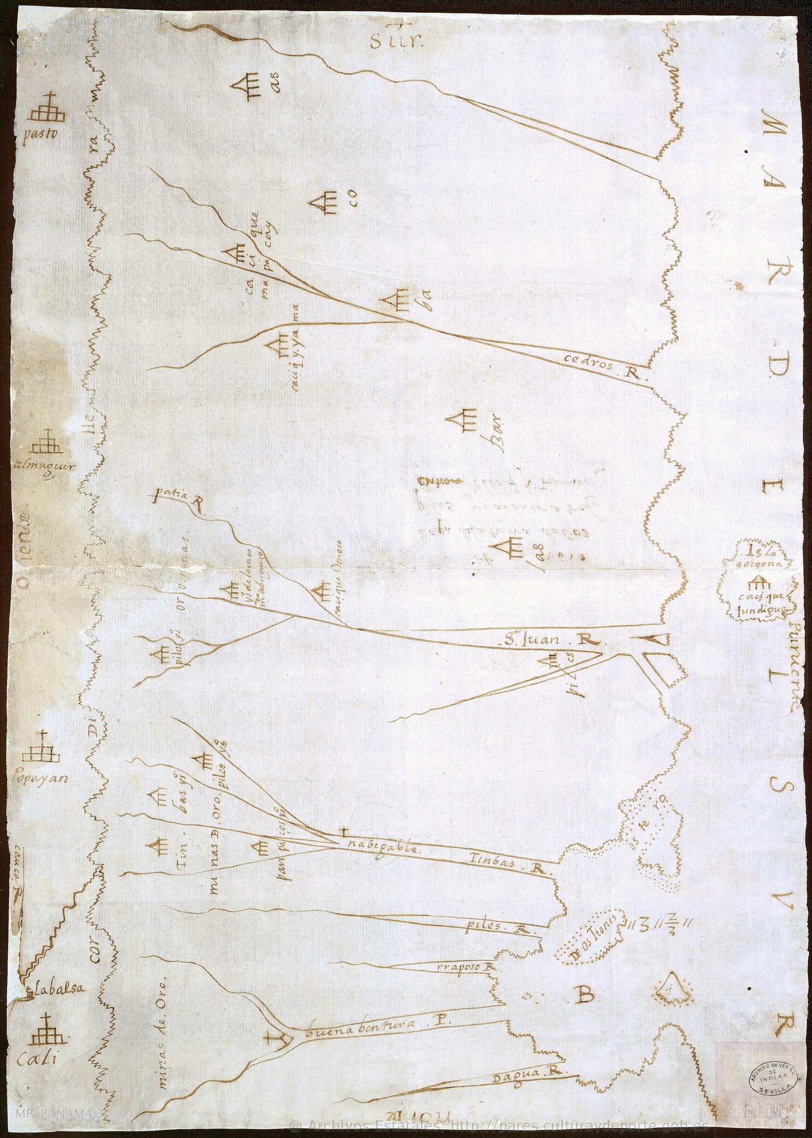
Mapa de la tierra donde habitan los indios, Piles Timbas y Barbacoas
Map 1610
Detail from the 1770 copy of Francisco Álvarez Barreiro’s 1728 map of northern New Spain illustrating Spanish mapping of Indian domains in southern Texas and along the Gulf Coast, especially through the repetition of labels: “tierra de los Pampopas,” “tierra de los Carrizos,” “tierra de los Cujanes,” etc.
Map 1728