
Peoples
- AOUARA
- EMERILLON
Citation
Carte de la Guyane française au 1 : 500.000. Gallica. Last modified: September 21, 2015. Accessed, August 29, 2023. https://gallica.bnf.fr/ark:/12148/btv1b53192567g
![Sin título [Untitled]](https://dnet8ble6lm7w.cloudfront.net/art_sm/ACOL005.png)
Sin título [Untitled]
Artwork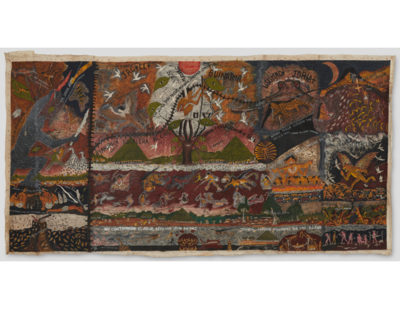
Huitoto Cosmovision
Artwork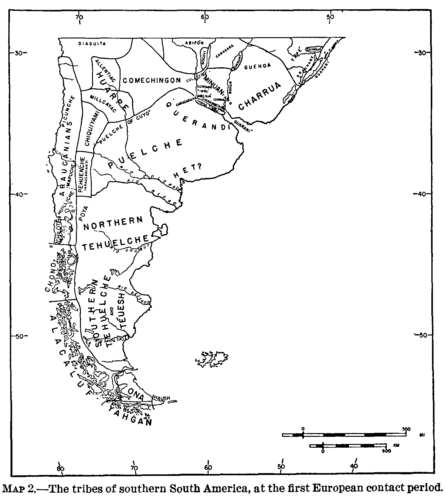
The tribes of southern South America, at the first European contact period
Map 1600 - 1799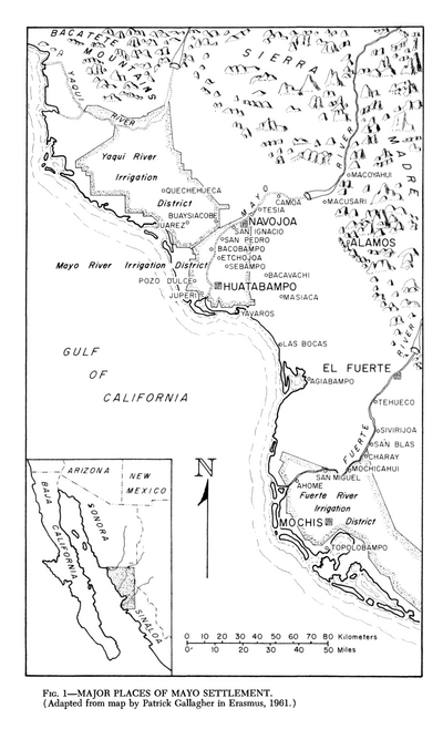
Major Places of Mayo Settlement
Map 1969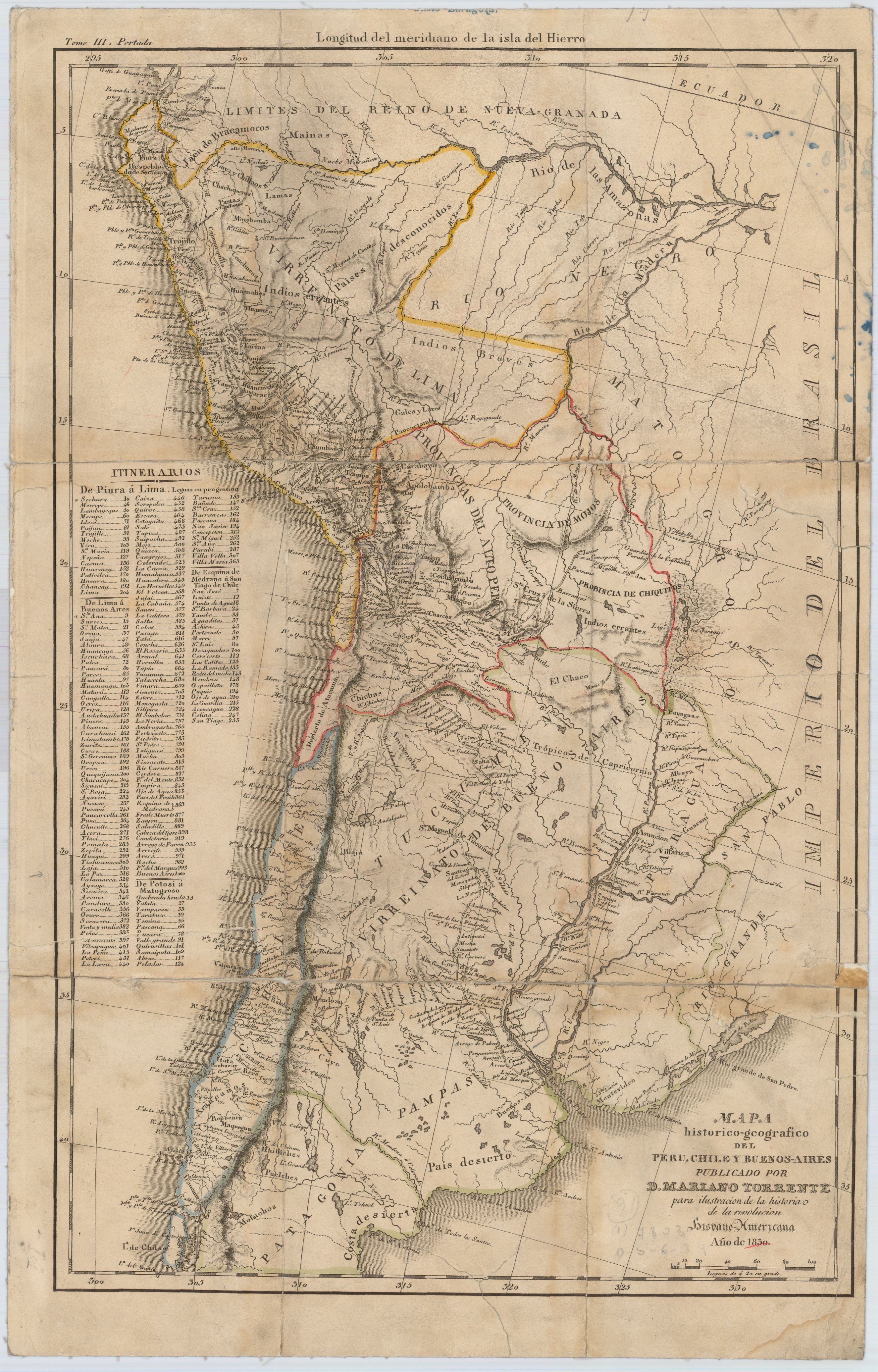
Mapa histórico-geográfico de Perú, Chile y Buenos Aires
Map 1830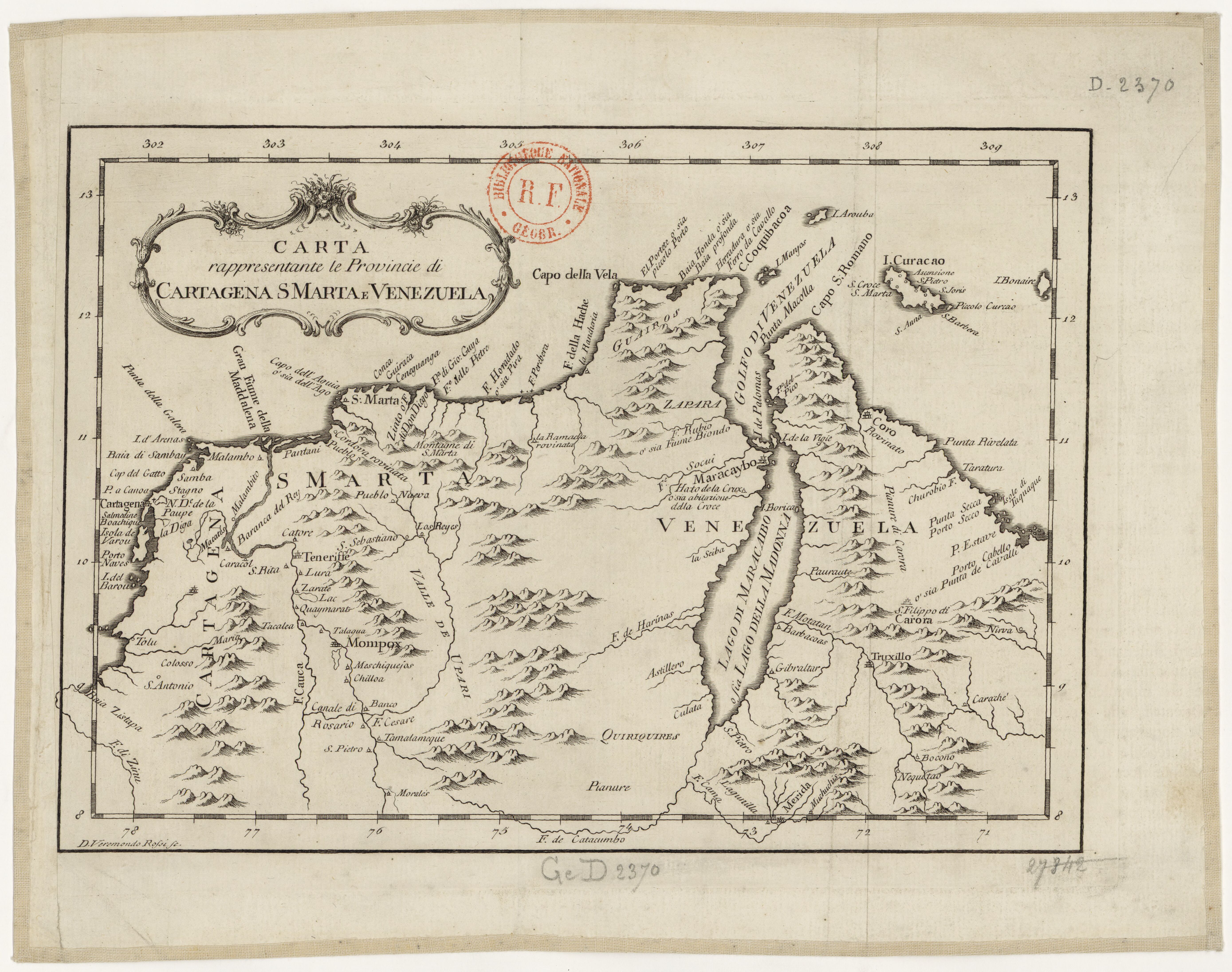
Carta rappresentante le Provincie di Cartagena;S Marta e Venezuela
Map 1754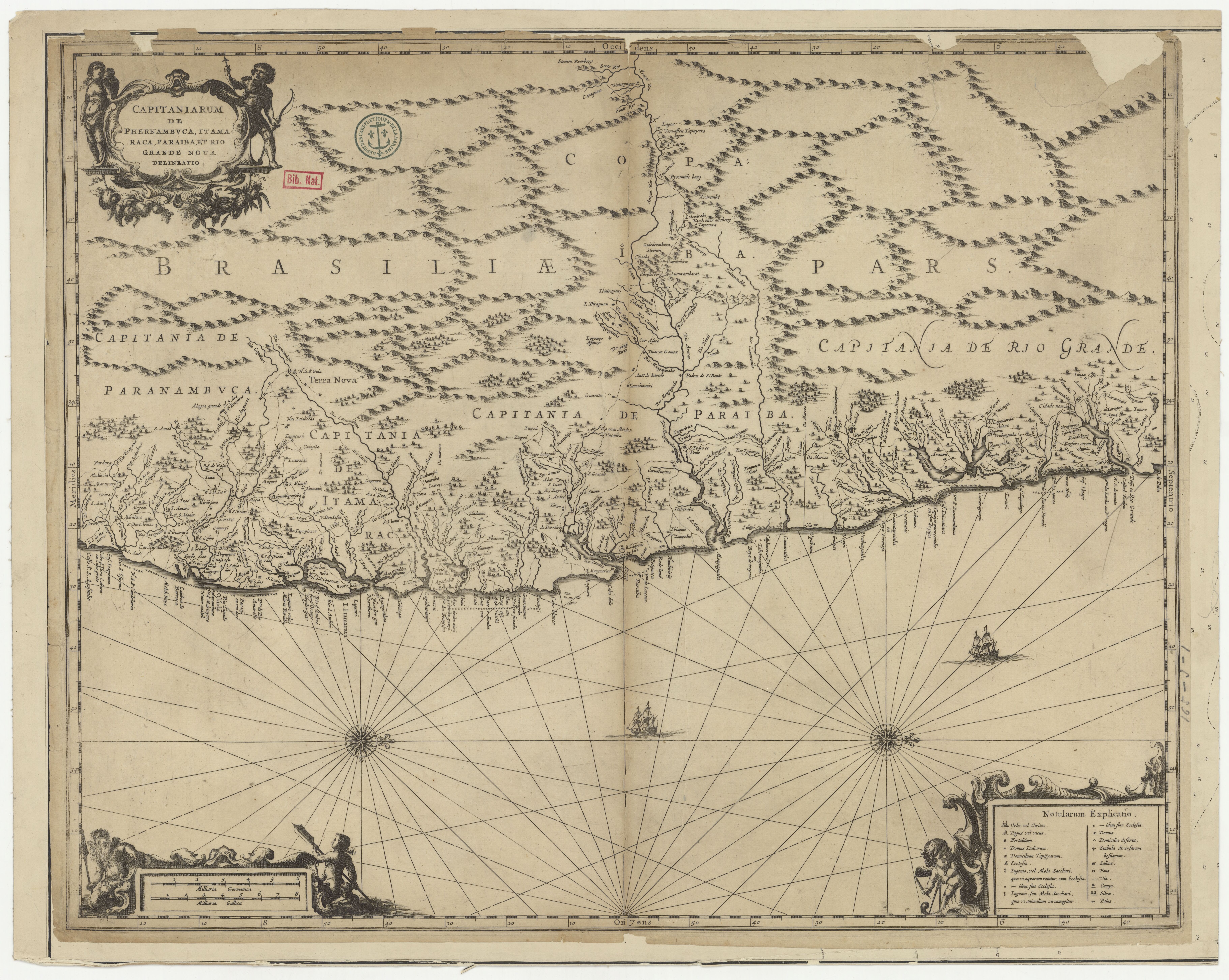
CAPITANIARUM DE PHERNAMBUCA, ITAMARACA, PARAIBA ET RIO GRANDE NOVA DELINEATIO
Map 1650![[O ateliê], sem data [The studio, undated]](https://dnet8ble6lm7w.cloudfront.net/art_sm/ABRA021.png)
[O ateliê], sem data [The studio, undated]
Artwork