Peoples
- AROUAS
Citation
The Island and Colony of Cayenne subject to the French, on the Continent of South America. The JCB Library. Accessed, August 15, 2023. https://jcb.lunaimaging.com/luna/servlet/detail/JCBMAPS~1~1~2160~109480001
Tierra de Magallanes con las Naciones que se han podido descubrir en viages de Mar y tierra desde el año 1745 hasta el de 1748 ;Viage de parte de la Tierra de Magallanes hecho año de 1748 por Tierra adentro y por la Playa del Mar / Este segundo viage lo hizo el P. Joseph Cardiel solo, sin otro sugeto de la Compañia, y el mismo formó tambien este Mapa, es sugeto dignisimo de todo credito. Paraguay, y Abril 14 de 1749 Sebastián de San Martín
Map 1745 - 1748
Derrotero de las cartas de América desde la ciudad de Compostela hasta el estrecho Magallanes, con el de las islas de Juan Fernández y las de Salomón
Map 1601
MAPA de las Costas de TIERRA-FIRME Desde el Orinoco hasta Yucatán
Map 1840
Côtes du continent d'Amérique despuis le cap Ste Marthe...jusqu'au cap Cameron.
Map 1784
Confluent de l'Amazone, de l'Urubu et du Uatuma, confluent de l'Amazone et du Madeira
Map 1729
NIVACLÉ
Map 2015
FACSIMILE PART OF AMERICA BY DELISLE
Map 1722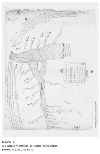
MAPA 1: RIO ATRATO Y PUEBLOS DE INDIOS CUNA-CUNAS
Map 1759