Peoples
- CARBETS DINDIENS
Citation
Plan de la Rivière de Kourou et de la mission. Gallica. Last modified: September 28, 2015. Accessed, August 1, 2023. https://gallica.bnf.fr/ark:/12148/btv1b53103747z
A Description of the Plantations in the Valley of Paneca
Map
MAPA DE SANTA MARÍA CUPILA
Map 1500 - 1599
Colombia Prima or South America drawn from the large map in eight sheets by Louis Stanislas D'Arcy Delarochette
Map 1811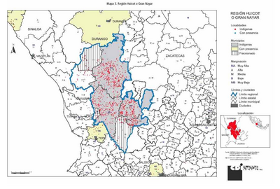
REGIÓN HUICOT O GRAN NAYAR
Map 2000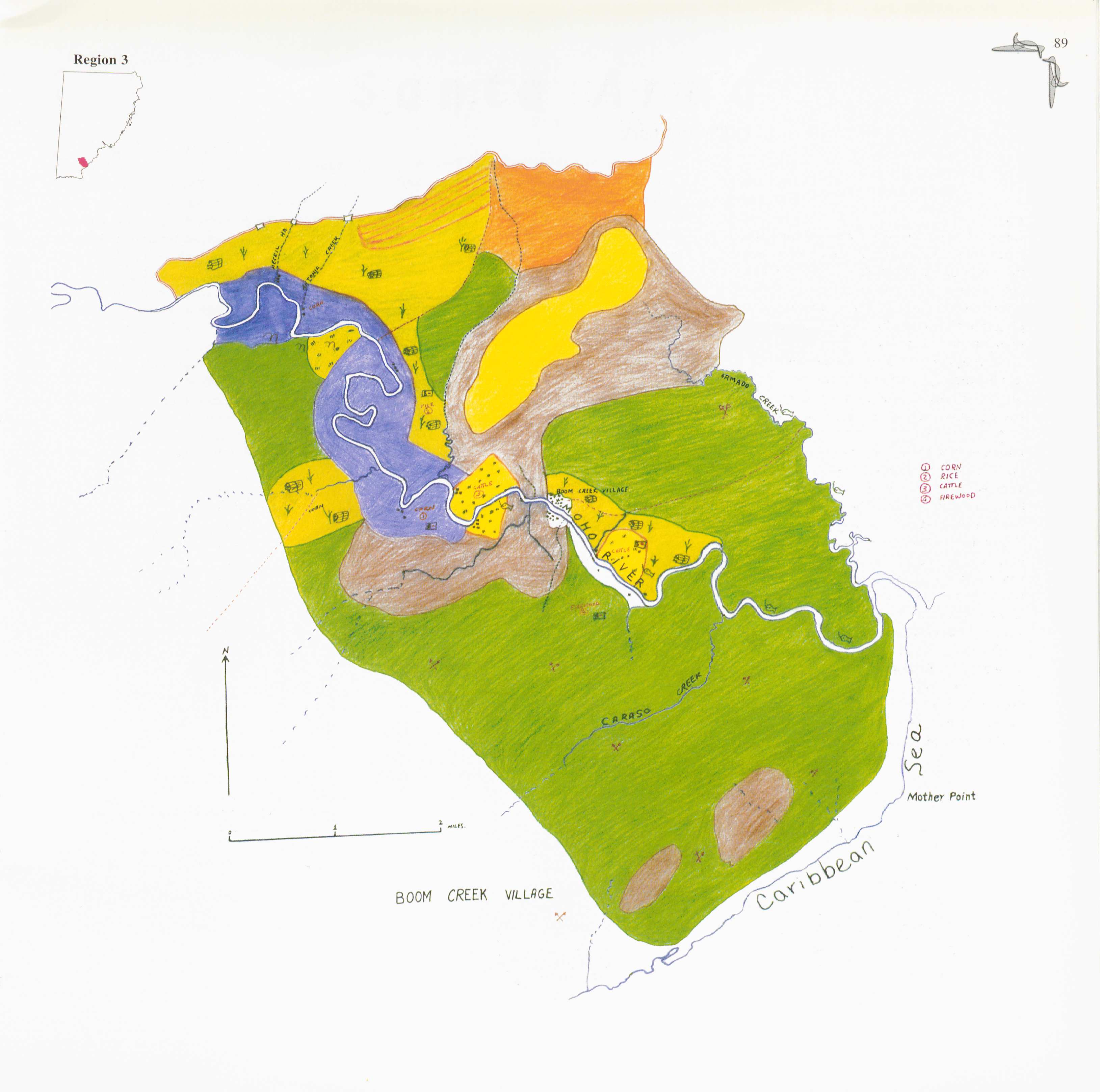
Boom Creek Village
Map 1997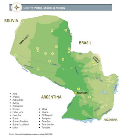
Pueblos Indígenas en Paraguay
Map 2009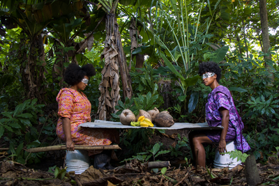
Foodtopia: después de todo territorio
Artwork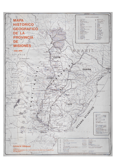
Mapa histórico geográfico de la provincia de Misiones (1585-1896)
Map 1585 - 1896