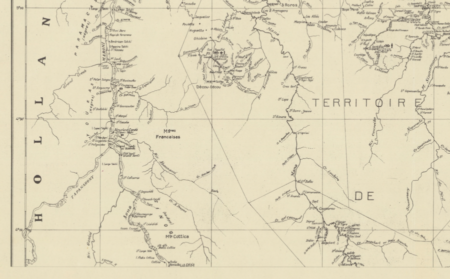
Peoples
- GALIBIS
- MARAOUANES
Citation
Carte de la reconnaissance de la Guyane française / Service géographique de l'Inini. Gallica. Last modified: April 12, 2022. Accessed, July 5, 2023. https://gallica.bnf.fr/ark:/12148/btv1b53171845x
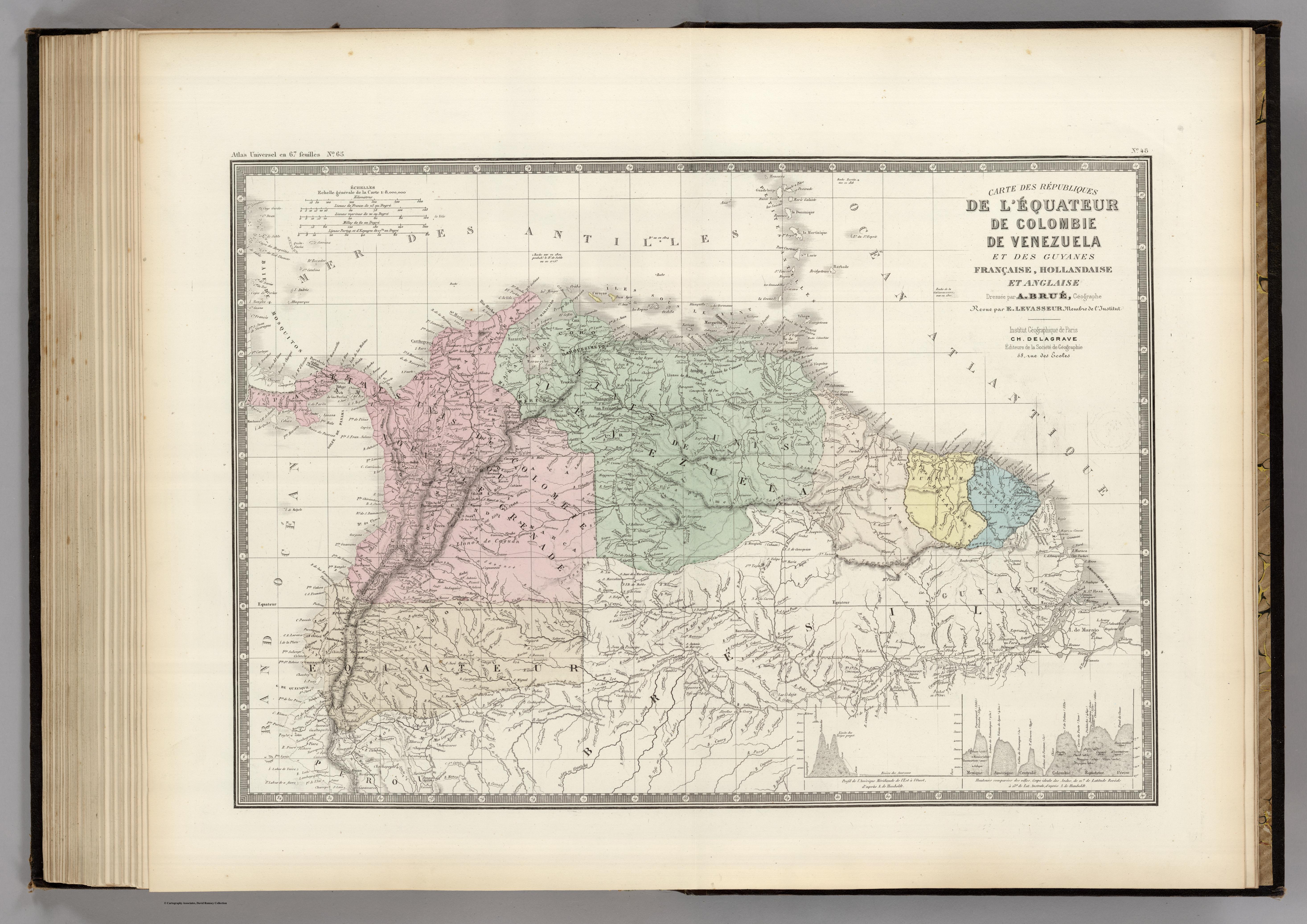
CARTE DES REPUBLIQUES DE L'EQUATEUR;DE COLOMBIE;DE VENEZUELA;ET GUYANES FRANCAISE;HOLLANDAISE;ET ANGLAISE
Map 1875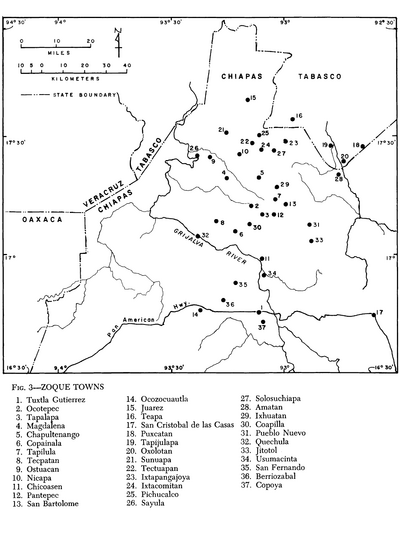
Zoque Towns
Map 1969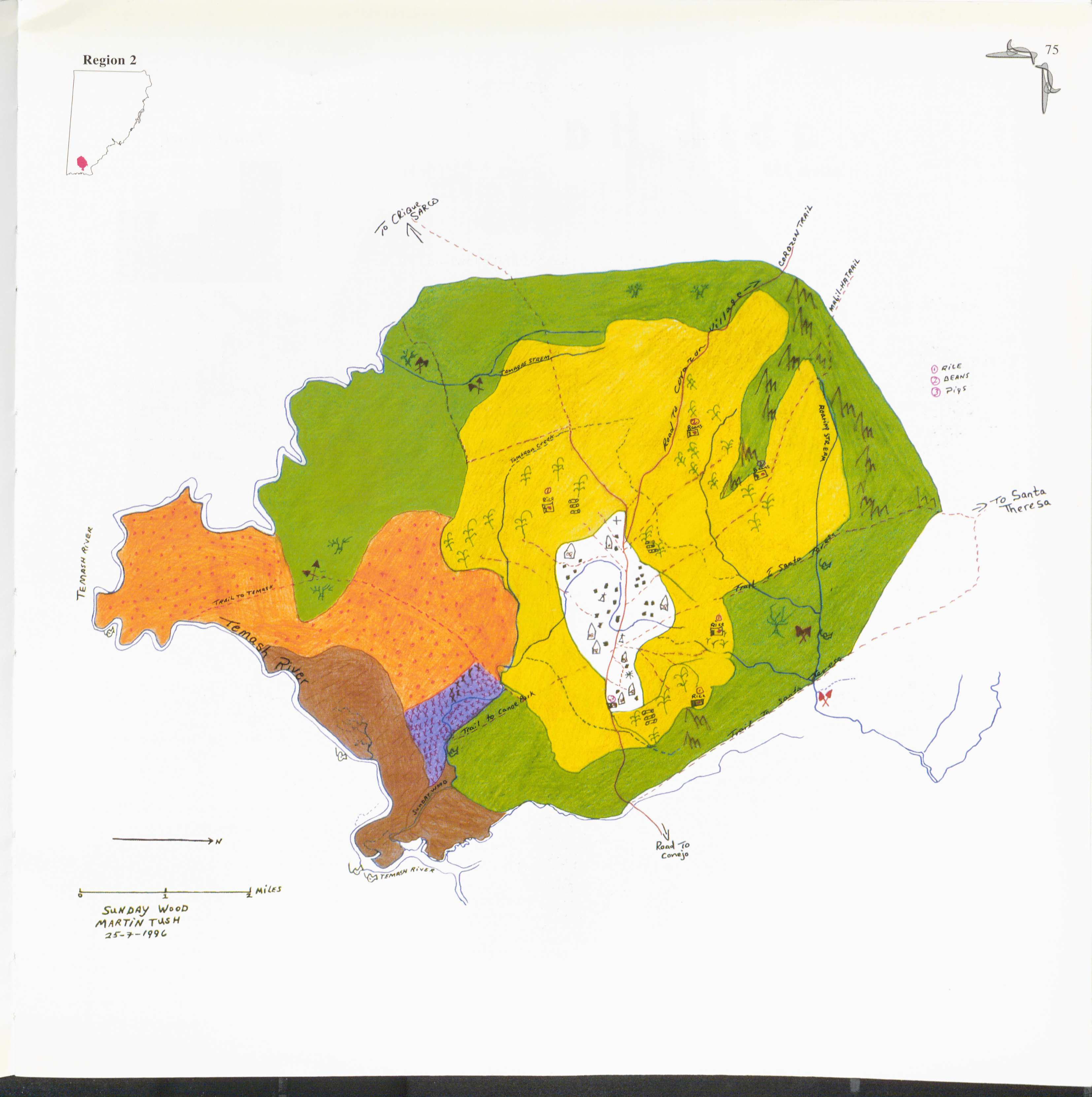
Sunday Wood
Map 1997
Mappa Paraquariae.
Map 1700
Mapa topográfico que señala las Misiones de don José Miguel Vásquez en el Casanare.
Map 1769![Chamán asháninka [Ashánika Shaman]](https://dnet8ble6lm7w.cloudfront.net/art_sm/APER051.png)
Chamán asháninka [Ashánika Shaman]
Artwork
CARTE GÉOGRAPHIQUE, STATISTIQUE, HISTORIQUE ET POLITIQUE DU BRÉSIL
Map 1826
Ramas de los Idiomas Mayas
Map 1970