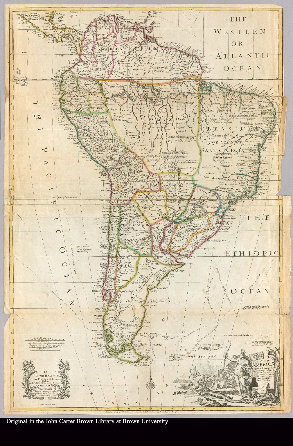
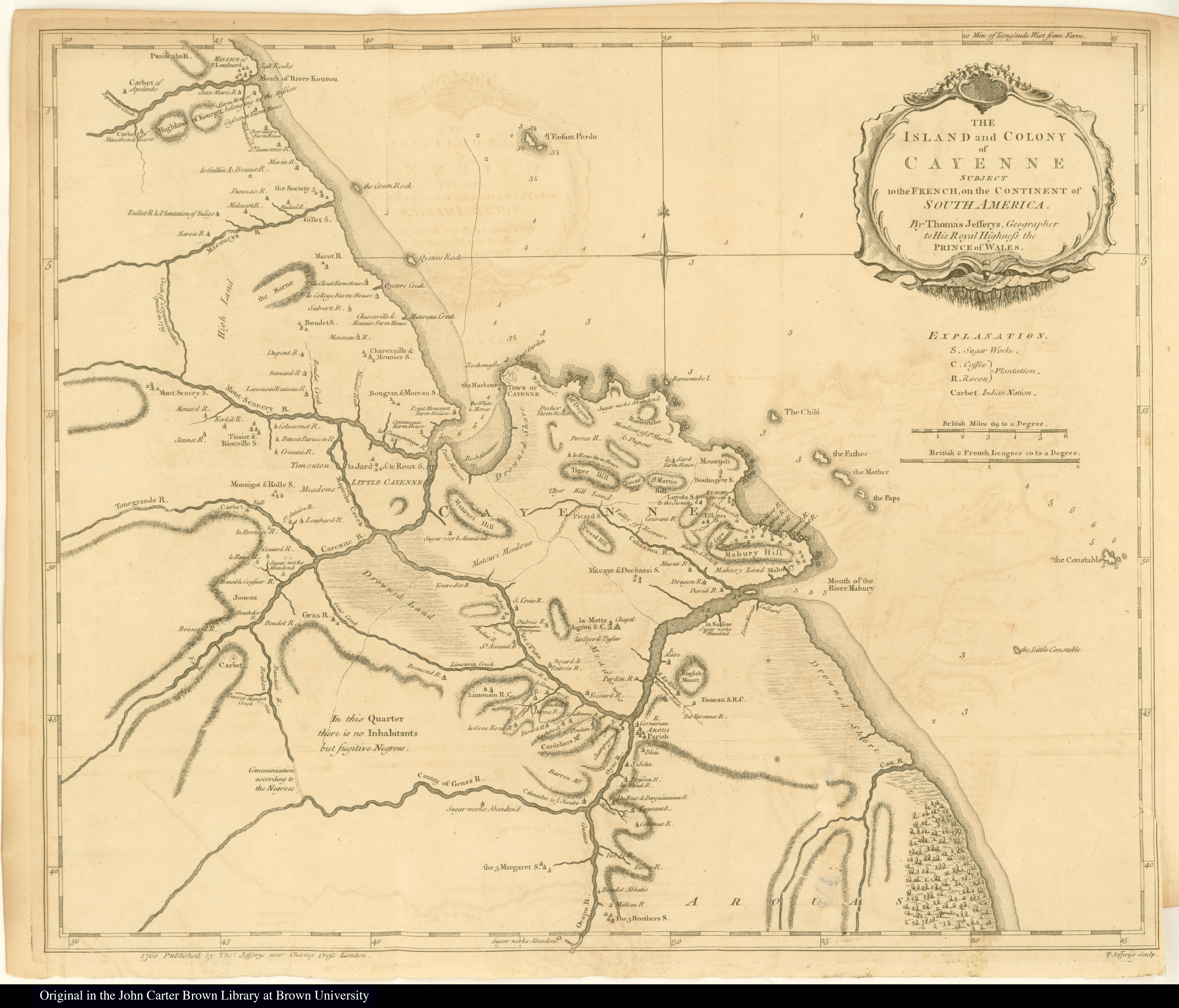
Dispossesions in the Americas

Dispossesions in the Americas

  • Home
  • Explore
  • About
  • Authors
  • Art
  • Bodies
  • Curricula
  • Cultural Heritage
  • Maps
  • Territories
Back to Explore
Map 1869

La France. Amérique Française (Guyane). Afrique Française (Illes S.te Marie, Nossi-bé, Nossi-cumba, Nossi-fali &.).

  • MIGEON, J.;VUILLEMIN, A.

Published: 1869

  • Download Image

Peoples

  • EMERILLONS
  • GALIBIS
  • KIRIKIRISCOTAS
  • OYAMPIS
  • PALENAUES

Citation

Iles St. Pierre et Miquelon. Iles Marquises. Guyane. Iles Ste. Marie, Nossi-be, Nossi-cumb... David Rumsey Map Collection. Accessed, July 5, 2023. https://www.davidrumsey.com/luna/servlet/detail/RUMSEY~8~1~269248~90043150:Iles-St--Pierre-et-Miquelon--Iles-M

  • Download Image

Reading in Spanish

Map 1869

La France. Amérique Française (Guyane). Afrique Française (Illes S.te Marie, Nossi-bé, Nossi-cumba, Nossi-fali &.).

  • MIGEON, J.;VUILLEMIN, A.

Published: 1869

  • Download Image
  • Download Image

Reading in Portuguese

Map 1869

La France. Amérique Française (Guyane). Afrique Française (Illes S.te Marie, Nossi-bé, Nossi-cumba, Nossi-fali &.).

  • MIGEON, J.;VUILLEMIN, A.

Published: 1869

  • Download Image

Peoples

  • EMERILLONS
  • GALIBIS
  • KIRIKIRISCOTAS
  • OYAMPIS
  • PALENAUES

Citation

Iles St. Pierre et Miquelon. Iles Marquises. Guyane. Iles Ste. Marie, Nossi-be, Nossi-cumb... David Rumsey Map Collection. Accessed, July 5, 2023. https://www.davidrumsey.com/luna/servlet/detail/RUMSEY~8~1~269248~90043150:Iles-St--Pierre-et-Miquelon--Iles-M

  • Download Image

Related Content

BRASILIA qua parte paret BELGIS

BRASILIA qua parte paret BELGIS

Map 1644
Carte de la Moskitie oú se fonde la Neustrie

Carte de la Moskitie oú se fonde la Neustrie

Map 1830
South America corrected from the observation communicated to the
     Royal Society"s of London & Paris by John Senex, at the Globe against St.
     Dunstans Church Fleetstreet.

South America corrected from the observation communicated to the Royal Society"s of London & Paris by John Senex, at the Globe against St. Dunstans Church Fleetstreet.

Map 1755
BRASIL

BRASIL

Map 1822
Mapa de Honduras,  with Mapa Físico y Etnográfico (insert)

Mapa de Honduras, with Mapa Físico y Etnográfico (insert)

Map 1929
The Island and Colony of Cayenne subject to the French, on the Continent of South America.

The Island and Colony of Cayenne subject to the French, on the Continent of South America.

Map 1760
[Ecuador & Peru Coastlines] Carta particolare del'Peru che comincia con il capo di Guanapo e finisce con il C. S:

[Ecuador & Peru Coastlines] Carta particolare del'Peru che comincia con il capo di Guanapo e finisce con il C. S:

Map 1646
Carta Del Gran Chaco e Paesi Confinanti

Carta Del Gran Chaco e Paesi Confinanti

Map 1700 - 1767

Dispossessions in the Americas

A project by

University of Pennsylvania

Copyright 2024

With support from

Mellon Foundation

Site design & development

Element 84

Art Credits

Iles St. Pierre et Miquelon. Iles Marquises. Guyane. Iles Ste. Marie, Nossi-be, Nossi-cumb… David Rumsey Map Collection. Accessed, July 5, 2023. https://www.davidrumsey.com/luna/servlet/detail/RUMSEY~8~1~269248~90043150:Iles-St--Pierre-et-Miquelon--Iles-M

Site Pages

  • Home
  • Explore
  • About
  • Authors
  • Art
  • Bodies
  • Curricula
  • Cultural Heritage
  • Maps
  • Territories