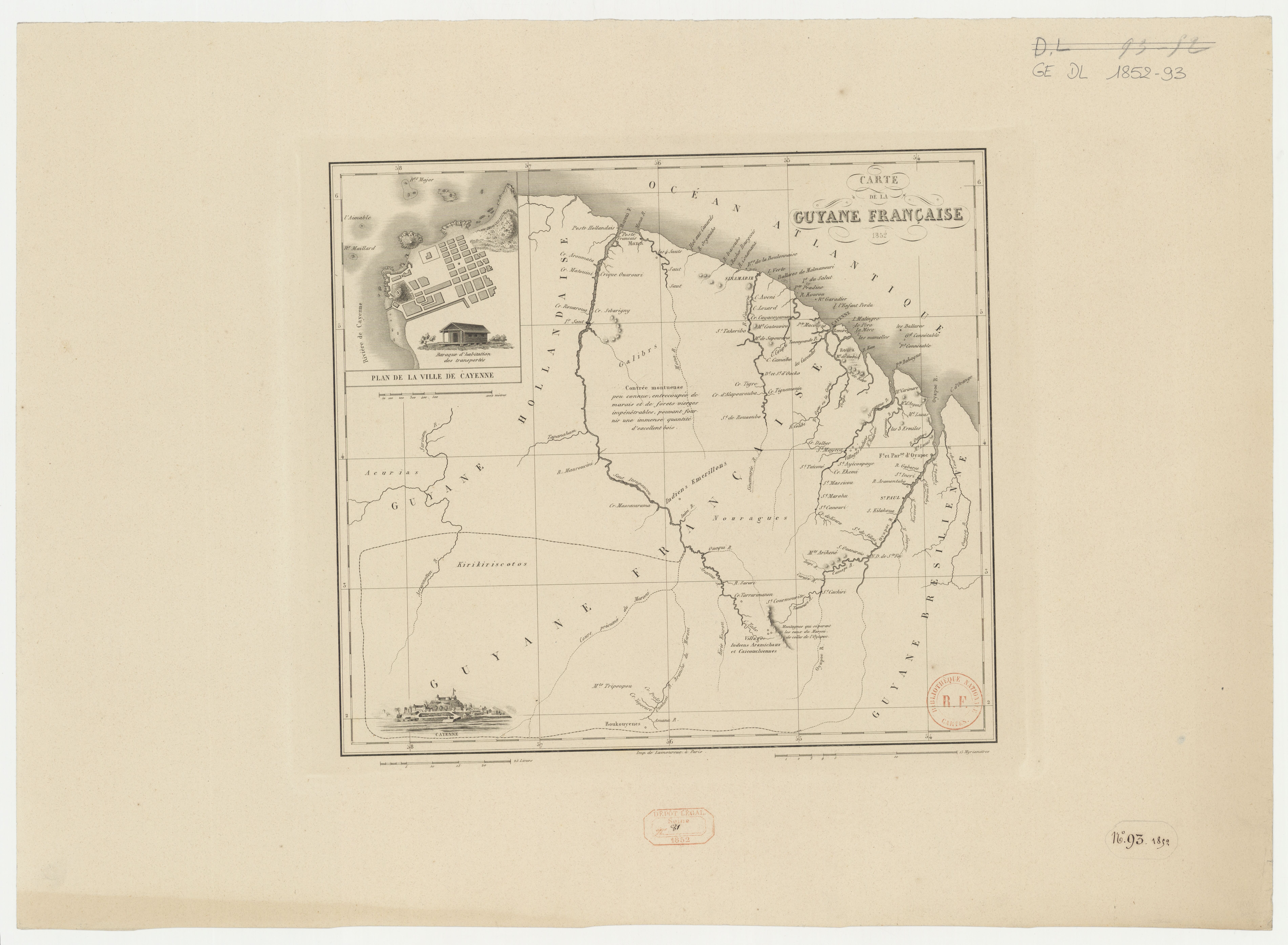
Peoples
- ACURIAS
- ARAMICHAUX
- BOUKOUYENES
- CAICOUCHIENNES
- EMERILLONS
- GALIBYS
- KIRIKIRISCOTOS
Citation
Carte de la Guyane française. Gallica. Last modified: January 3, 2017. Accessed, June 27, 2023. https://gallica.bnf.fr/ark:/12148/btv1b53136304d

Ulises
Artwork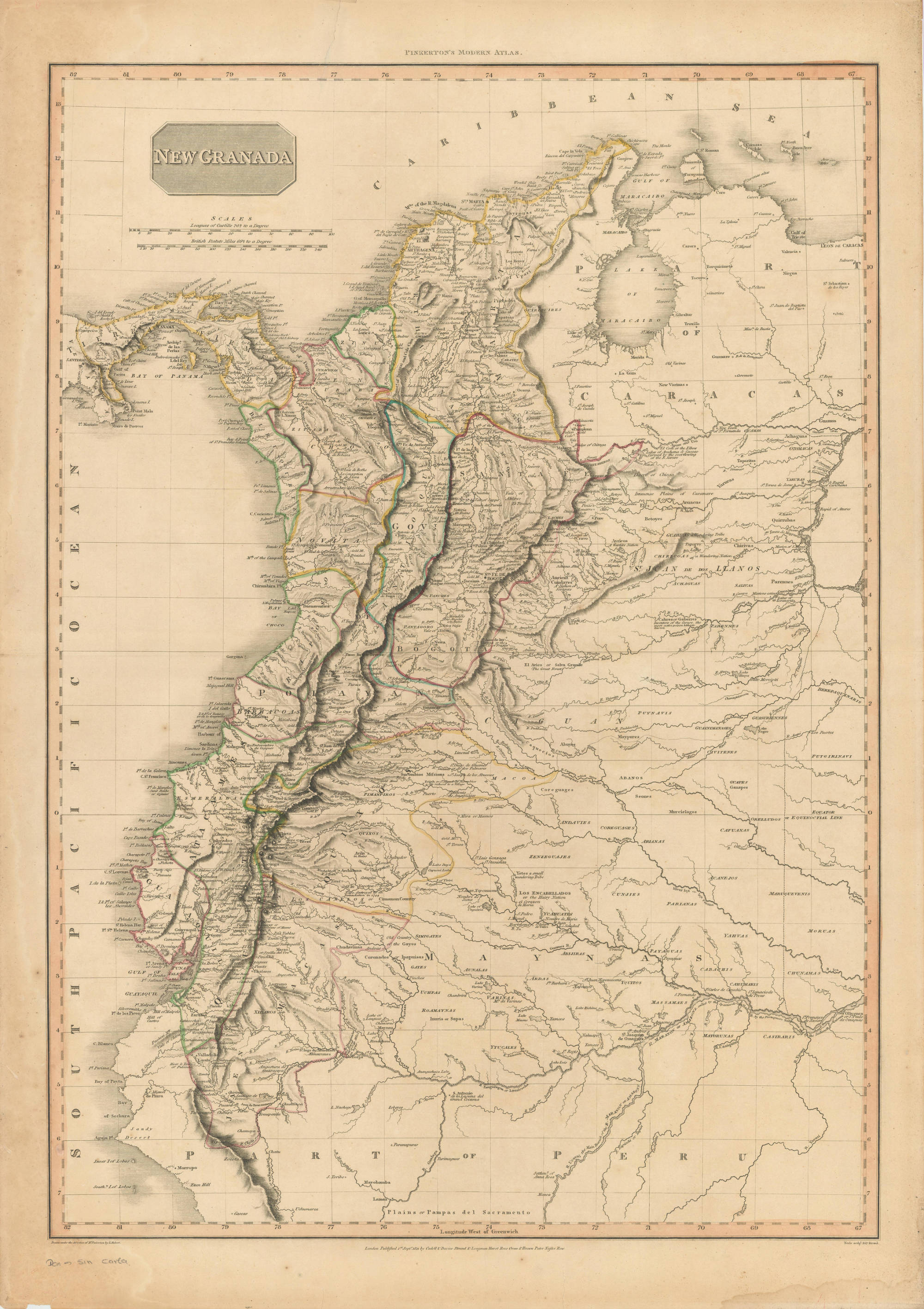
NEW GRANADA
Map 1811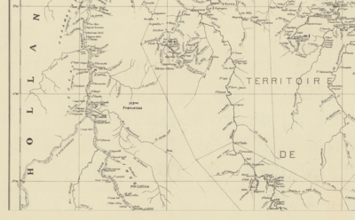
Carte de la Guyane française
Map 1946![Portada de la revista Trocha [Cover of Trocha Magazine]](https://dnet8ble6lm7w.cloudfront.net/art_sm/APER052.png)
Portada de la revista Trocha [Cover of Trocha Magazine]
Artwork
REPRESENTACIÓN EN FORMA DE TRÍPTICO DE LAS TIERRAS DE TEPAL;CUENCA;CORRESPONDE AL EXPEDIENTE PROMOVIDO POR POSESIÓN DE TIERRAS ENTRE LOS INDÍGENAS DE SANTA ANA DE PICHACAY CONTRA MARÍA Y FRANCISCA CAZAR
Map 1828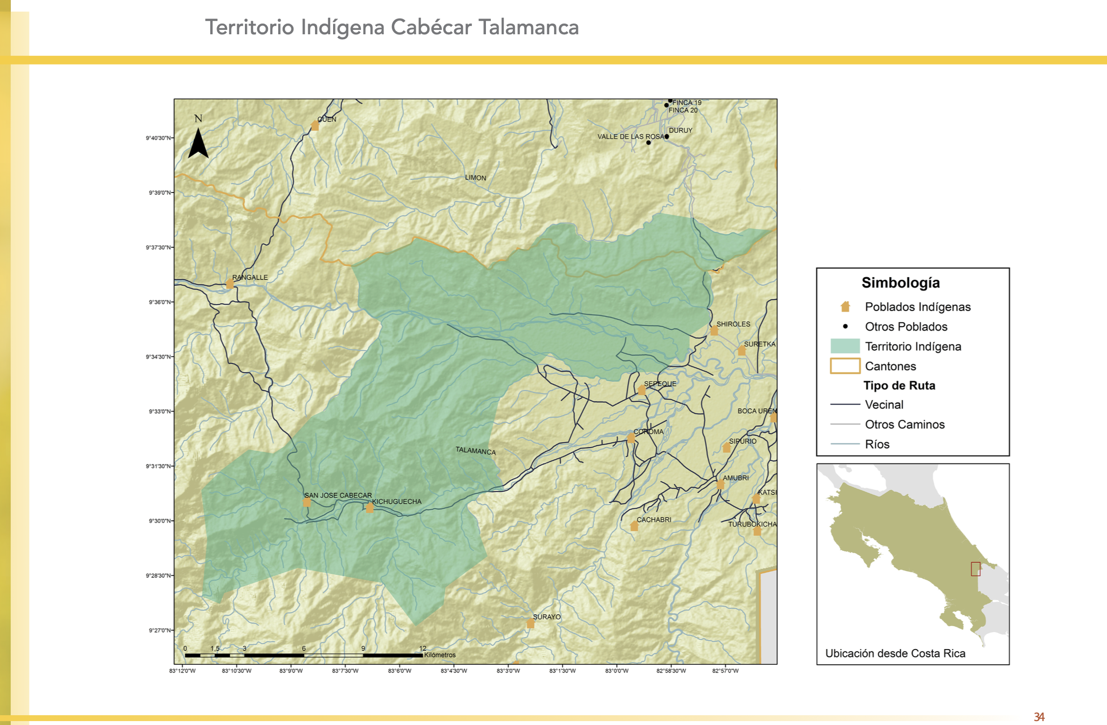
"Territorio Indígena Cabécar Talamanca"
Map 2010
Mapa que comprehende las Misiones de Moxos y Chiquitos.
Map 1763 - 1766
TABULA geographica del rio Maranon o Amazonas
Map 1690