Dispossesions in the Americas

Dispossesions in the Americas

  • Home
  • Explore
  • About
  • Authors
  • Art
  • Bodies
  • Curricula
  • Cultural Heritage
  • Maps
  • Territories
Back to Explore
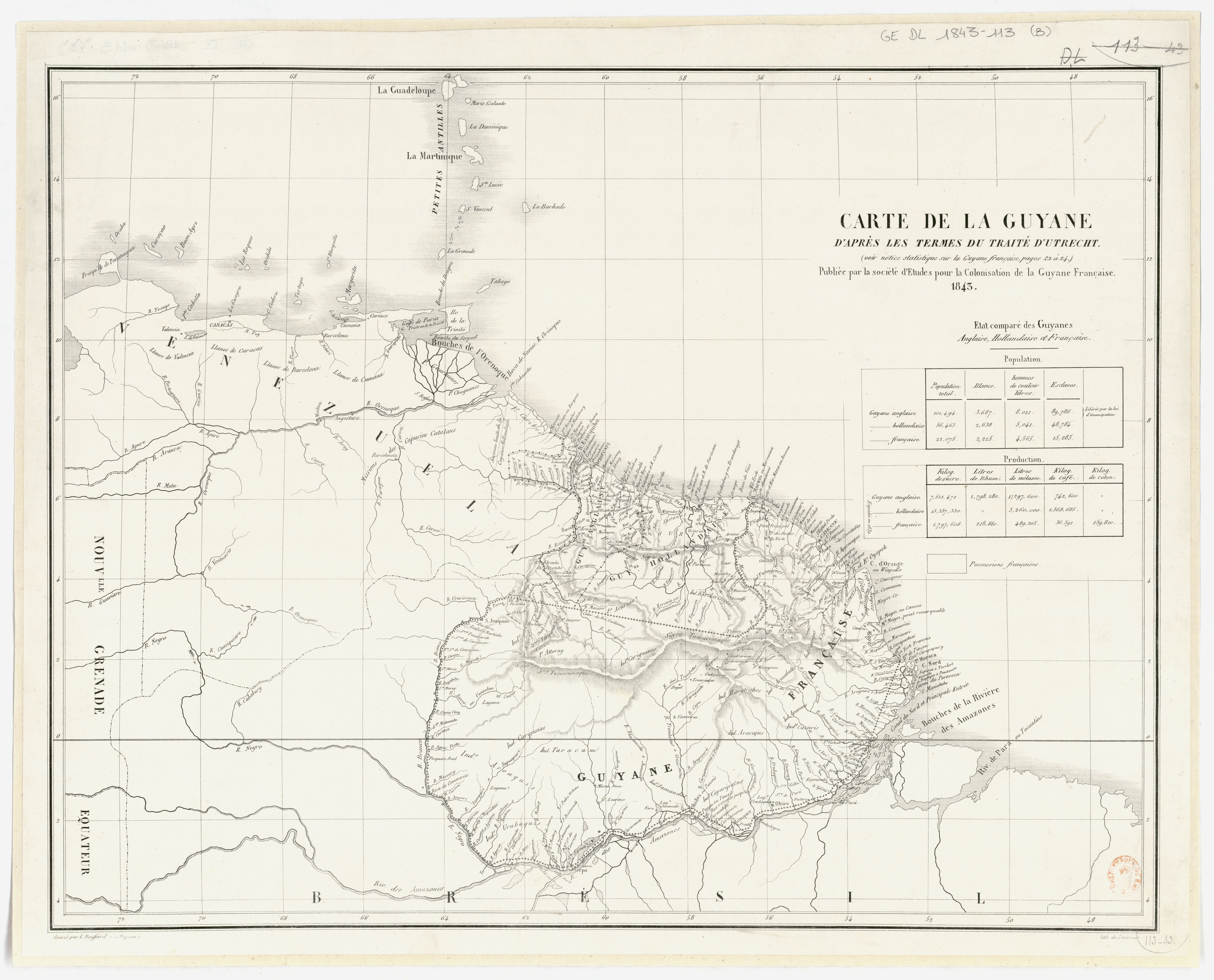
Map 1843

Carte de la Guyane d'après les termes du traité d'Utrecht / publiée par la Société d'études pour la colonisation de la Guyane française

  • SOCIÉTÉ D'ÉTUDES POUR LA COLONISATION DE LA GUYANE FRANÇAISE

Published: 1843

  • Download Image

Peoples

  • ACURIAS
  • APAMAS
  • ARACAJUS
  • ARMABUTOS
  • AROAQUIS
  • ARUACA
  • ATTORAY
  • CARIBES
  • CARIGUANOS
  • CARIPUNAS
  • COPARIPUCUS
  • CUZARIS
  • DEGRAS
  • EMERILLONS
  • GALIBIS
  • GUACABAYAS
  • HARYTRAHES
  • JUMUNDAS
  • KIRIKIRISCOTAS
  • MAREMARCHOUA
  • MATABARA
  • OYAMPIS
  • PALENAUES
  • POUPOUROIS
  • RUCUYENES
  • TAOUA
  • TARACUM
  • TUNAYENES
  • TURES
  • URUBAQUIS

Citation

"Carte de la Guyane d'après les termes du traité d'Utrecht / publiée par la Société d'études..." Gallica. Last modified: January 26, 2015. Accessed June 21, 2023. https://gallica.bnf.fr/ark:/12148/btv1b53087501f
  • Download Image

Reading in Spanish

Map 1843

Carte de la Guyane d'après les termes du traité d'Utrecht / publiée par la Société d'études pour la colonisation de la Guyane française

  • SOCIÉTÉ D'ÉTUDES POUR LA COLONISATION DE LA GUYANE FRANÇAISE

Published: 1843

  • Download Image
  • Download Image

Related Content

PUEBLO MAM

PUEBLO MAM

Map
Nova et Accurate BRASILIAE totius TABULA

Nova et Accurate BRASILIAE totius TABULA

Map 1700 - 1745
Karte von dem Eylande Caienne und Umliegenden Orten Zur allgemeinen Histoire der Reisen

Karte von dem Eylande Caienne und Umliegenden Orten Zur allgemeinen Histoire der Reisen

Map 1757
‘INDIAN ROYAL TOWNS’ (REDUCCIONES) AND SACRED SPACES UNDER SPANISH COLONIAL RULE IN THE TERRITORY OF THE PRE-COLONIAL AYMARA POLITY OF THE PAKAXA IN THE LATE 16TH CENTURY

‘INDIAN ROYAL TOWNS’ (REDUCCIONES) AND SACRED SPACES UNDER SPANISH COLONIAL RULE IN THE TERRITORY OF THE PRE-COLONIAL AYMARA POLITY OF THE PAKAXA IN THE LATE 16TH CENTURY

Map 1570 - 1650
GEOGRAPHISCHE KARTE DER PROVINZ VON SÃO JOZÉ DO PIAUHY. Carte Géographique de PIAUHY, Province de l'Empire du Brésil

GEOGRAPHISCHE KARTE DER PROVINZ VON SÃO JOZÉ DO PIAUHY. Carte Géographique de PIAUHY, Province de l'Empire du Brésil

Map 1828
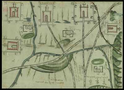
MAP OF SANTO DOMINGO TEPENENE

MAP OF SANTO DOMINGO TEPENENE

Map 1617
Carte de la Guyane française

Carte de la Guyane française

Map 1852
CÓDICE VINDOBONENSIS MEXICANUS 1, P.3

CÓDICE VINDOBONENSIS MEXICANUS 1, P.3

Map 1500 - 1599

Dispossessions in the Americas

A project by

University of Pennsylvania

Copyright 2024

With support from

Mellon Foundation

Site design & development

Element 84

Art Credits

“Carte de la Guyane d’après les termes du traité d’Utrecht / publiée par la Société d’études…” Gallica. Last modified: January 26, 2015. Accessed June 21, 2023. https://gallica.bnf.fr/ark:/12148/btv1b53087501f
Site Pages

  • Home
  • Explore
  • About
  • Authors
  • Art
  • Bodies
  • Curricula
  • Cultural Heritage
  • Maps
  • Territories