Citation
Hack, William "A description of the plantations in the valley of Paneca" Waggoner of the South Seas 1680. National Maritime Museum, Greenwich, London. P/33(21) https://www.rmg.co.uk/collections/archive/rmgc-object-541210
Carta topographica de todo o terrero comprehendido desde a Barra do Rio Grande de S. Pedro, the Castilias pequeno, que corre entre aCosta do Mar e a Lagoa de Merim
Map 1737
El área cultural de los tukano occidentales
Map 1997
LA USURPACIÓN DEL TERRITORIO AYOREO EN PARAGUAY
Map 1950 - 2009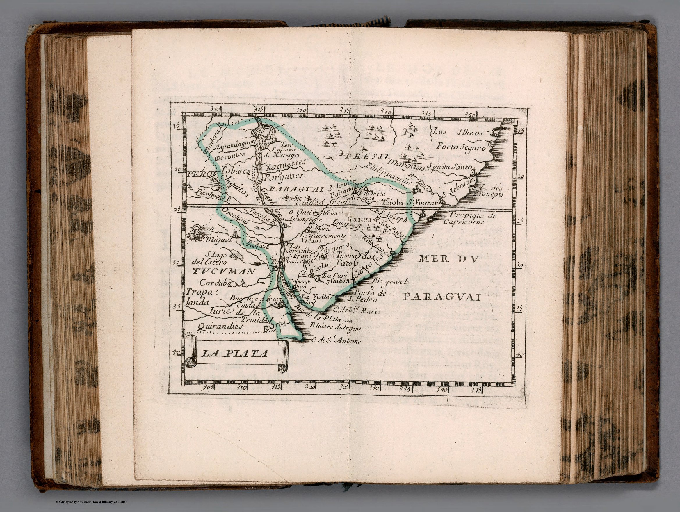
LA PLATA
Map 1658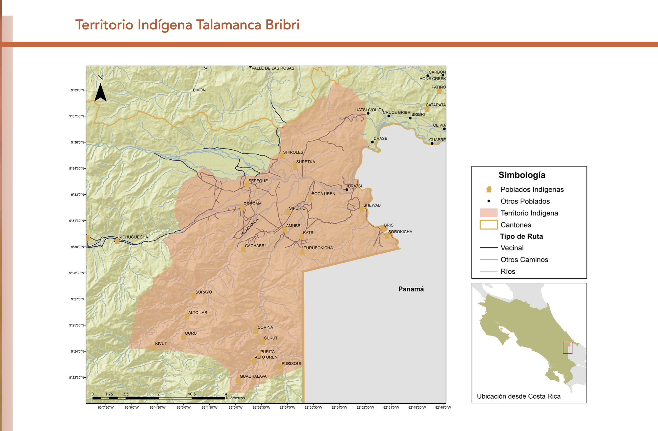
"Territorio Indígena Talamanca Bribri"
Map 2010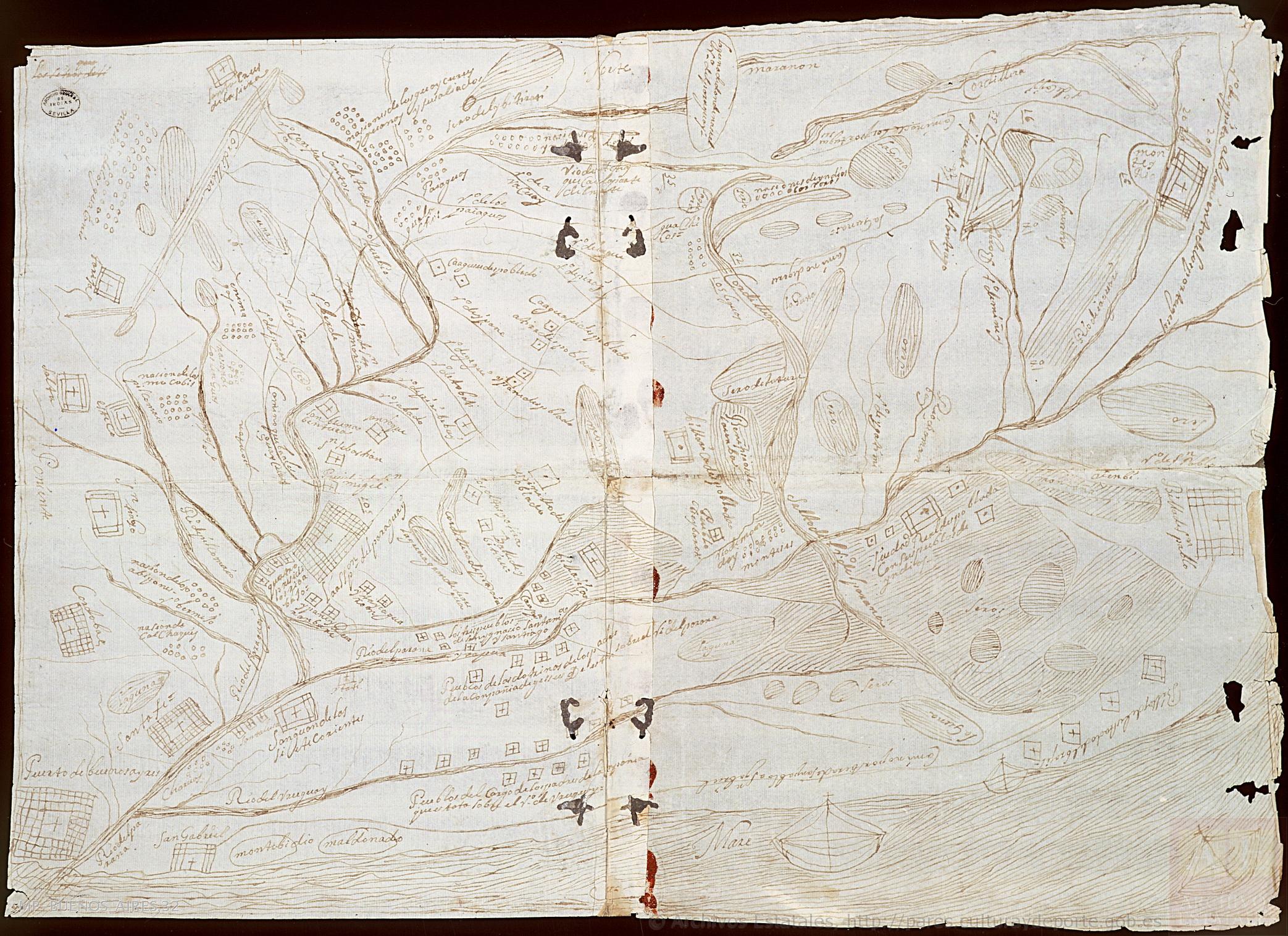
Mapa del Río de la Plata y de sus afluentes
Map 1600 - 1699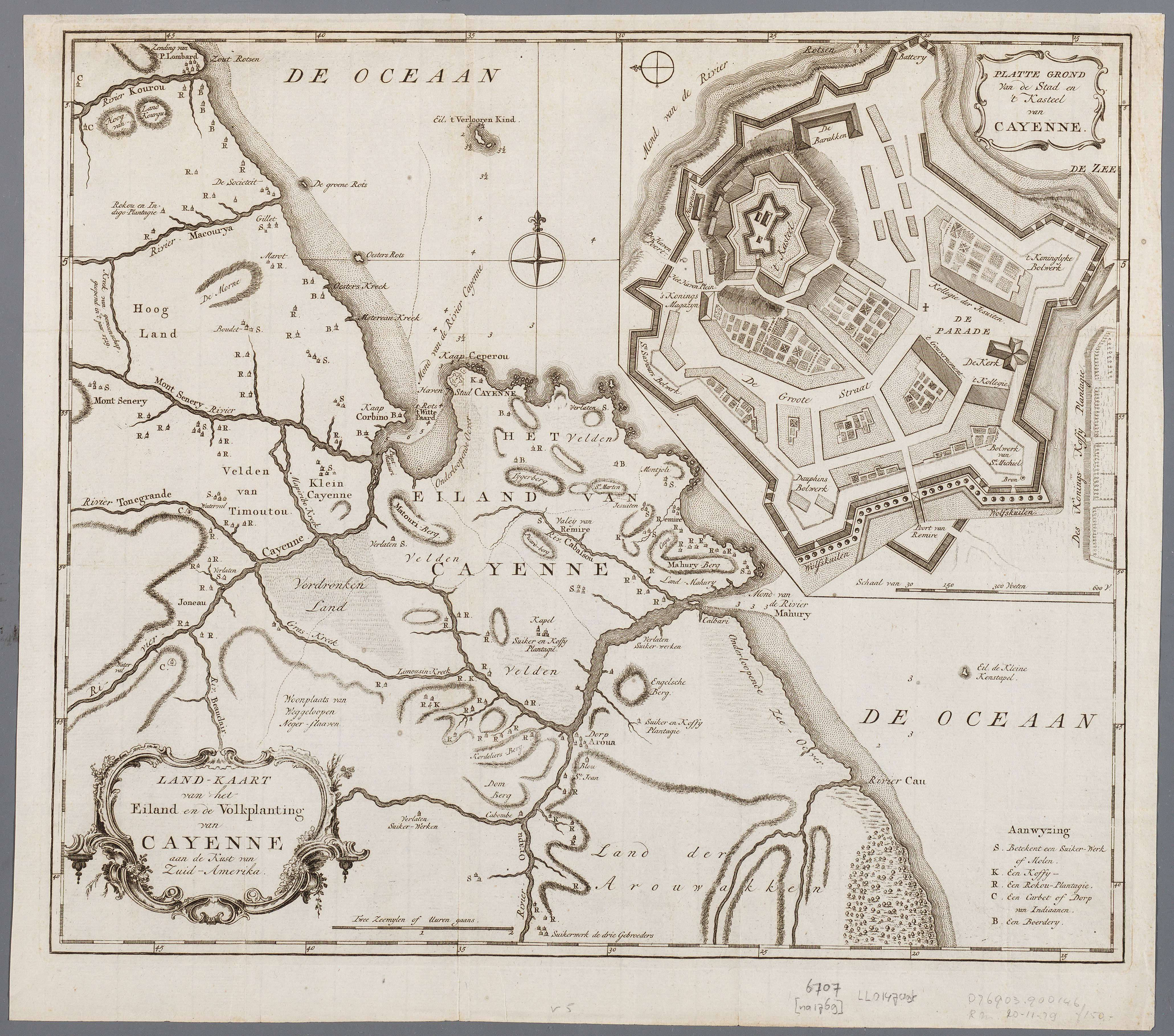
Land-kaart van het eiland en de volksplanting van Cayenne aan de kust van Zuid-Amerika
Map 1769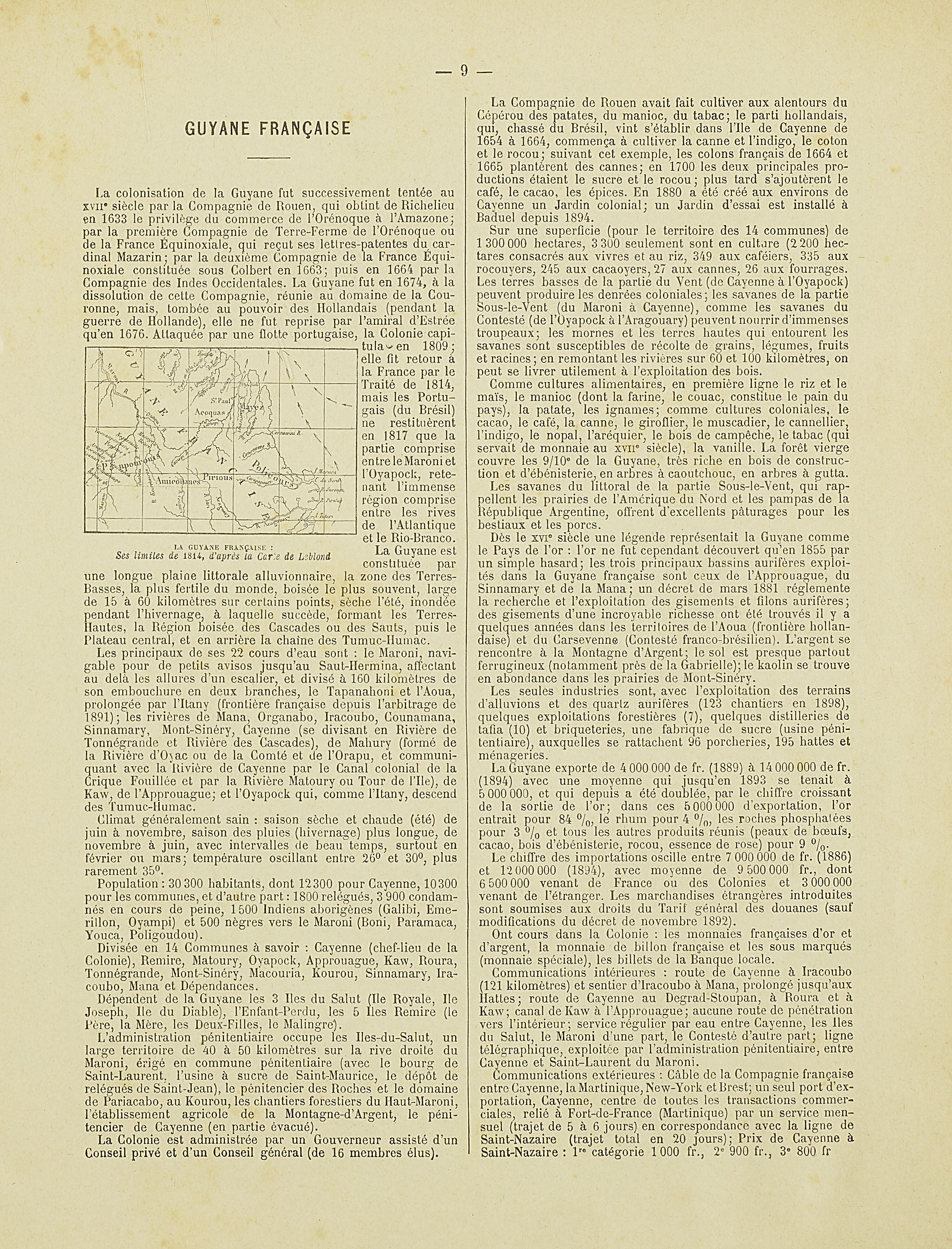
La Guyane française : Ses limited de 1814, d'après la carte de Leblond.
Map 1814