Dispossesions in the Americas

Dispossesions in the Americas

  • Home
  • Explore
  • About
  • Authors
  • Art
  • Bodies
  • Curricula
  • Cultural Heritage
  • Maps
  • Territories
Back to Explore
Map 1683 - 1685

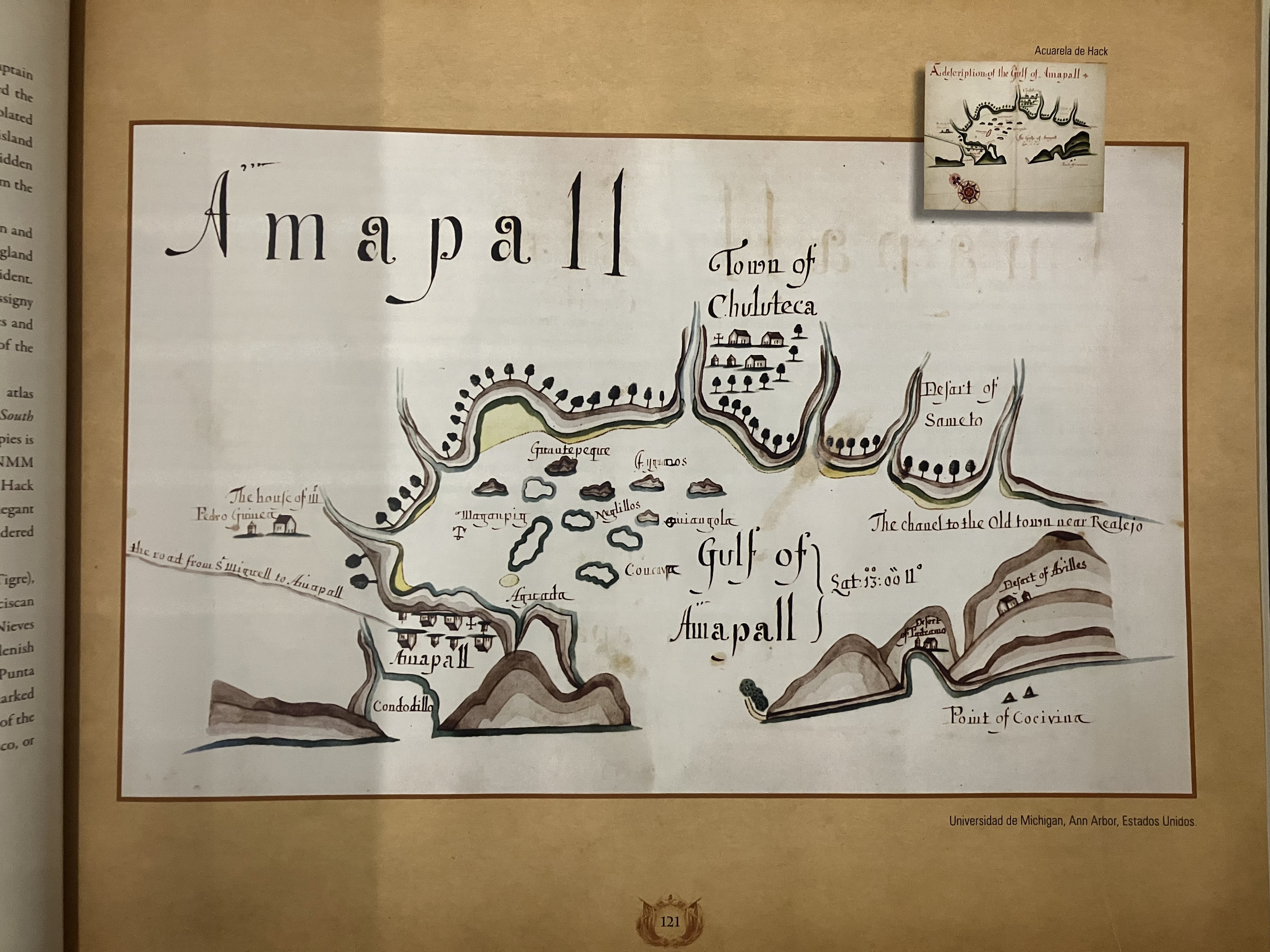
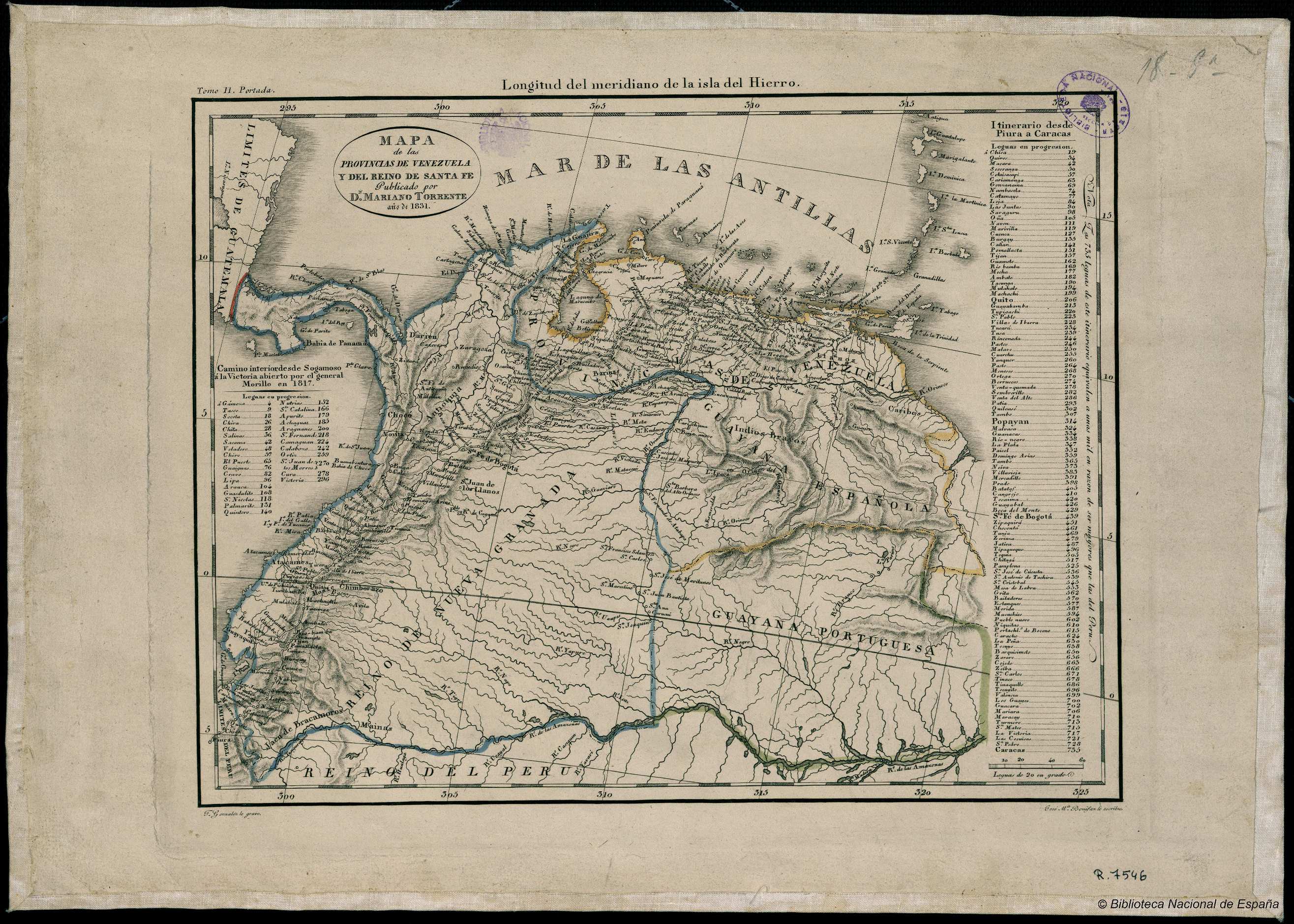
Gulf of Amapall

  • HACK, WILLIAM

Published: 1683-1685

  • Download Image

Citation

Hack, William. "Gulf of Amapall" in A Wagoner of the South Sea describing the sea coast from Acapulco to Albernarle Isle."1683-1685. National Maritime Museum, Greenwich UK Ms Atlas P/33. IN Atlas Historico y Cartografico de El Salvador 1529-1909. Centro de Nacional de Registros.
  • Download Image

Reading in Spanish

Map 1683 - 1685

Gulf of Amapall

  • HACK, WILLIAM

Published: 1683-1685

  • Download Image
  • Download Image

Related Content

GOVERNMENT OF CARACAS;WITH GUIANA.

GOVERNMENT OF CARACAS;WITH GUIANA.

Map 1812
MAPA DE LA RELACION GEOGRÁFICA DE AMOLTEPEC

MAPA DE LA RELACION GEOGRÁFICA DE AMOLTEPEC

Map 1580
Map of Mapuche Land Dispossession for Chilean and German Settlers

Map of Mapuche Land Dispossession for Chilean and German Settlers

Map 1911 - 1952
THE AYMARA POLITY OF THE LUPAQA: EASTERN INTER-ANDEAN VALLEY COLONIES UNDER INCA RULE 16TH CENTURY

THE AYMARA POLITY OF THE LUPAQA: EASTERN INTER-ANDEAN VALLEY COLONIES UNDER INCA RULE 16TH CENTURY

Map 1560 - 1567
LA TERRA FERMA LA GUJANA Spagnola;Olandese;Frances;E. Portughese E La Parte Settentr le Del Bresil

LA TERRA FERMA LA GUJANA Spagnola;Olandese;Frances;E. Portughese E La Parte Settentr le Del Bresil

Map 1785
MAPA Geográfico DE AMERICA MERIDIONAL

MAPA Geográfico DE AMERICA MERIDIONAL

Map 1775
A draft of the Golden and adjacent islands

A draft of the Golden and adjacent islands

Map 1688
A PROVINCIA do PARANÁ. CARTA CHOROGRAFICA

A PROVINCIA do PARANÁ. CARTA CHOROGRAFICA

Map 1866

Dispossessions in the Americas

A project by

University of Pennsylvania

Copyright 2024

With support from

Mellon Foundation

Site design & development

Element 84

Art Credits

Hack, William. “Gulf of Amapall” in A Wagoner of the South Sea describing the sea coast from Acapulco to Albernarle Isle.“1683-1685. National Maritime Museum, Greenwich UK Ms Atlas P/33. IN Atlas Historico y Cartografico de El Salvador 1529-1909. Centro de Nacional de Registros.
Site Pages

  • Home
  • Explore
  • About
  • Authors
  • Art
  • Bodies
  • Curricula
  • Cultural Heritage
  • Maps
  • Territories