Peoples
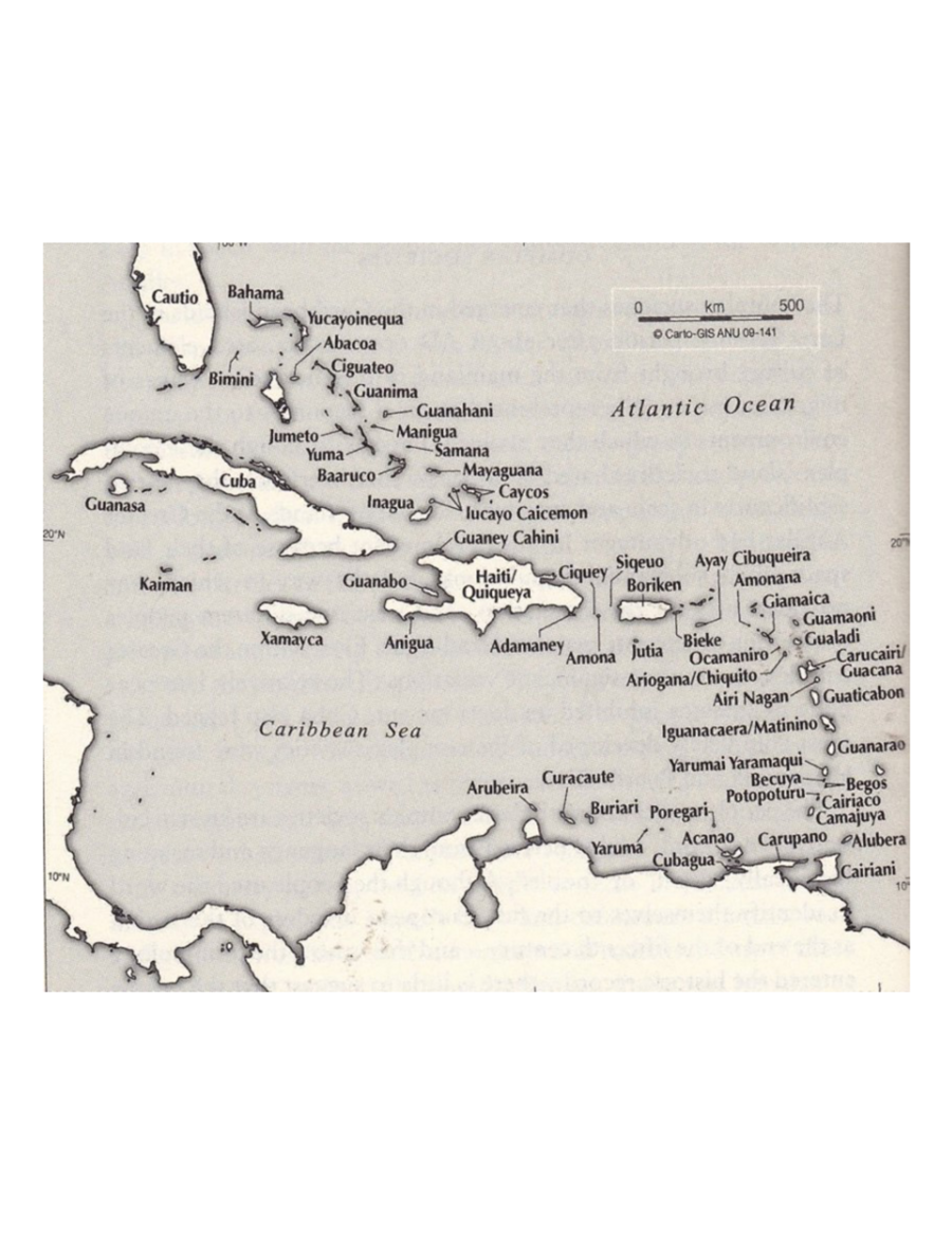
- TAINO
Citation
"Taino Names of the Caribbean Islands." Map. The Decolonial Atlas. February 2, 2015. Accessed March 31, 2021. https://decolonialatlas.wordpress.com/2015/02/02/taino-names-of-the-caribbean-islands/.
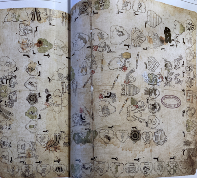
The Boundaries of Cuauhtinchan and Totomihuacan, Historia Tolteca-Chichimeca, pp. 1-2
Map 1560![Libro para visitas para Seropositivo [Guestbook for Seropositive]](https://dnet8ble6lm7w.cloudfront.net/art_sm/ACOL010.png)
Libro para visitas para Seropositivo [Guestbook for Seropositive]
Artwork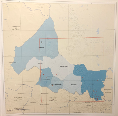
INTENDENCIA DE SAN LUIS POTOSÍ
Map 1800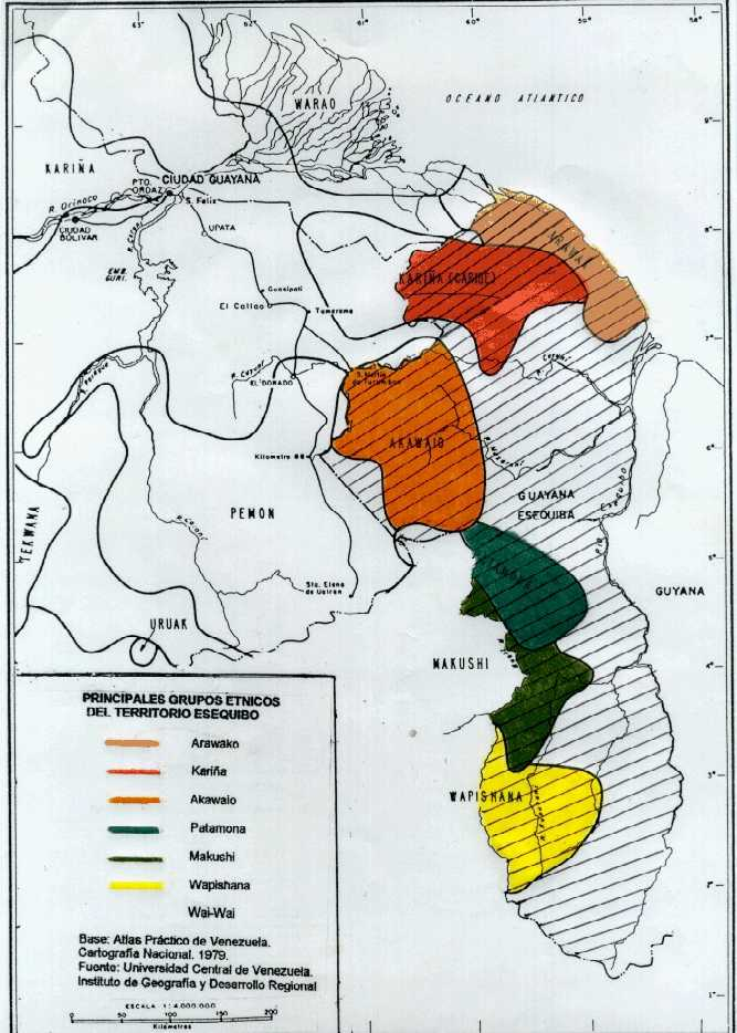
PRINCIPALES GRUPOS ÉTNICOS DEL TERRITORIO ESEQUIBO
Map 1979
Area de las Poblaciones Lipez en Ollague antes de la Reduccion de 1602.
Map 1601
Mapa de la Provincia de Buenos Aires
Map 1874
A Description of the Plantations in the Valley of Paneca
Map
PROVINCIE DELLO SPIRITO SANTO E DI PORTO SICURO
Map 1600 - 1699