Citation
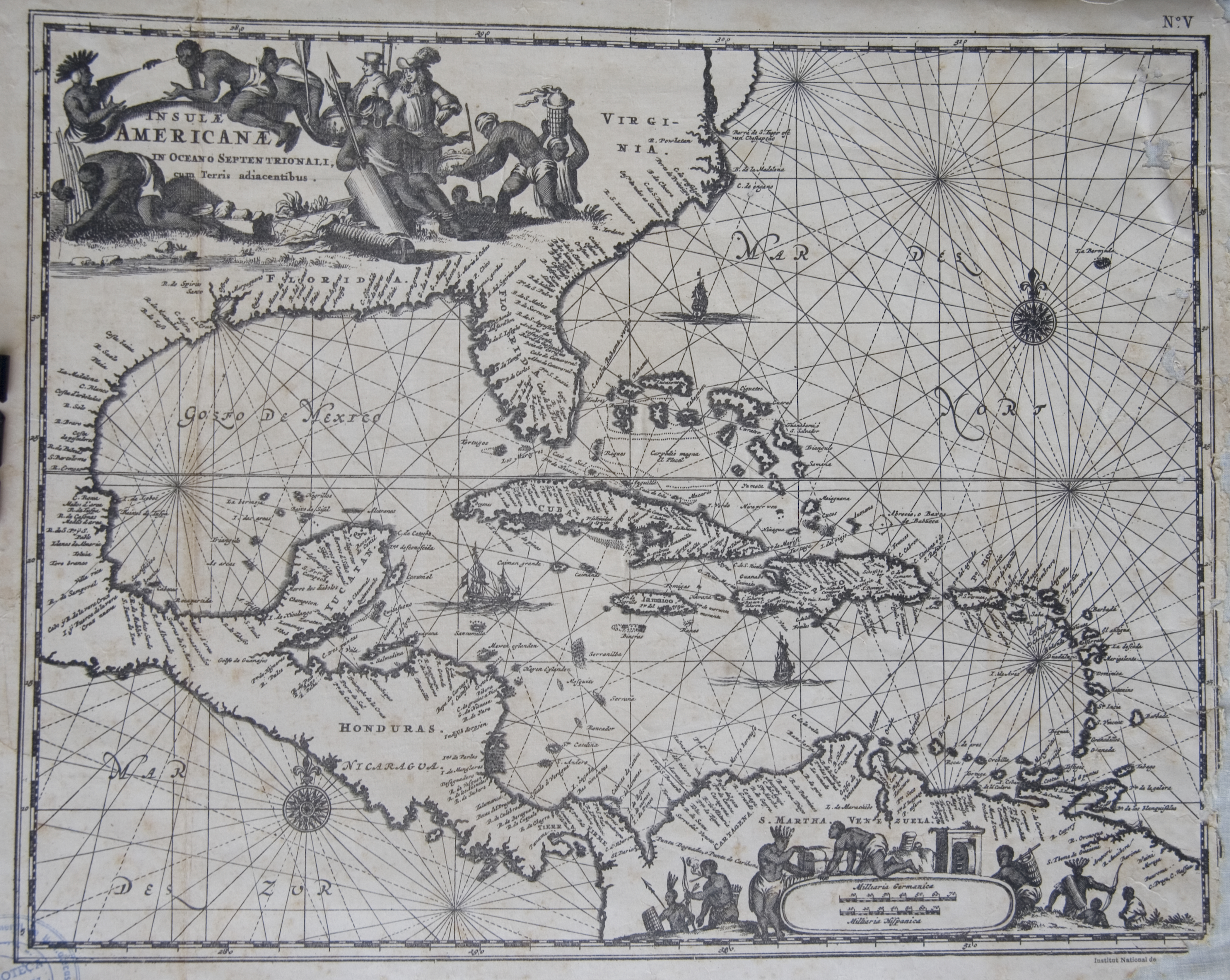
Unknowned. Islas Antillas y costas de Tierra Firme. Map. Amsterdam, 1610. Atlas Histórico Geográfico de La República de Costa Rica. Sistema Nacional de Bibliotecas de Costa Rica. https://www.sinabi.go.cr/biblioteca%20digital/mapas/atlas%20historico%20geografico/atlas_historico/atlas_%20II.aspx