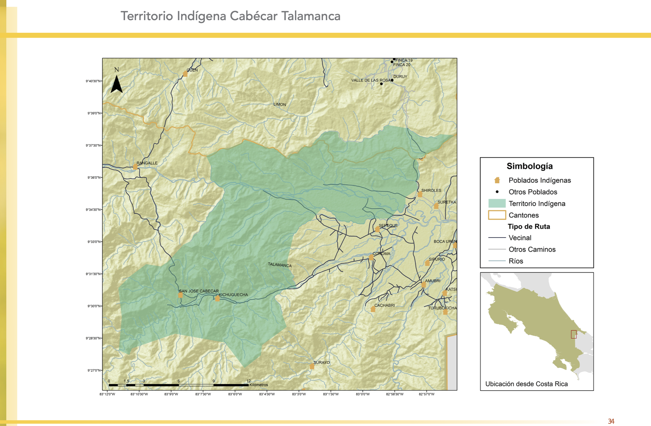
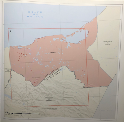
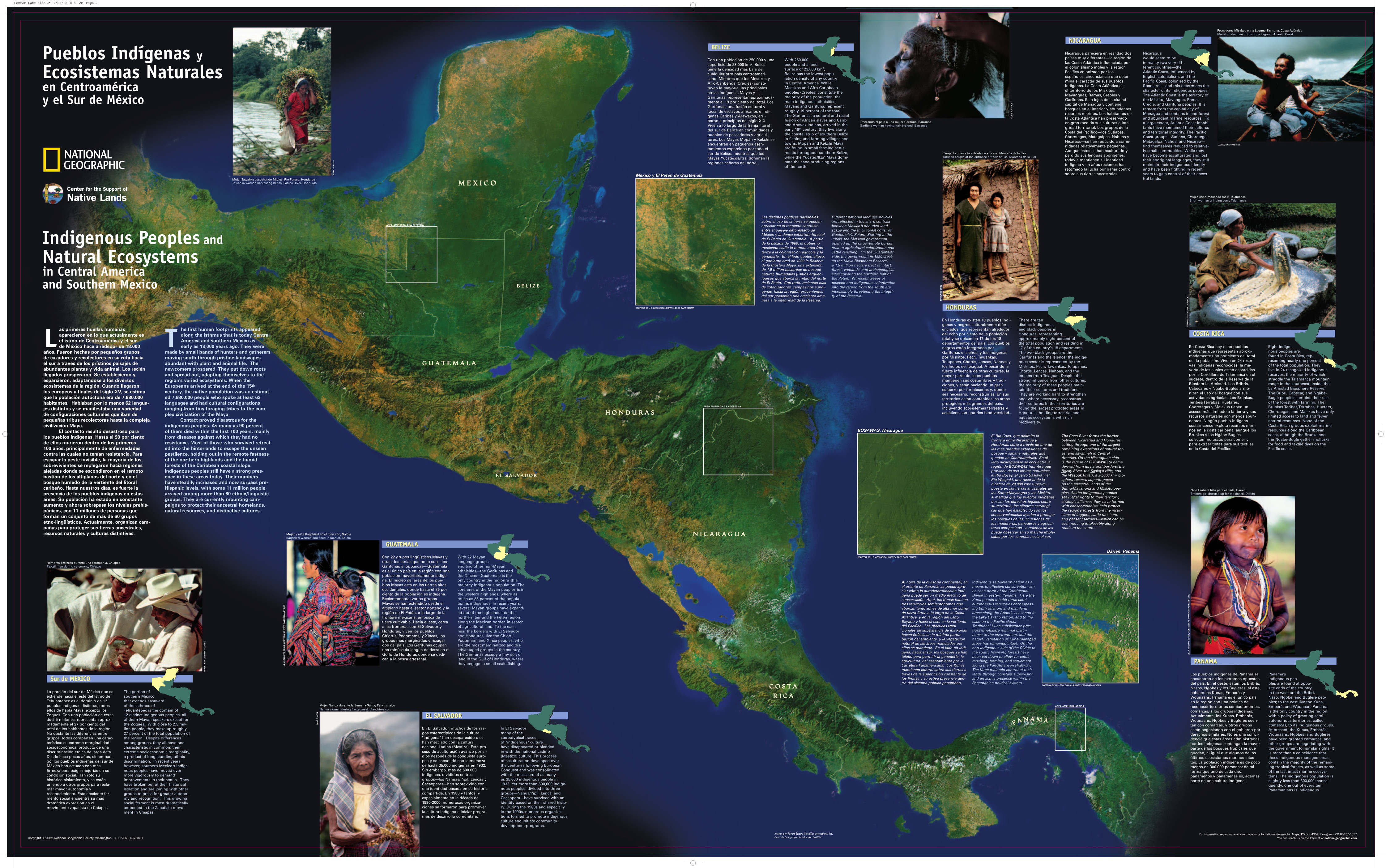
Peoples
- CABECAR TALAMANCA
Citation
Gómez Meléndez, Agustín, Felipe González Evora, Heiddys García, Marco Espinoza, and Fabián Solano Monge. Atlas de territorios indígenas--Universidad de Costa Rica. Costa Rica: Universidad de Costa Rica, 2014. https://hdl.handle.net/10669/15097

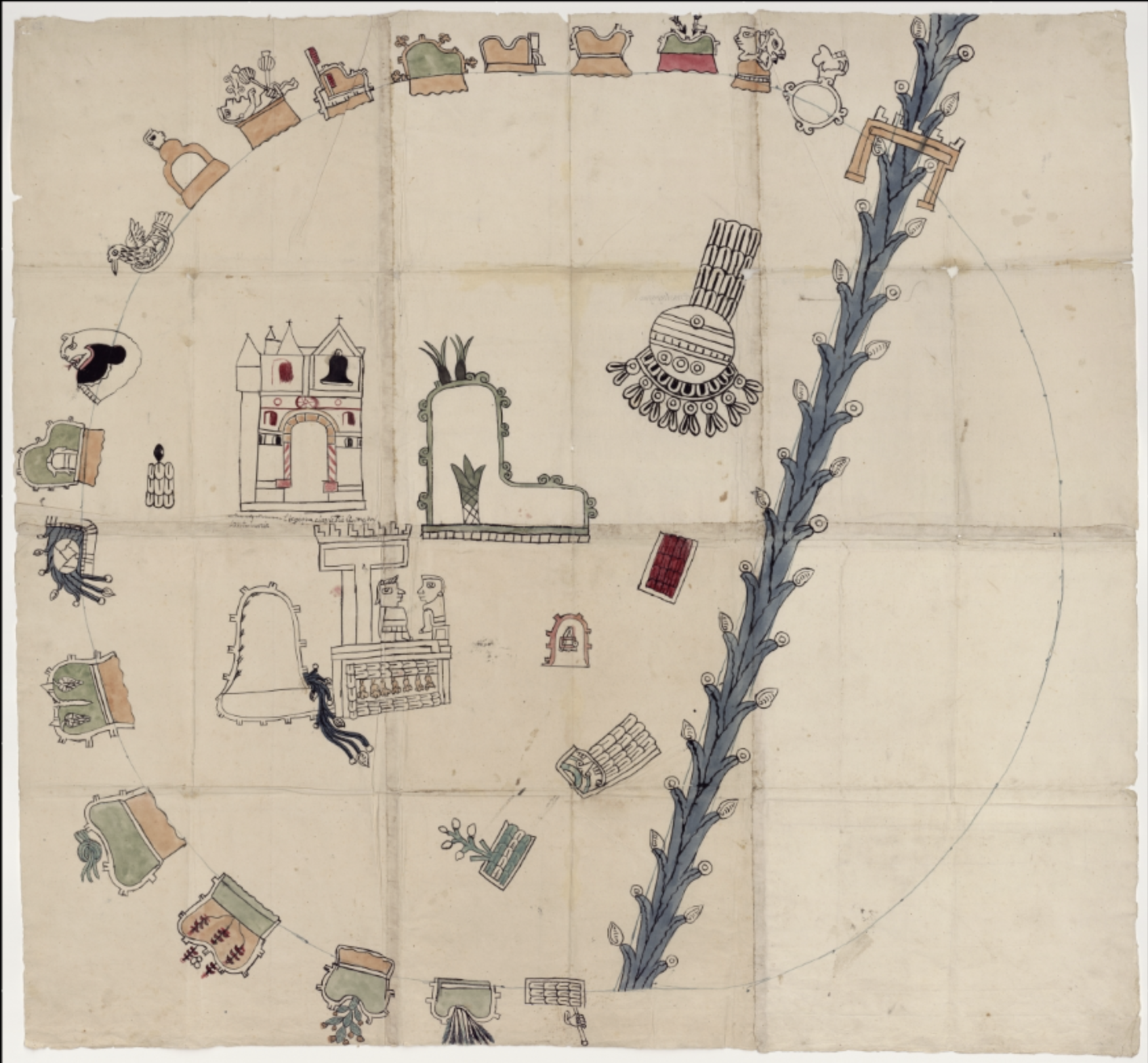
![Lo que el progreso nos dejó [What Progress Left Us]](https://dnet8ble6lm7w.cloudfront.net/art_sm/APER093.png)