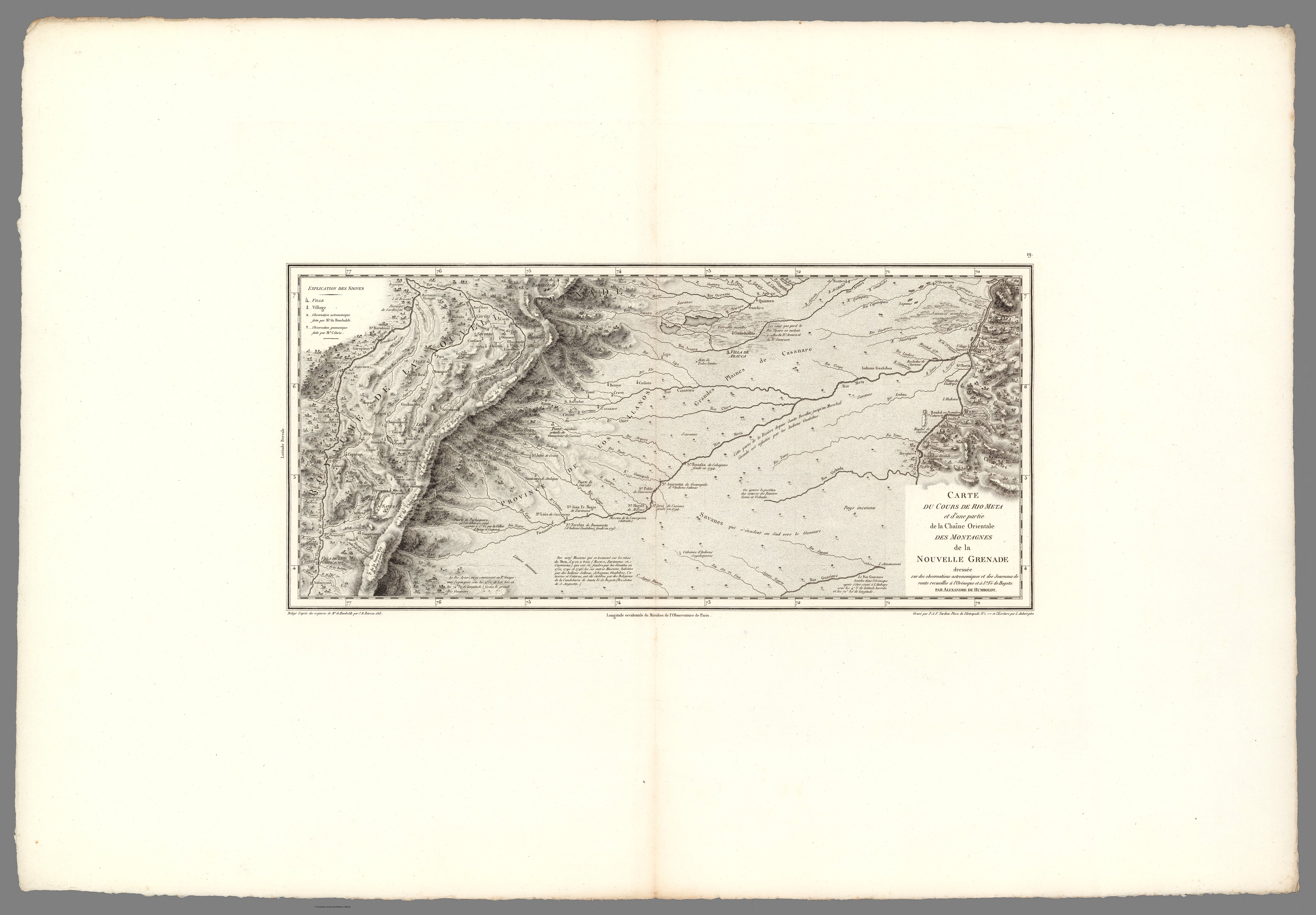
Peoples
- ACHAGUAS
- CABERRES
- CATARAS
- GUAHIBOS
- MACOS
- MAYPURES
- OTOMACOS
- PANCHES
- PIRANOAS
- SAGIDAQUERES
- SALIVAS
- YARUROS
Citation
Voyage de MM. Alexandre de Humboldt et Aime Bonpland. Atlas Geographique et Physique, pour Accompagner la Relation Historique. Sixieme livraison. Paris, J. Smith, Rue Montmorency, No. 16;Londres, Dulau et Compie., Soho-Square. 1831. Imprimerie de J. Smith. https://www.davidrumsey.com/luna/servlet/detail/RUMSEY~8~1~292867~90064422:XIX--Cours-du-Rio-Meta-et-d-une-par?sort=Pub_List_No_InitialSort&qvq=q:colombia;sort:Pub_List_No_InitialSort;lc:RUMSEY~8~1&mi=204&trs=457#
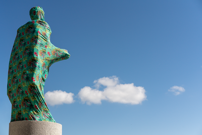
![Mi vida, tu vida [My Life, Your Life]](https://dnet8ble6lm7w.cloudfront.net/art/ACOL027.jpg)