Peoples
- YNDIOS
Citation
"Plano de las tierras del Convento de Predicadores del Valle del Santo Ecce Homo, parroquia del Cocuy." 1822. Archivo General de la Nación de Colombia. http://190.71.140.50/view/4313.AccessedApril22,2022
Mapa topográfico del Obispado de Truxillo del Perú. Construido por su actual Obispo en la visita general personal que acava de hacer en dicho obispado, quien lo dedica al Señor Dn. Carlos Tercero, Rey Católico de las Españas y Augusto emperador y verdadero padre de sus Américas ;y delineado por Dn. Josef Clemente de Castillo ;Baltasar Jaime, Obispo de Truxillo
Map 1782 - 1785
THE CARACAS
Map 1810
San Miguel
Map 1997
THE CARIBBEE ISLANDS AND GUAYANA DRAWN BY L. DELAROCHETTE
Map 1776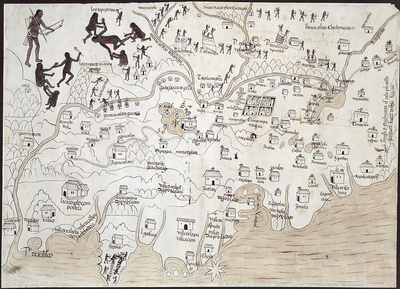
MAPA DE LA NUEVA GALICIA
Map 1550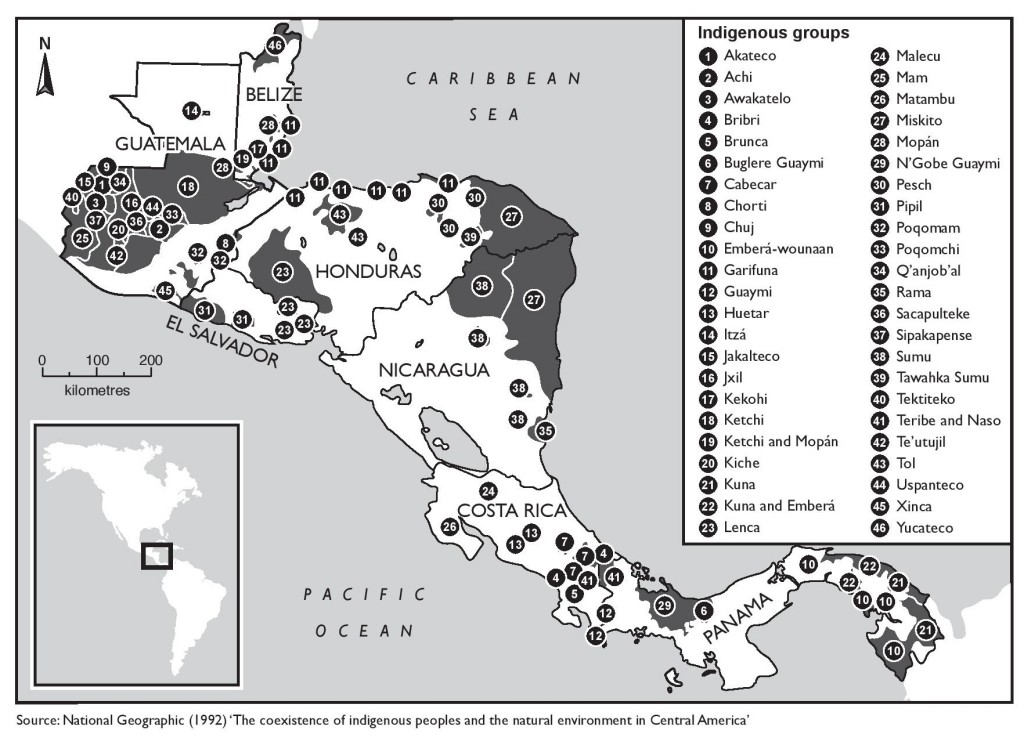
The coexistence of indigenous peoples and the natural environment in Central America
Map 1900 - 1999![Seropositivo - No positivo [Not Positive]](https://dnet8ble6lm7w.cloudfront.net/art_sm/ACOL031.png)
Seropositivo - No positivo [Not Positive]
Artwork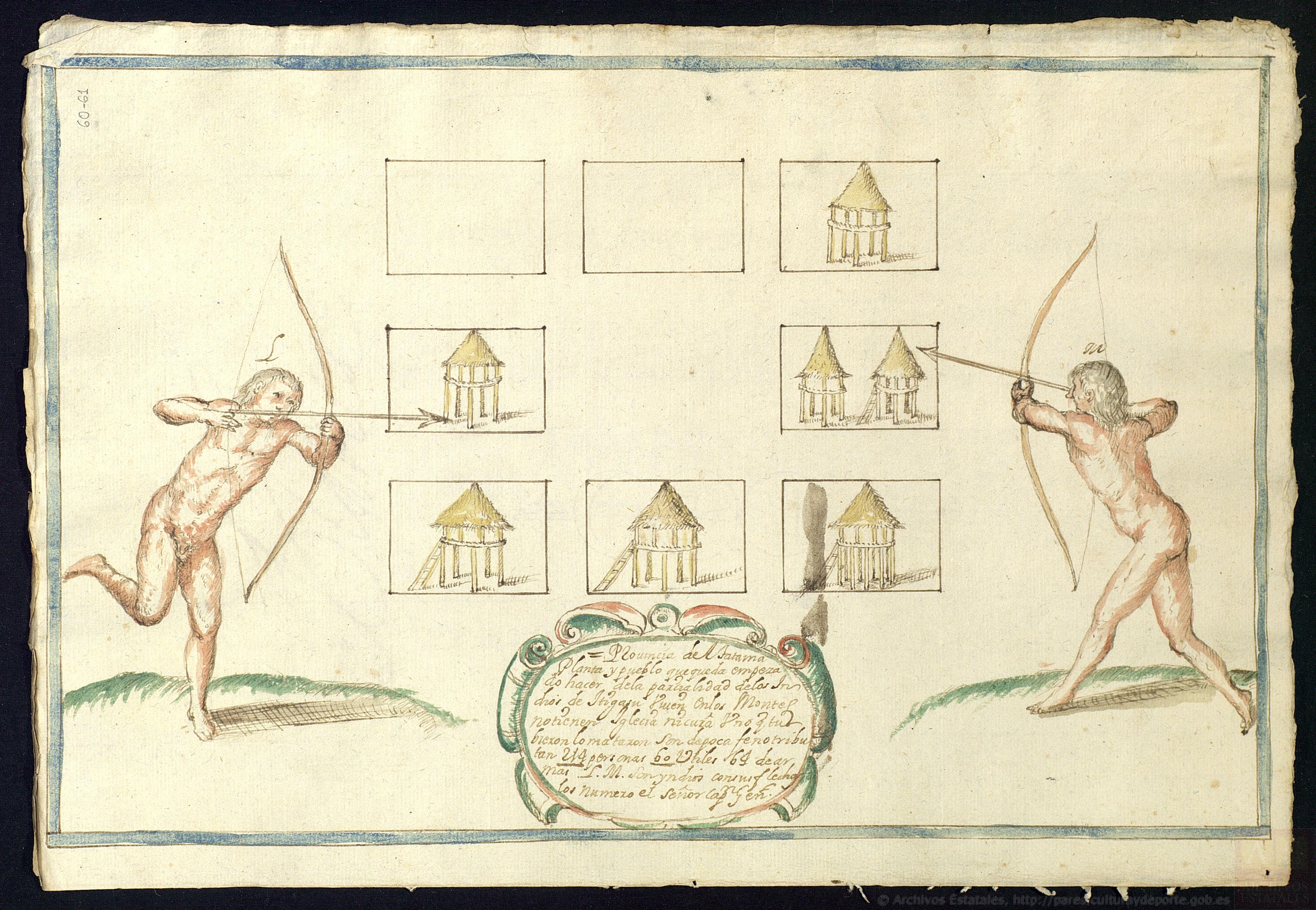
Provincia de Tatama: Planta y pueblo que queda empezado hacer de la parcialidad de los indios de Itigasu
Map 1687