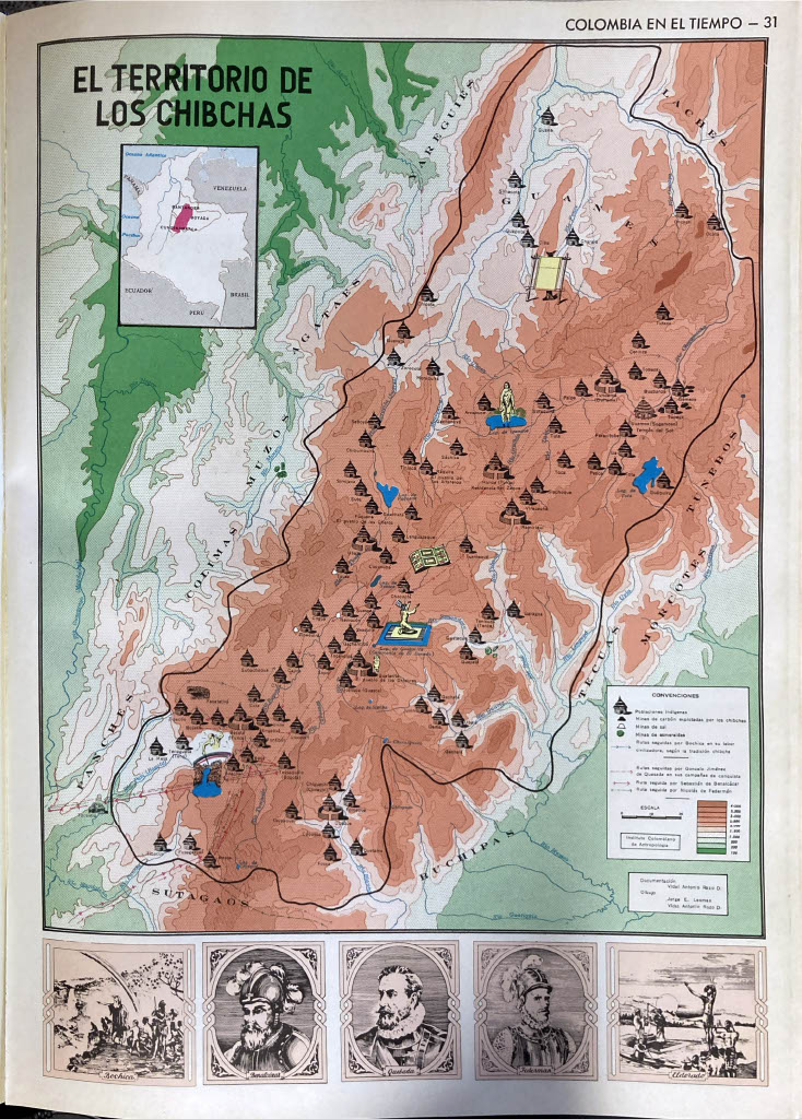
Peoples
- AGATAES
- BUCHIPAS
- COLIMAS
- GUANES
- LACHES
- MORCOTES
- MUISCA
- MUZOS
- PANCHES
- SUTAGAOS
- TECUAS
- YARIGUIES
Citation
Acevedo Latorre, Eduardo. Atlas de Colombia. Bogotá: Instituto Geográfico Agustín Codazzi, 1969, p. 31.
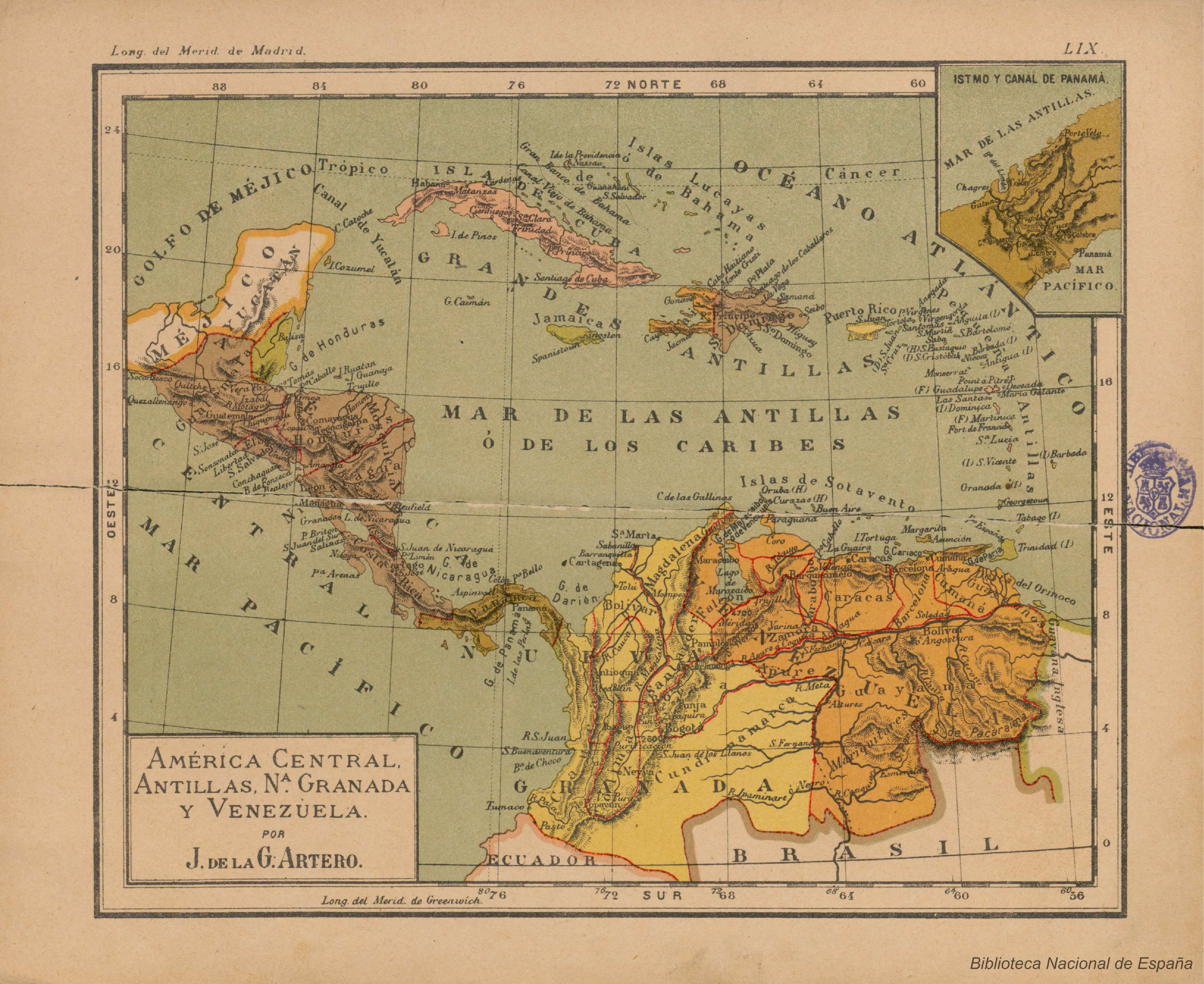
América central;Antillas;Nª Granada y Venezuela
Map 1911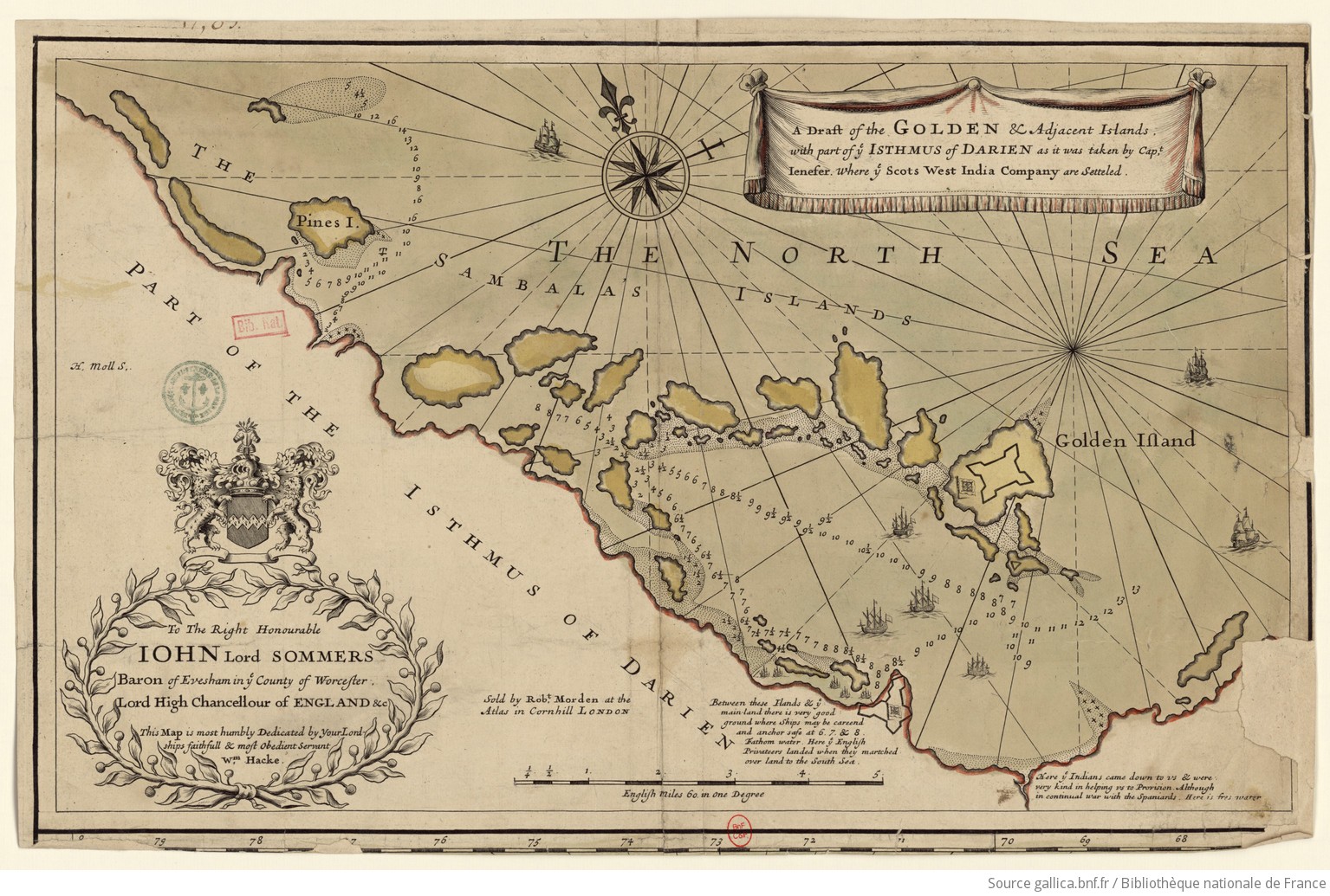
A draft of the Golden and adjacent islands
Map 1688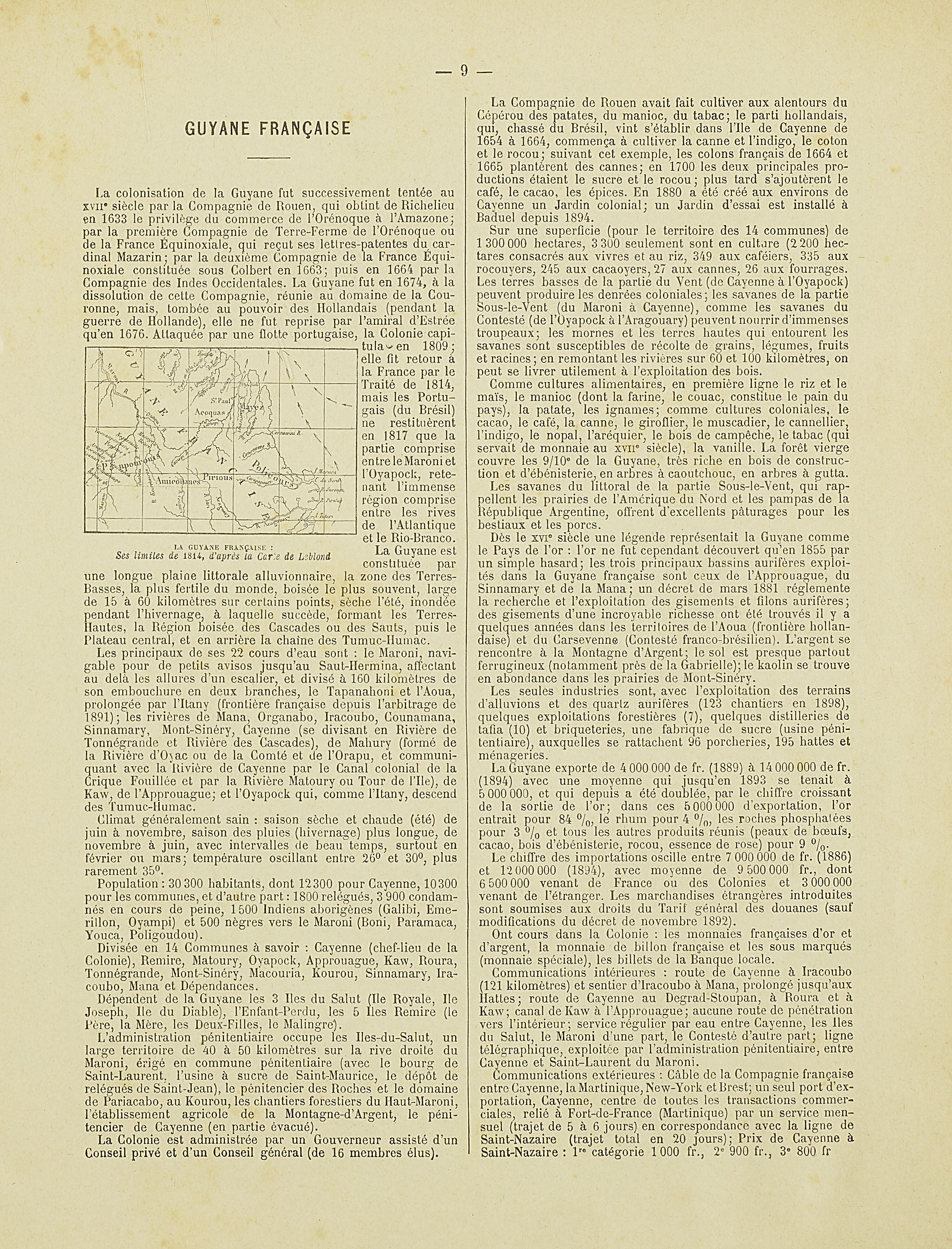
La Guyane française : Ses limited de 1814, d'après la carte de Leblond.
Map 1814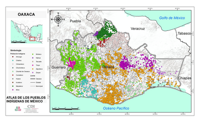
OAXACA
Map 2015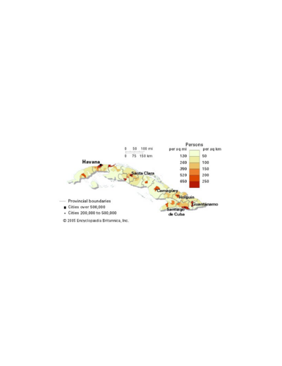
Population density of Cuba
Map -4000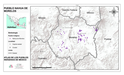
PUEBLO NAHUA DE MORELOS
Map 2020![“O beijo” [The Kiss]](https://dnet8ble6lm7w.cloudfront.net/art/ABRA026.jpg)
“O beijo” [The Kiss]
Artwork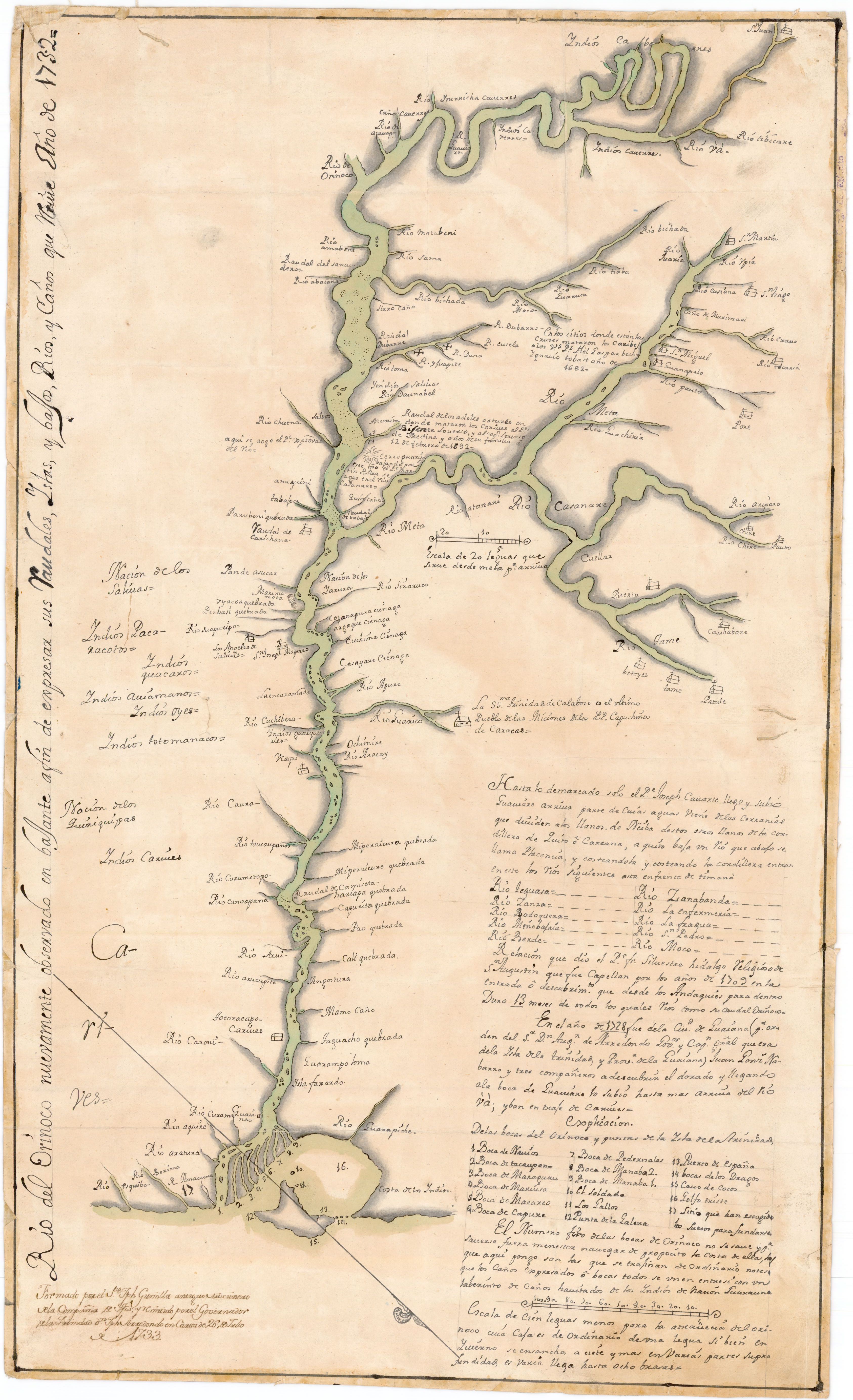
Río del Orinoco nuevamente observado en bajante a fin de expresar sus Caudales;Yslas y bajos;Rios y Caños que tiene
Map 1732