Peoples- BOTABIRAES
- CHILOMAS
- CHANCOS
- CHOCO
- CIRAMBIRAES
- GUERBAROS
- EBIRAES
- ERIPIDES
- MORIRAMAES
- NOANANAS
- OROCUBIRAES
- PERRES
- YACOS
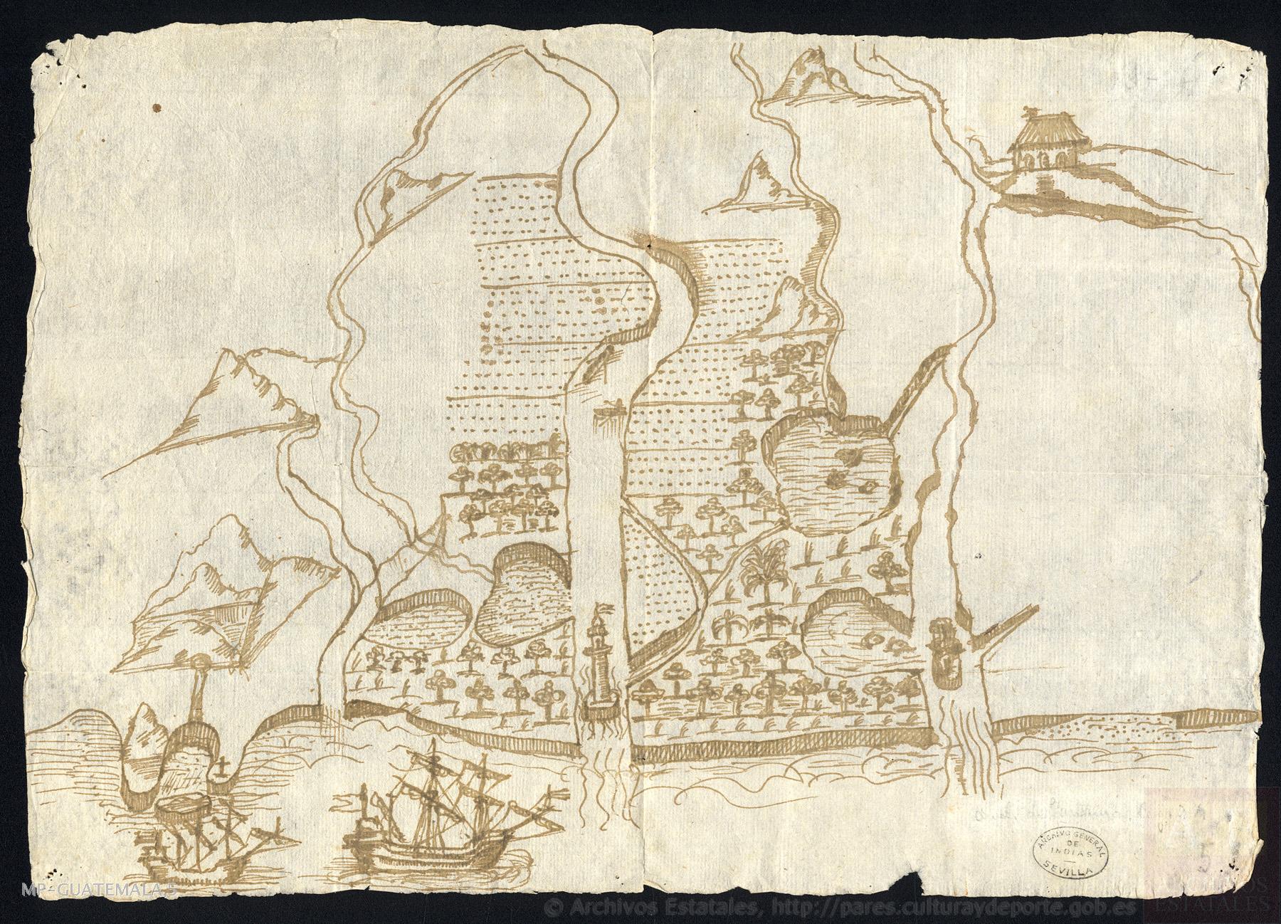
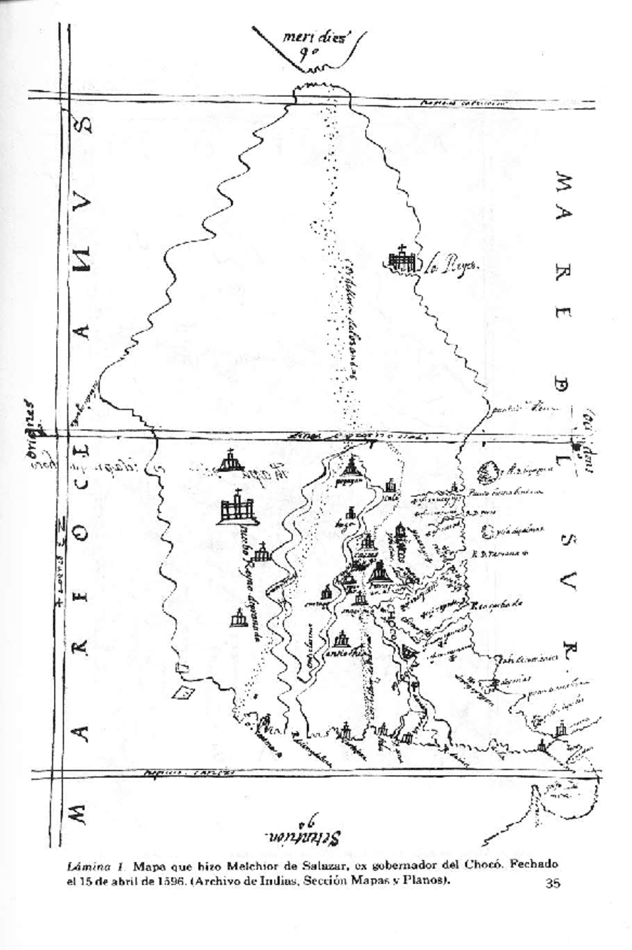
CitationRomoli, K. (1975). El Alto Chocó en el Siglo XVI. Revista Colombiana De Antropología, 19, 9–38. https://doi.org/10.22380/2539472X.1726,Laminas1-2,pp.35-36("MapaetnográficodelChocó,dibujadoporelexgobemadorMelchiordeSalazaren1596."PapelesdeMelchiordeSalazar.A.G.l.,AudienciaSantafé,Legajo30,fols.48a49,MapasyPlanos,Panamá329,Sevilla,España.)
Romoli, K. (1975). El Alto Chocó en el Siglo XVI. Revista Colombiana De Antropología, 19, 9–38. https://doi.org/10.22380/2539472X.1726,Laminas1-2,pp.35-36("MapaetnográficodelChocó,dibujadoporelexgobemadorMelchiordeSalazaren1596."PapelesdeMelchiordeSalazar.A.G.l.,AudienciaSantafé,Legajo30,fols.48a49,MapasyPlanos,Panamá329,Sevilla,España.)