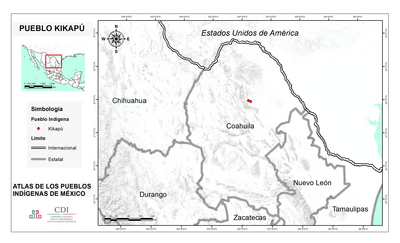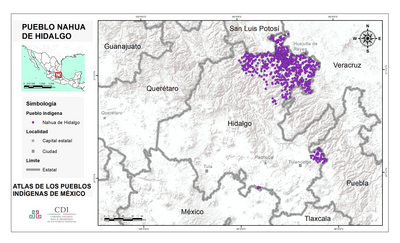
Peoples
- ABIPONAS
- AMAHUACAS
- ANNAPUS
- ARINAGOTO
- AROAQUIS
- AUCAS
- BACCAHYRIS
- BOROROS
- BOTOEUDOS
- CABAHYBAS
- CABYXYS
- CANRACANS
- CARIBEN
- CAUPOLICAN
- CAYAPOS
- CHARRUAS
- CHERENTES
- CHIQUITOS
- CHONOS
- CHUPILTAS
- GAMELLAS
- GOYAZ
- GUANAS
- GUAPINDAYAS
- GUARANIS
- GUATOS
- GUAYANAS
- GUAYCURUS
- IGUARANAS
- KIRIKIRISKOTAS
- LENGUNAS
- MACUSI
- MARUNS
- MATAGUAYOS
- MAUHES
- MAYONGKONG
- MAYORUNAS
- MAYPURES
- MBAYAS
- MOLU-CHES
- MOXOS
- MURAS
- NALICUEGAS
- OMAGUAS
- OTOMACOS
- OYAMPAS
- PATACHOS
- PAUISCHANAS
- PAYAGUAS
- PEHUENCHES
- PIAUHYPIROS
- PUEL-CHES
- PURIS
- TACAHUNAS
- TEHUEL-HETS
- URURUCUNIS
- TOBAS
- WAIKA
- WARRAU
- XUMANAS
- XARAYES
Citation
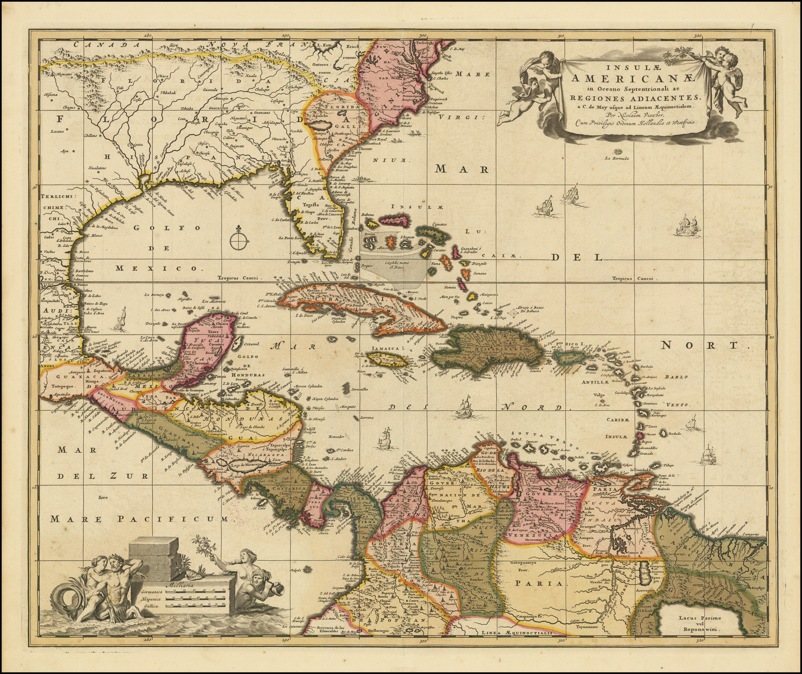
Kiepert, Heinrich, Sud America. David Rumsay Map Collection. 1855. Accessed, August 4, 2023. https://www.davidrumsey.com/luna/servlet/detail/RUMSEY~8~1~24796~960007