Dispossesions in the Americas

Dispossesions in the Americas

  • Home
  • Explore
  • About
  • Authors
  • Art
  • Bodies
  • Curricula
  • Cultural Heritage
  • Maps
  • Territories
Back to Explore
Map 1700 - 1799

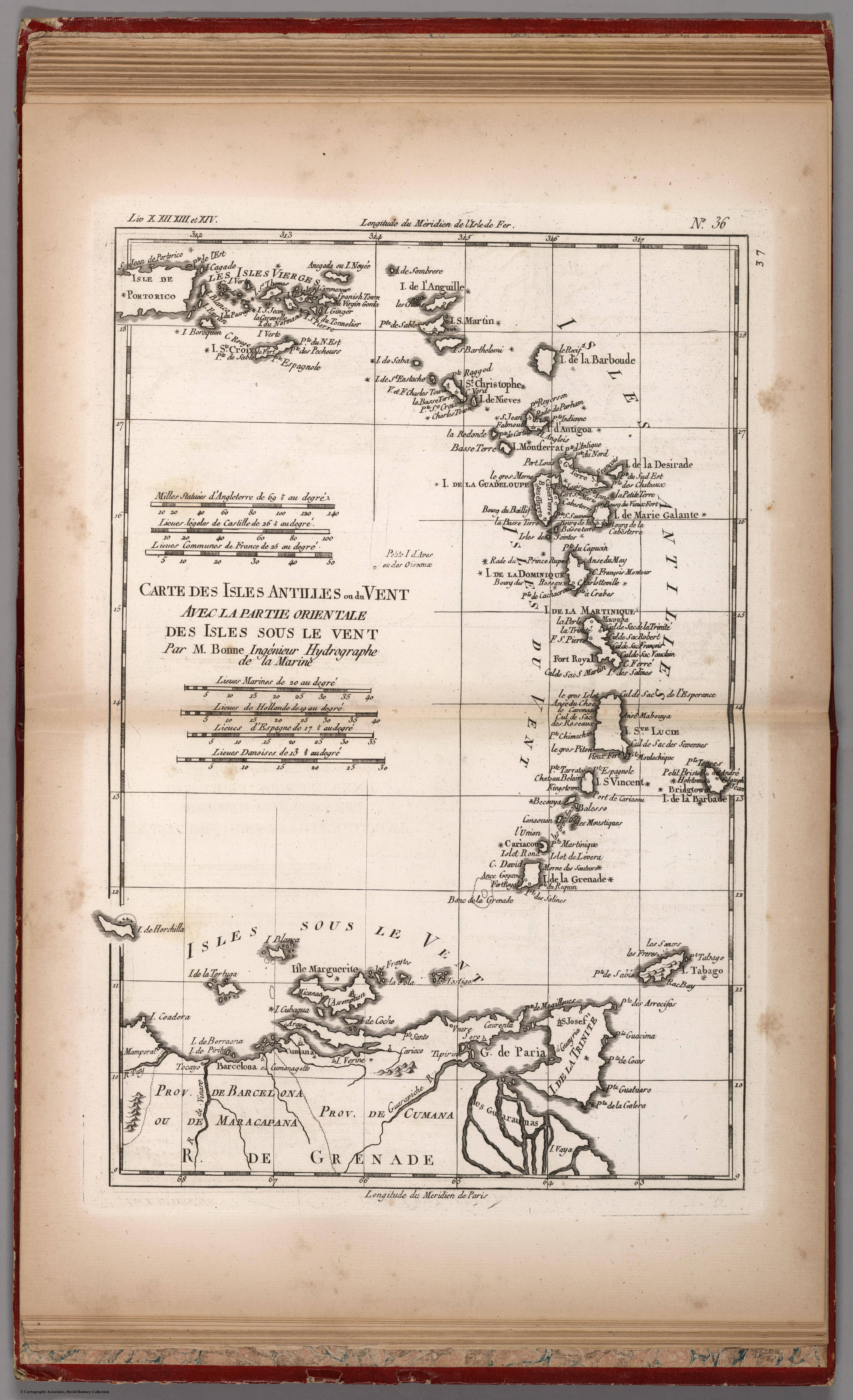
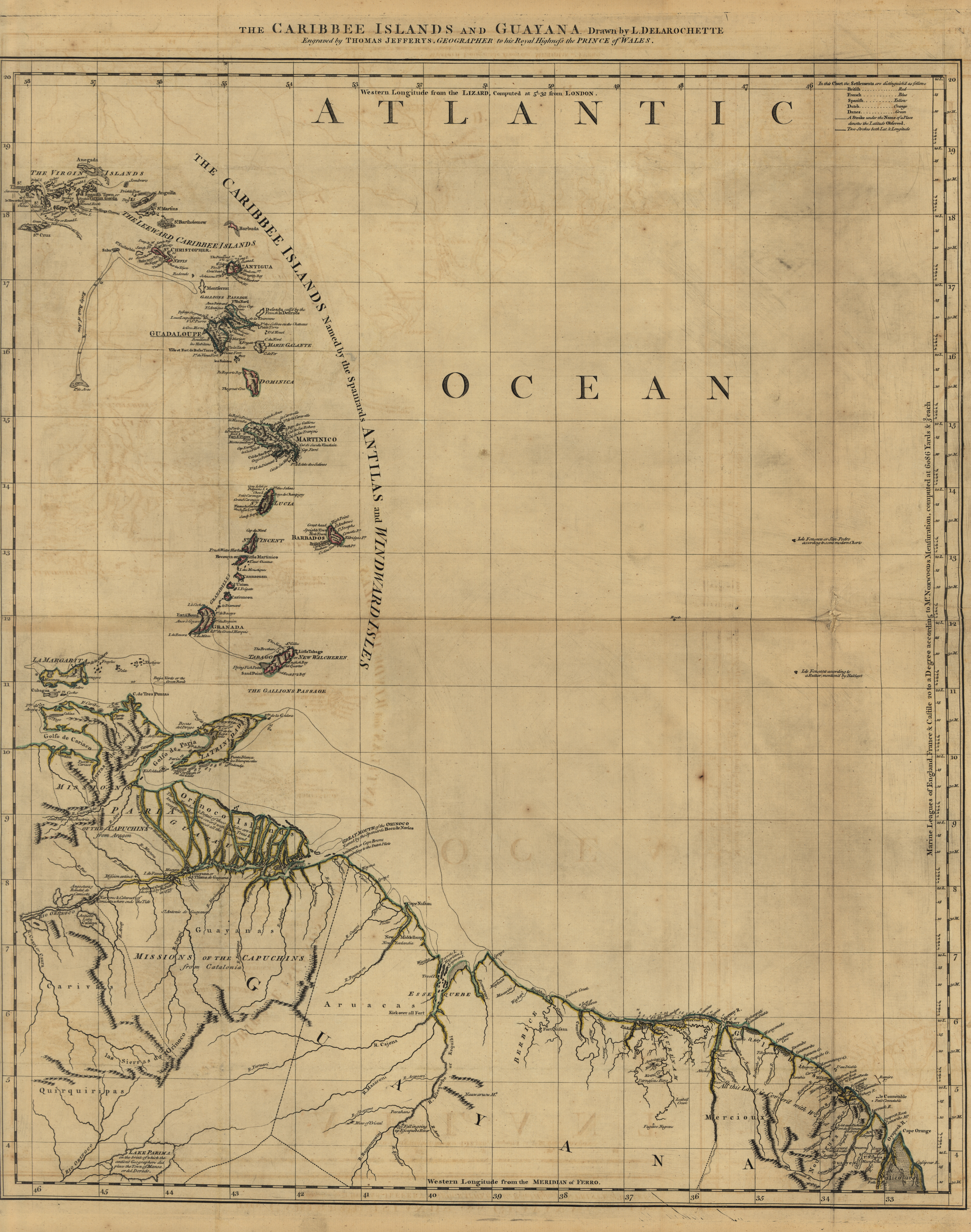
The Caribee Islands and Guyana.

  • Delarochette, L.;Jefferys, Thomas

Published: 1769

  • Download Image

Peoples

  • ARUACAS
  • CARIVAS
  • GALIBIS
  • GUARAUNOS
  • GUAYANAS
  • MERCIOUX
  • NOURAGUES
  • OUAYES
  • PALICOURS
  • QUIRQUIRIPAS

Citation

Delarochette, L., Jefferys, Thomas. The Caribee Islands and Guyana. Library of Congress. Accessed, August 3, 2023. https://www.loc.gov/resource/g3300m.gar00003/?sp=102&r=0.186,-0.019,0.645,0.328,0
  • Download Image

Reading in Spanish

Map 1700 - 1799

The Caribee Islands and Guyana.

  • Delarochette, L.;Jefferys, Thomas

Published: 1769

  • Download Image
  • Download Image

Related Content

Lengua wichí. Dónde se habla

Lengua wichí. Dónde se habla

Map 2009
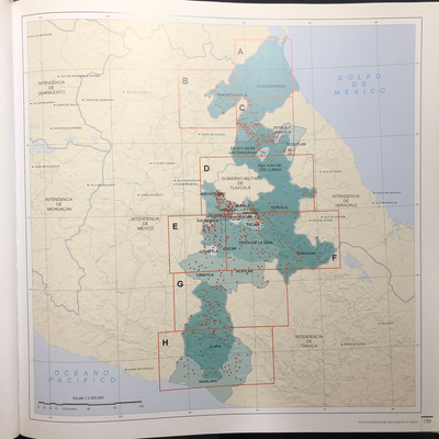
QUERÉTARO

QUERÉTARO

Map 2015
Tabula Geographica nova Omnium oculis exibens et proponens Venssimam descriptionem potentissimi et aurifen Regni Guiana Sub linea aequinoctiuli iner Brasiliam et eru Situ per nautam aliquem qui Gualthero Ralegh navigatione Semper Adsuit delineata

Tabula Geographica nova Omnium oculis exibens et proponens Venssimam descriptionem potentissimi et aurifen Regni Guiana Sub linea aequinoctiuli iner Brasiliam et eru Situ per nautam aliquem qui Gualthero Ralegh navigatione Semper Adsuit delineata

Map 1594 - 1596
Railroad Map of British Honduras Transportation Department of the United States Department of Commerce. Library of Congress Geography and Map Division. https://hdl.loc.gov/loc.wdl/wdl.11329

Railroad Map of British Honduras Transportation Department of the United States Department of Commerce. Library of Congress Geography and Map Division. https://hdl.loc.gov/loc.wdl/wdl.11329

Map 1900
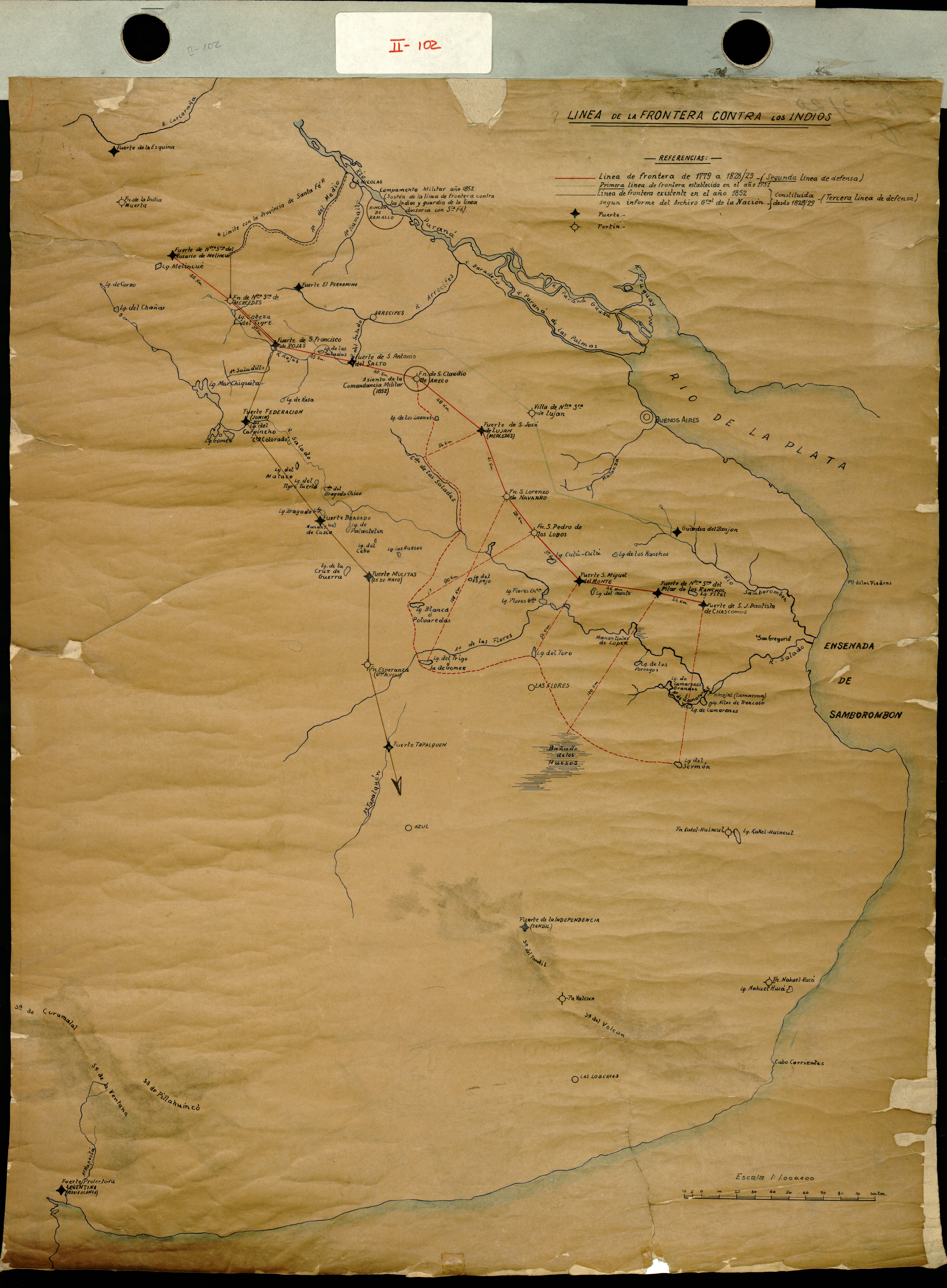
LA PLATA

LA PLATA

Map 1658
CARTE DU BRÉSIL

CARTE DU BRÉSIL

Map 1851
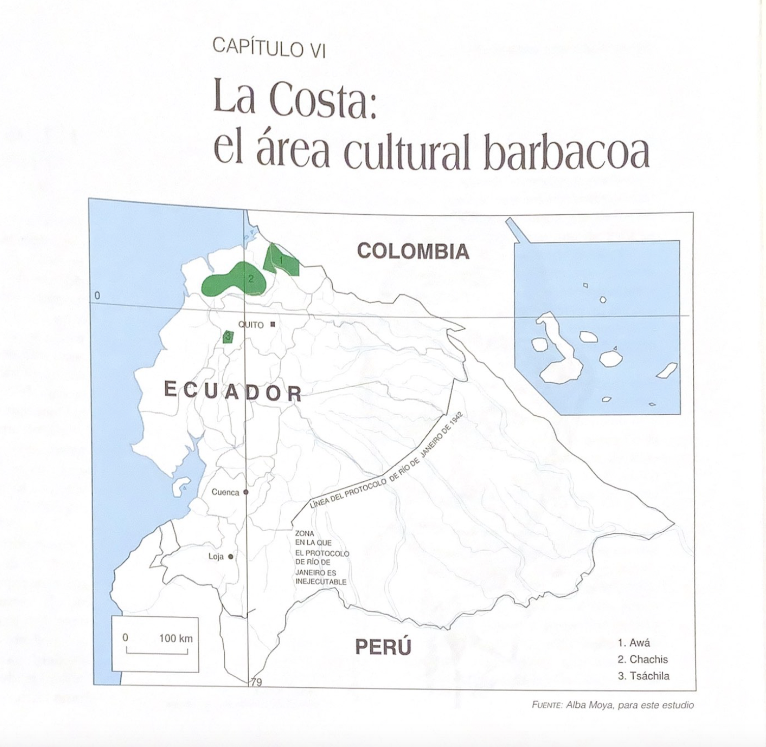
Diversidad étnica y cultural de los pueblos de América Central en el año 2000

Diversidad étnica y cultural de los pueblos de América Central en el año 2000

Map 2000
Boom Creek Village

Boom Creek Village

Map 1997

Dispossessions in the Americas

A project by

University of Pennsylvania

Copyright 2024

With support from

Mellon Foundation

Site design & development

Element 84

Art Credits

Delarochette, L., Jefferys, Thomas. The Caribee Islands and Guyana. Library of Congress. Accessed, August 3, 2023. https://www.loc.gov/resource/g3300m.gar00003/?sp=102&r=0.186,-0.019,0.645,0.328,0
Site Pages

  • Home
  • Explore
  • About
  • Authors
  • Art
  • Bodies
  • Curricula
  • Cultural Heritage
  • Maps
  • Territories