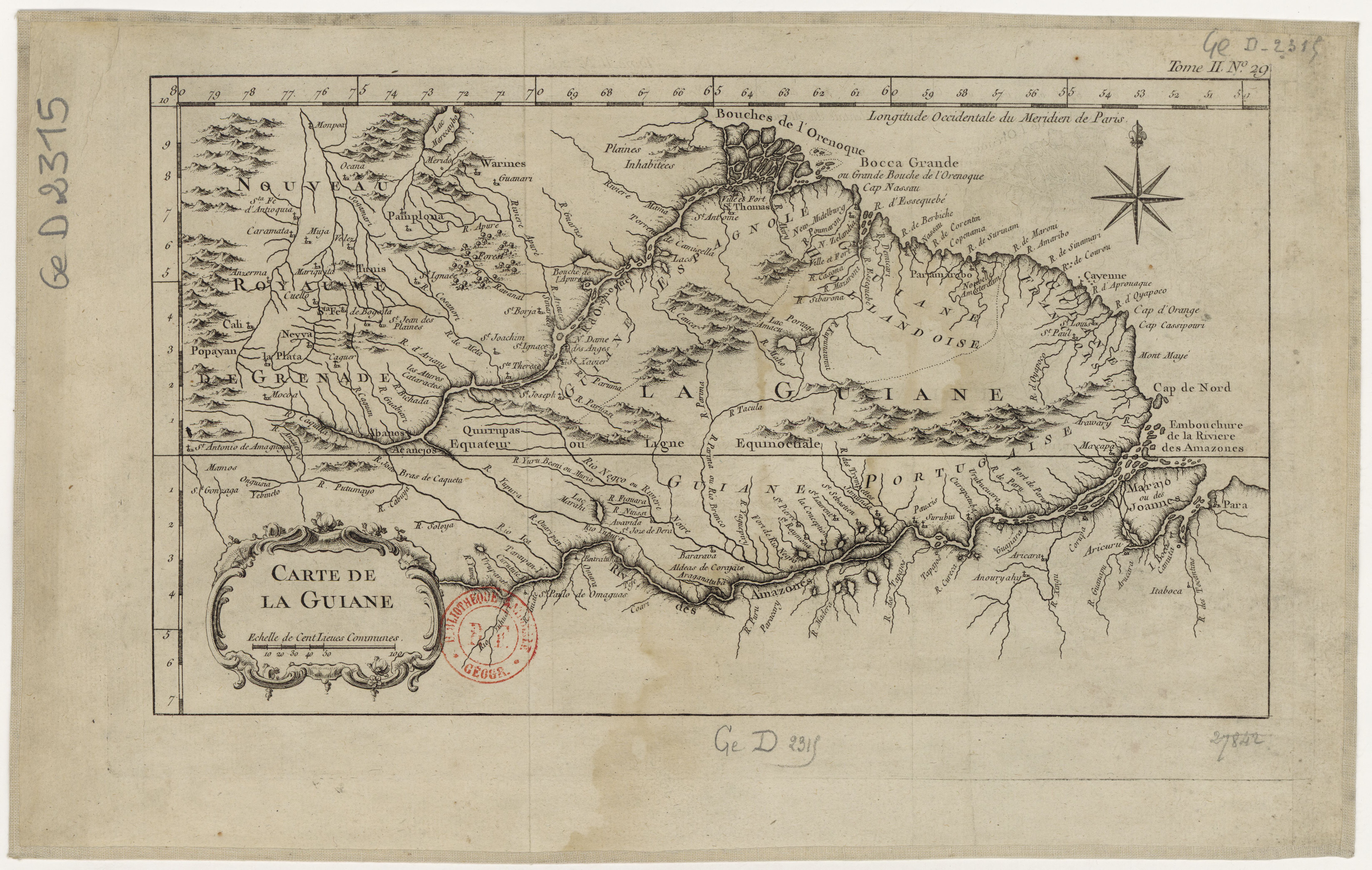
Peoples
- ABANOS
- ACANEJOS
- QUIRRUPAS
- TUNIS
- WARINES
Citation
Bellin, Jacques Nicolas, Carte de la Guiane. Gallica. Last modified: August 5, 2013. Accessed, July 21, 2023. https://gallica.bnf.fr/ark:/12148/btv1b8596766t
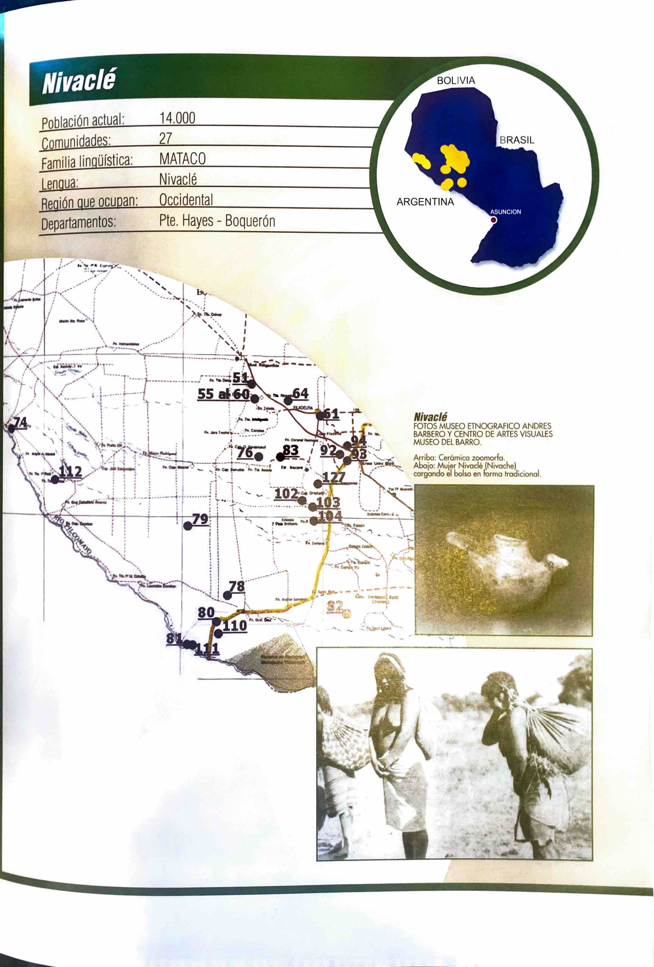
Nivaclé
Map 2001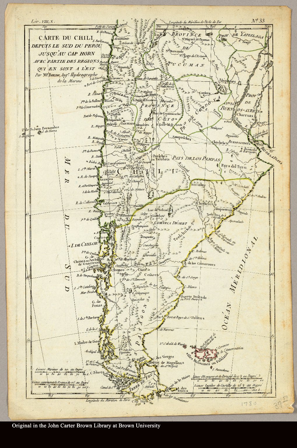
Carte du Chili depuis le sud du Perou jusqu'au Cap Horn ... par Mr. Bonne, Ingr. Hydrographe de la Marine.
Map 1780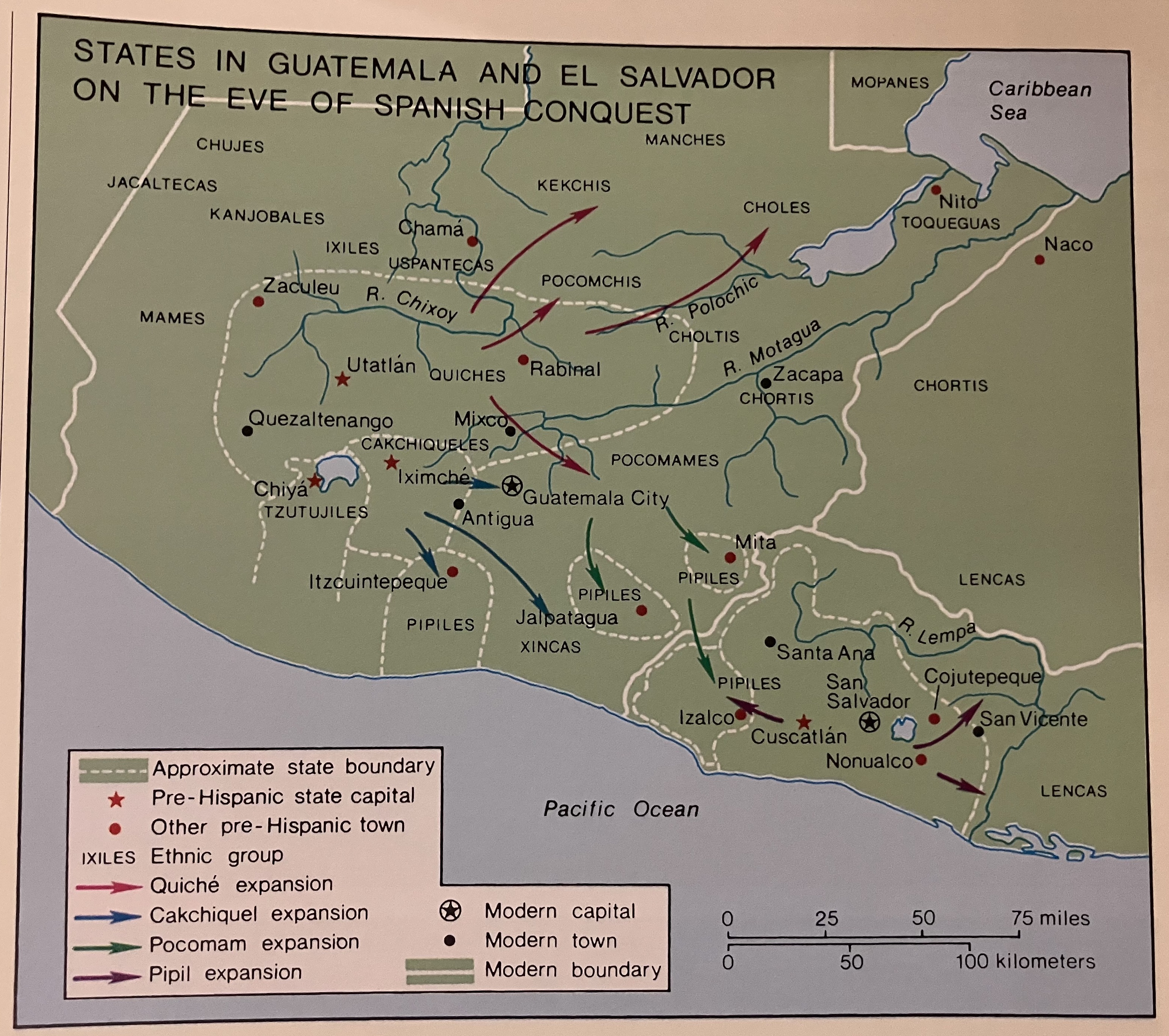
States in Guatemala and el Salvador on the Eve of Spanish Conquest.
Map 1524
MAPA de las Costas de TIERRA-FIRME Desde el Orinoco hasta Yucatán
Map 1840![[Carte de la Guyane depuis le Marony jusqu'au Yary]](https://dnet8ble6lm7w.cloudfront.net/maps/FGU/FGU0046.jpeg)
[Carte de la Guyane depuis le Marony jusqu'au Yary]
Map 1766
Untitled
Artwork
Vom Roroima zum Orinoco
Map 1923 - 1928
Colombia Prima or South America drawn from the large map in eight sheets by Louis Stanislas D'Arcy Delarochette
Map 1811