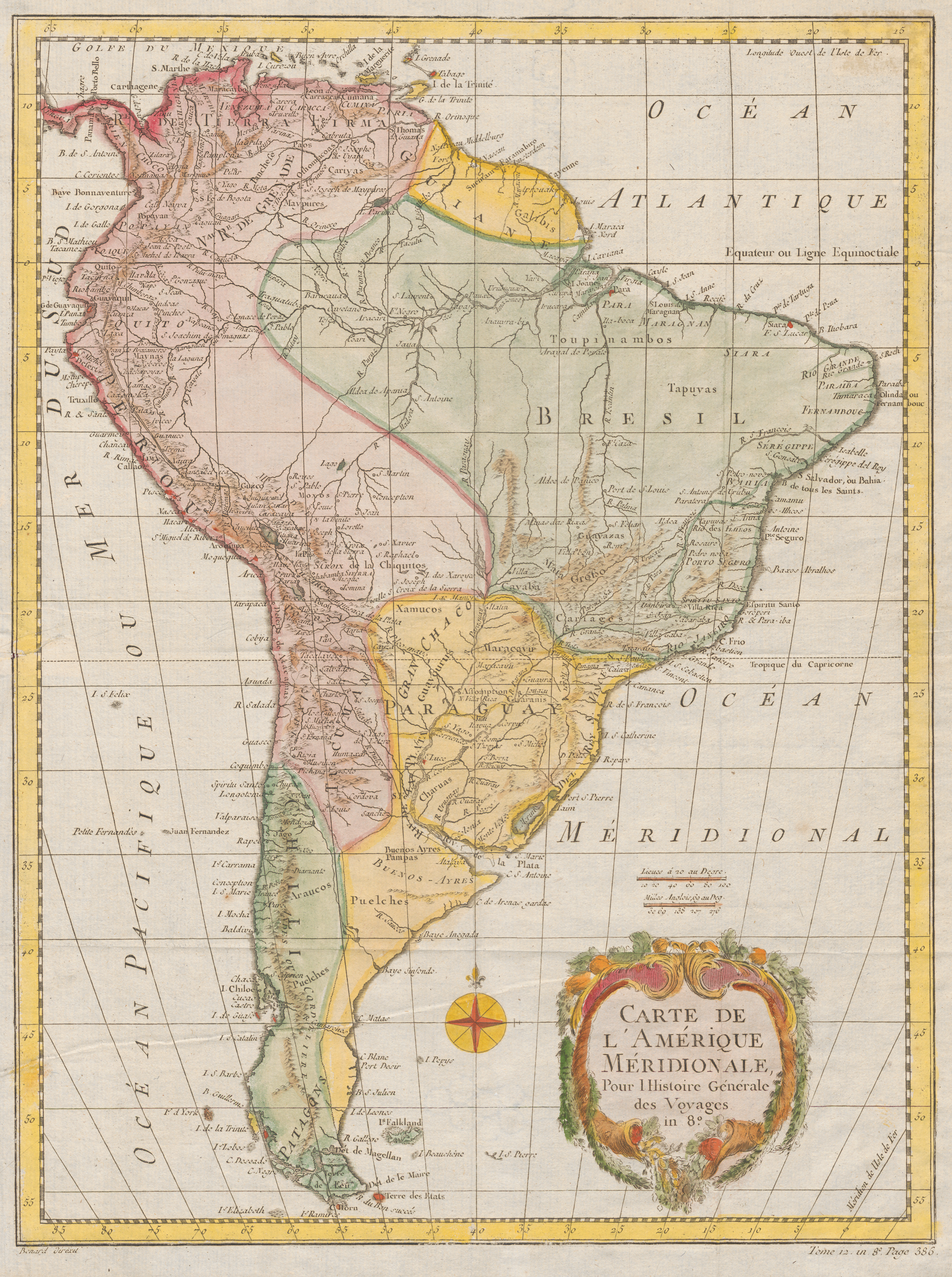
Peoples
- PATAGONES
- PUELCHES
- ARAUCOS
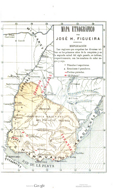
- CHARRUAS
- GUAYCURUES
- XAMUCOS
- MARACAYUS
- CHIQUITOS
- CARIAGES
- CAYABA
- TAPUYAS
- GUAYAZAS
- TOUPINAMBOS
- GALIBIS
- CARIYAS
- MAYPURES
- TANCHEFE
- OTOMACOAS
- MAYNAS
- MOXOS
Citation
Bénard, Robert. Carte De L'Amérique Méridionale. Pour l Histoire Générale des Voyages , in 8°. Map. Paris, France: Didot, 1754. Accessed July 1, 2023. https://digital.iai.spk-berlin.de/viewer/image/630108544/1/LOG_0000/.
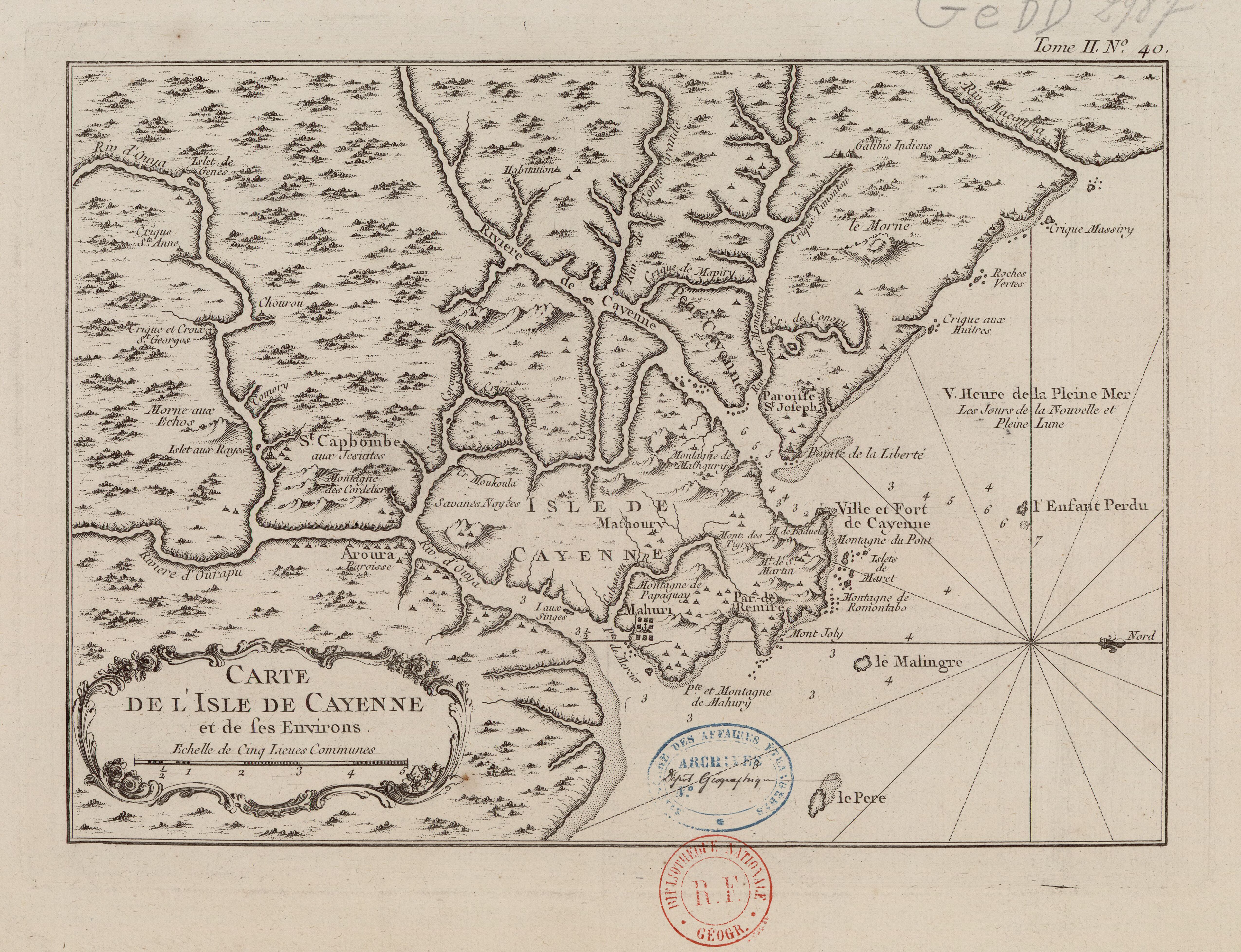
![[Carte de la Guyane, des bassins de l'Orénoque et de l'Amazone]](https://dnet8ble6lm7w.cloudfront.net/maps/CNT/CNT0174.jpeg)