Peoples
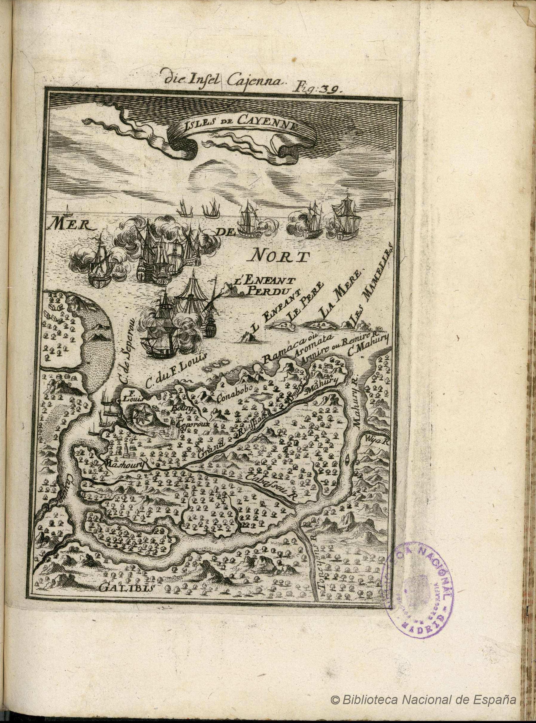
- GALIBIS
- EMERILLONS
Citation
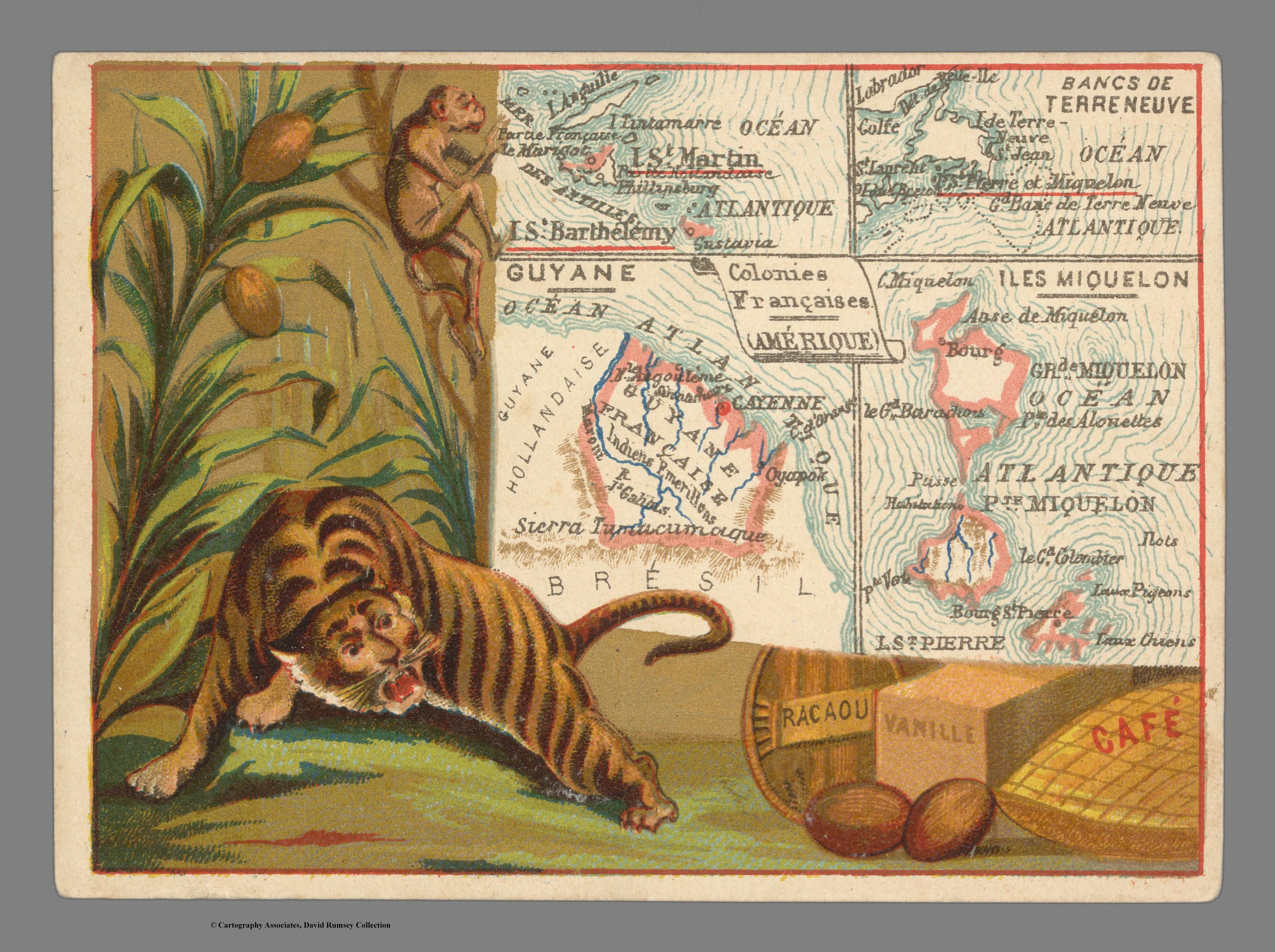
Ad. Mertens, Colonies Francaises (Amerique). David Rumsey Map Collection. Accessed, June 26, 2023. https://www.davidrumsey.com/luna/servlet/detail/RUMSEY~8~1~333468~90101855:Colonies-Fran%25C3%25A7aises--Am%25C3%25A9rique-----