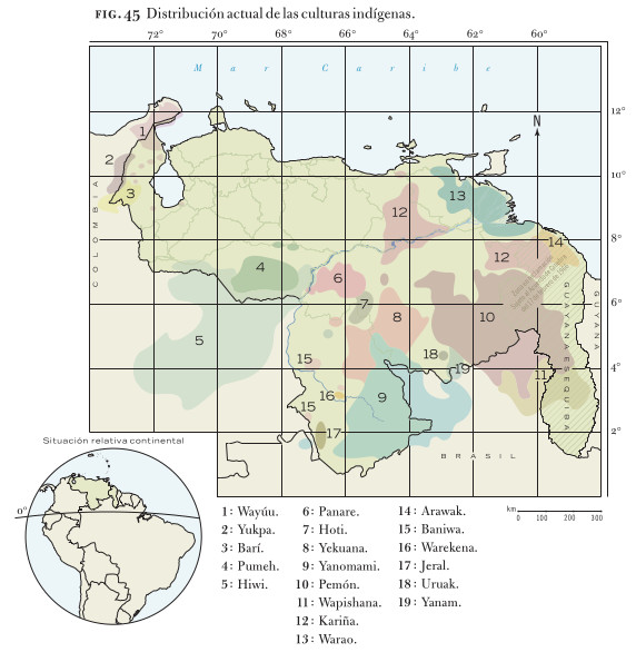
Peoples
- JIVI
- MACOS
- PIAROA
- AYANOS
- MAPOJOS
- ARNACOTO
- GUARUANA
- WAIKAS
- ARAWAK
- MAKUSHI
- PURIGOTOS
- KIRISHANA
- YABANOS
- CURIARANAS
- YEKUANA
- GUAIPUNAYOS
- AZANENI
Citation
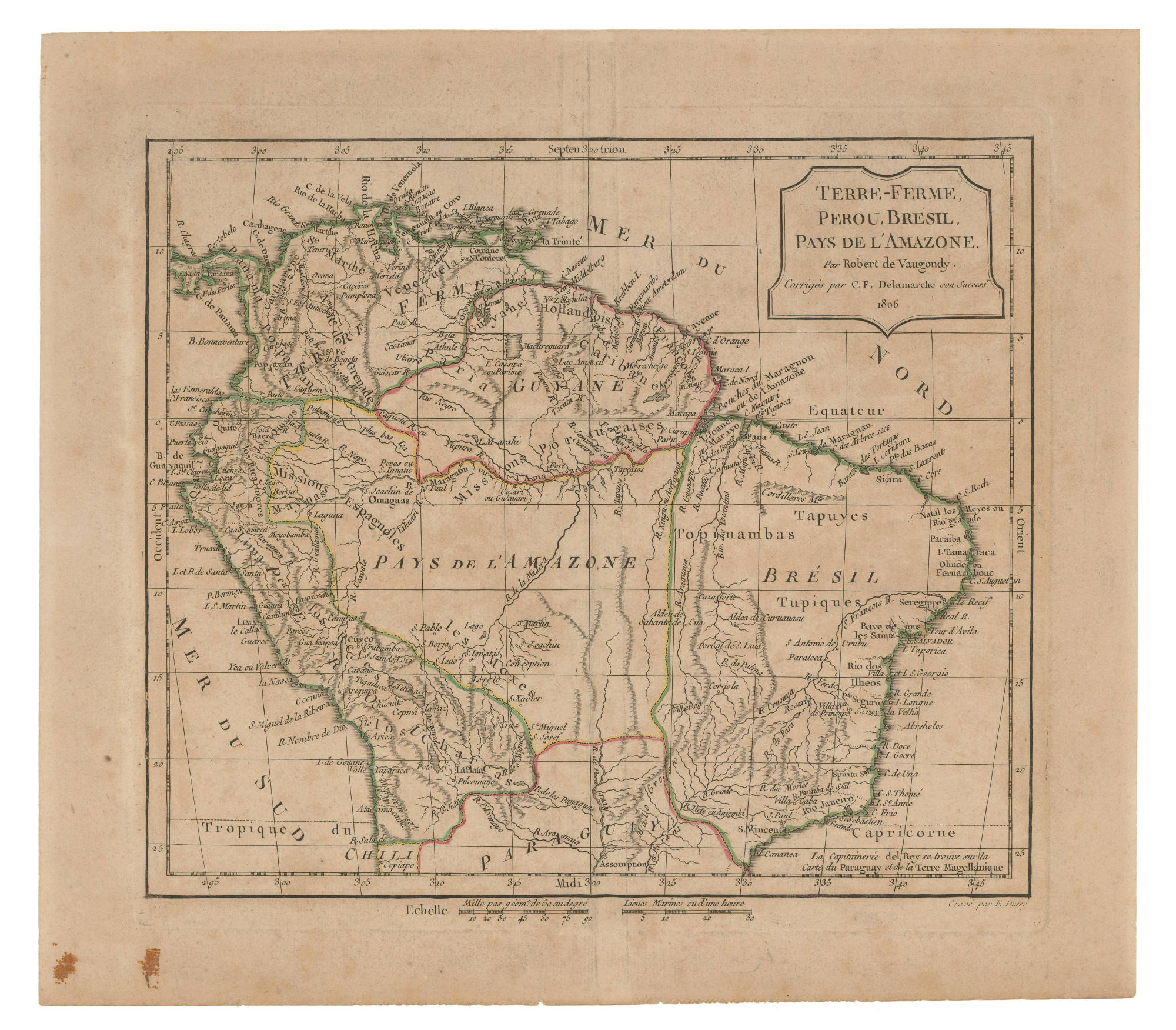
Colombie, Guyane, Venezuela, Equateur. Map. Paris, 1868. Accessed February 3, 2023. https://babel.banrepcultural.org/digital/collection/p17054coll13/id/149/rec/26.