Peoples
- CHIQUITOS
- GUAYCURUS
- MOCOBIOS
- ABIPONES
- CHIRIGUANO
- TOBAS
Citation
Library of Congress Geography and Map Division, G5202.R5 1856 .P3 https://hdl.loc.gov/loc.gmd/g5202r.fi000158
Carte de la Guyane française
Map 1946
Plan Del curso de los Rios Huallaga y Ucayali, y de la pampa del Sacramento
Map 1790
Lago de Nicaragua
Map 1748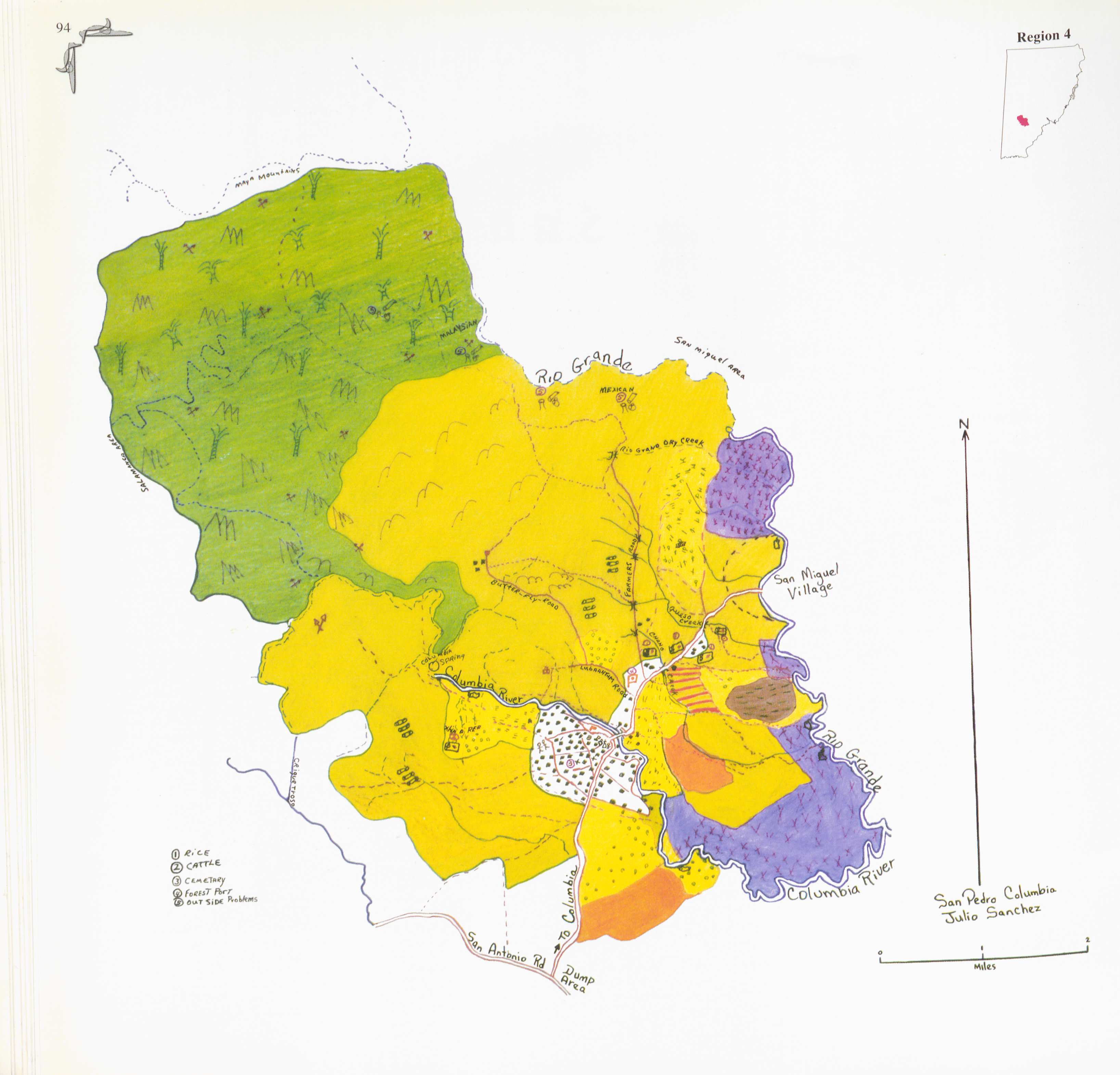
San Pedro Columbia
Map 1997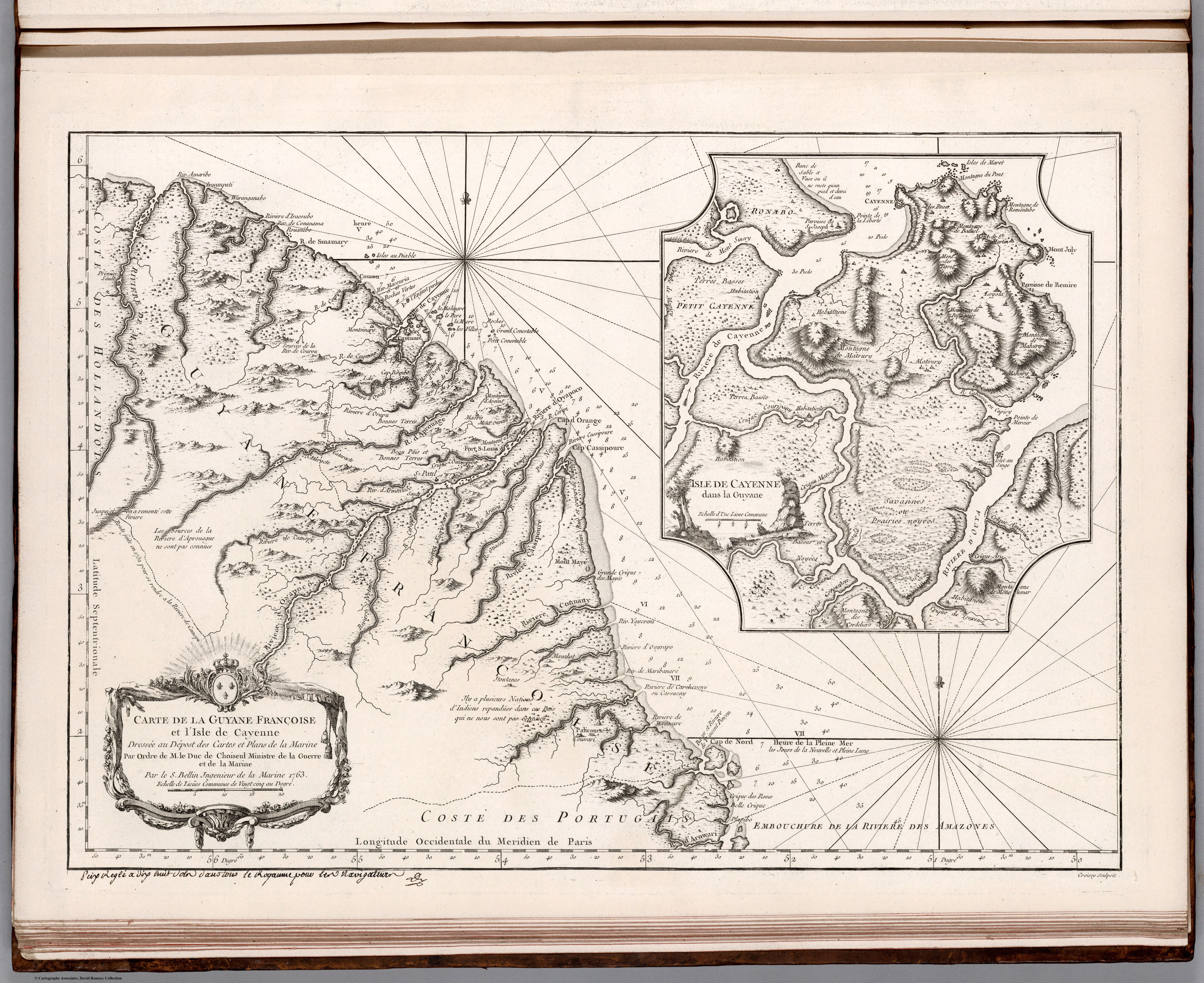
Carte de la Guyane Françoise et l'Isle de Cayenne. Dressée au Dépost des Cartes et Plans de la Marine Par Ordre de M. le Duc de Choiseul Ministre de la Guerre et de la Marine.
Map 1763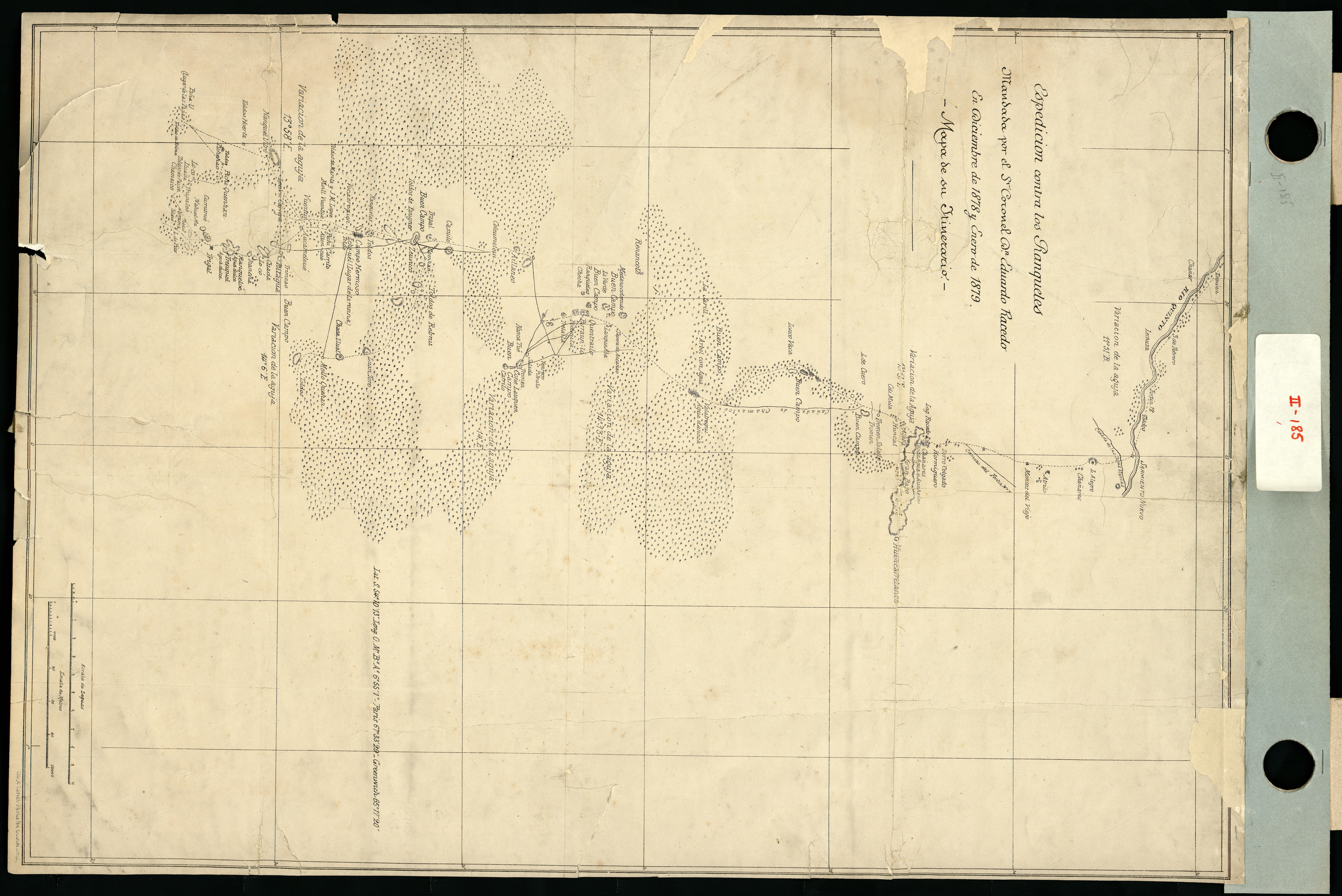
Espedicion contra los ranqueles
Map 1878 - 1879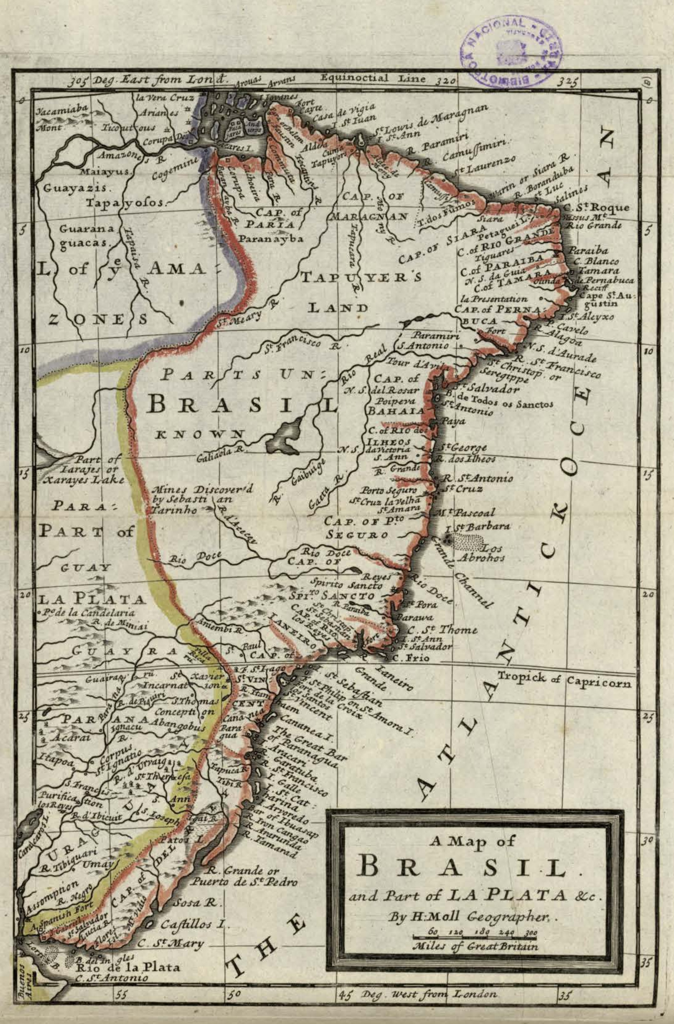
A Map of BRASIL and Part of LA PLATA
Map 1717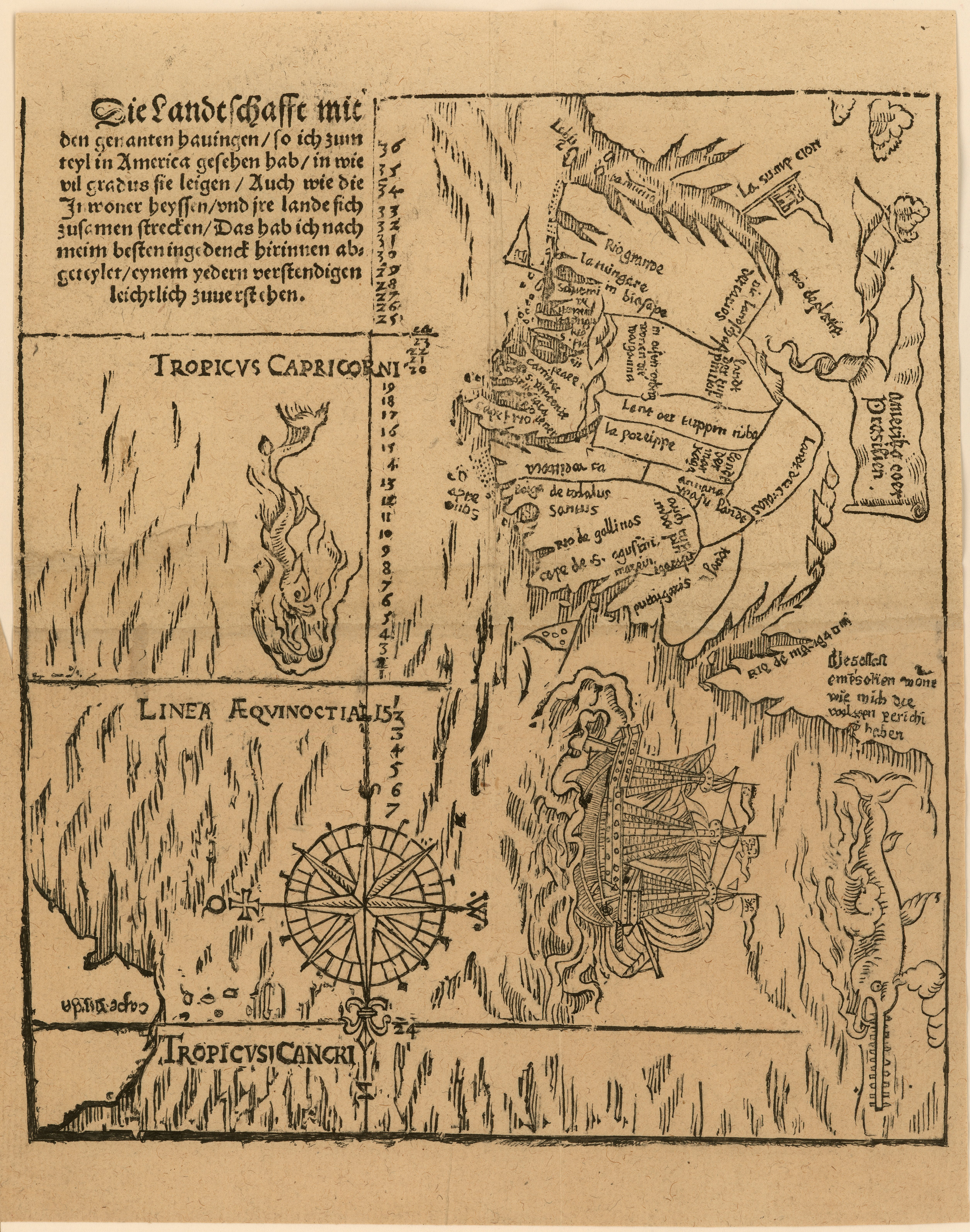
Die landtschafft mit den genanten hauingen so ich zum teyl in America gesehen hab...
Map 1500 - 1550