Peoples
- CHIQUITOS
- GUAYCURUS
- MOCOBIOS
- ABIPONES
- CHIRIGUANO
- TOBAS
Citation
Library of Congress Geography and Map Division, G5202.R5 1856 .P3 https://hdl.loc.gov/loc.gmd/g5202r.fi000158
REGIÓN VALLES CENTRALES
Map 2000
CARTA COROGRAFICA DE LA REPÚBLICA DEL ECUADOR / MANUEL VILLAVICENCIO ;LIT. E IMP. DE F. MAYER Y CA.
Map 1817
Carte particulière du gouvernement de Venezuela / dressée sur ce que les Espagnols en ont écrit par le Sr D'Anville
Map 1730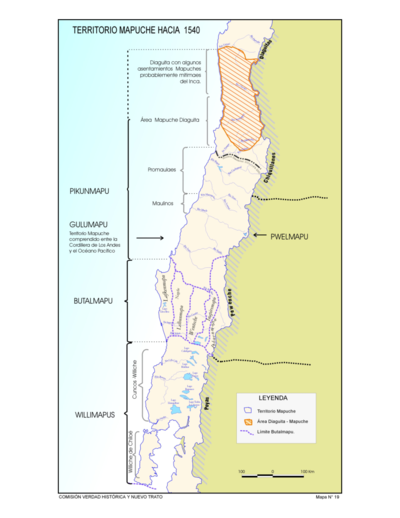
Territorio Mapuche hacia 1540
Map 1540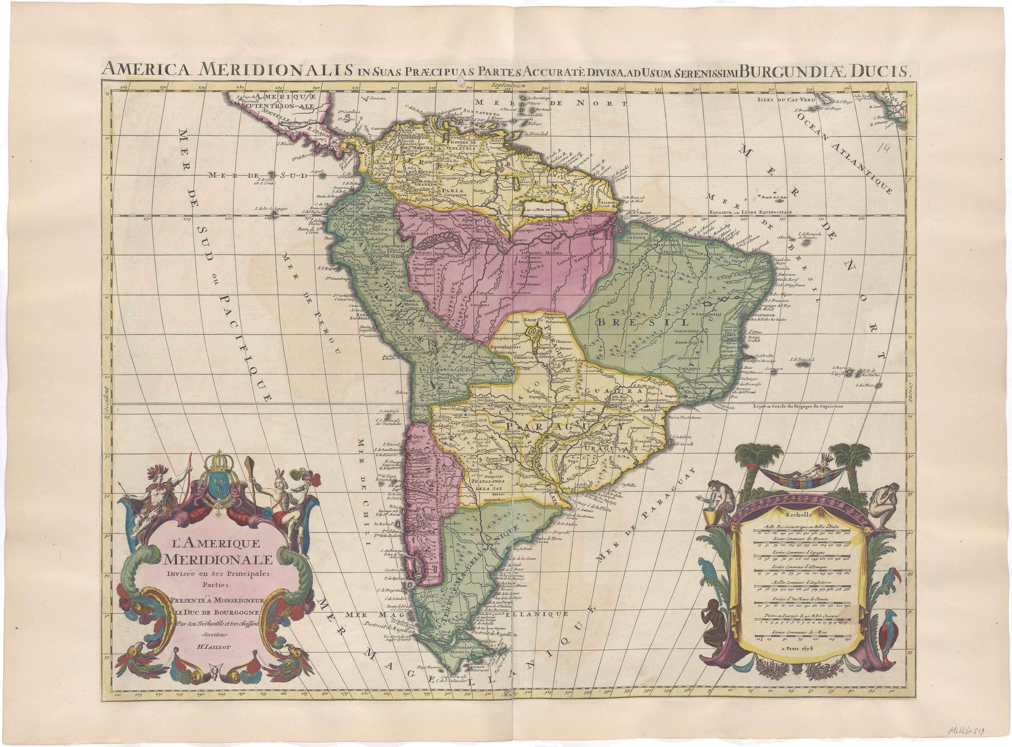
L'Amerique Meridionale Divisée en ses Principales Parties. Presenté à Monseigneur le Duc de Bourgogne
Map 1694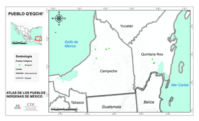
PUEBLO Q'EQCHI'
Map 2020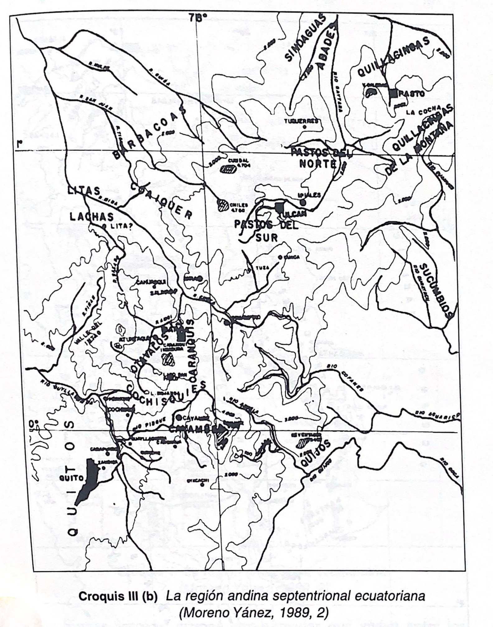
Croquis III. (b) La región andina septentrional ecuatoriana (Moreno Yanez;1989;2)
Map -500 - 1530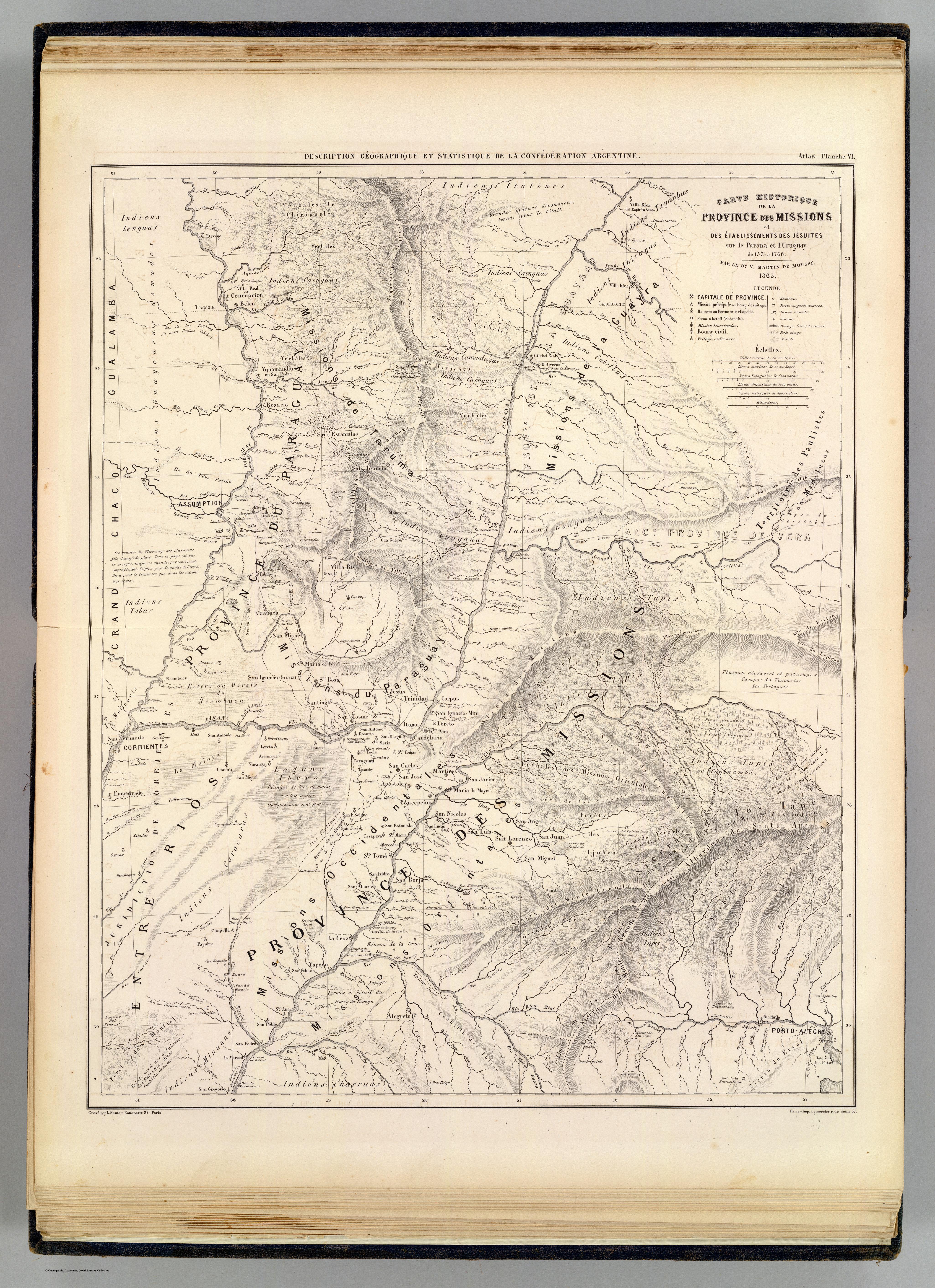
Carte hist.;Prov. des Missions;etabl. Jesuites;Parana et l'Uruguay;1575- 1768
Map 1575 - 1768