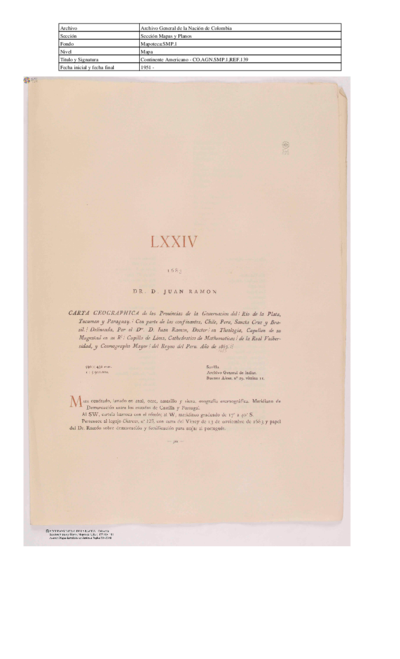
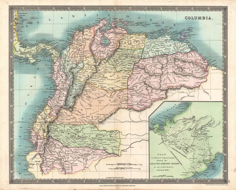
Dispossesions in the Americas

Dispossesions in the Americas

  • Home
  • Explore
  • About
  • Authors
  • Art
  • Bodies
  • Curricula
  • Cultural Heritage
  • Maps
  • Territories
Back to Explore
Map 1829

COLUMBIA

  • DOWER;JOHN;ET AL.

Published: 1831

  • Download Image

Peoples

  • CARIBBEES
  • GUACAS
  • KINOROTO
  • CARINAGOTOS
  • ARUACAS
  • CUYABAS
  • ARINCHOTAS
  • CARIANAS
  • ABACARVAS
  • QUIRIQUIRINAS
  • AGUARICOTOS
  • AREVIRIANAS
  • MACIRINAVI
  • GUAINARES
  • PANIVAS
  • OJES
  • QUAQUAS
  • GUAIQUIRIS
  • TAMIANACOS
  • MACOS
  • PIRACAS
  • ARUROS
  • ATURES
  • OCOMESIANAS
  • ATAPEIMAS
  • EQUINABIS
  • CARINACOS
  • GUAYCAS
  • MANETIBITANAS
  • DEESANAS
  • AMUIZAN
  • CHEROTAS
  • SAGIDAQUENES
  • SALINAS
  • PARECAS
  • AMARIZANS
  • GUAHIBAS
  • ACHAGUAS
  • CHIRICOAS
  • JUROROS
  • BEREPAQUINABIS
  • GUASURIONNES
  • PUINABIS
  • TAMAS
  • ABANOS
  • CORAGUAGES
  • SEONES
  • MURCIELAGOS
  • GUAVIARE
  • ABANIS
  • CHERUVICHAHENA
  • CABRES
  • AREQUENAS
  • TMAUAS
  • SOCOMBIOS
  • PIMANPIROS
  • TICUNAS
  • MORUAS
  • YAHVAS
  • MARUQUEVENIS
  • PARIANAS
  • CABACHIS
  • MASSAMAS
  • PAYAGUAS
  • CUNGIES
  • ACANEJOS
  • CAFUANAS
  • ARIANAS
  • ABIJIRAS
  • ARDAS
  • SIMIGAYES
  • ANDNIES
  • CORONADOS
  • GAYES
  • CASIBARIS
  • MAYORONAS
  • COCAMAS
  • AUNALAS
  • UCHPAS
  • ROAMAYNAS
  • CHUDAVINAS
  • XIBAROS

Citation

Dower, John, and Henry Teesdale. Columbia. Map. London: Henry Teesdale & Co., 1831. Accessed December 26, 2022. https://www.geographicus.com/P/AntiqueMap/columbia-dower-1831.

  • Download Image

Reading in Spanish

Map 1829

COLUMBIA

  • DOWER;JOHN;ET AL.

Published: 1831

  • Download Image
  • Download Image

Reading in Portuguese

Map 1829

COLUMBIA

  • DOWER;JOHN;ET AL.

Published: 1831

  • Download Image

Peoples

  • CARIBBEES
  • GUACAS
  • KINOROTO
  • CARINAGOTOS
  • ARUACAS
  • CUYABAS
  • ARINCHOTAS
  • CARIANAS
  • ABACARVAS
  • QUIRIQUIRINAS
  • AGUARICOTOS
  • AREVIRIANAS
  • MACIRINAVI
  • GUAINARES
  • PANIVAS
  • OJES
  • QUAQUAS
  • GUAIQUIRIS
  • TAMIANACOS
  • MACOS
  • PIRACAS
  • ARUROS
  • ATURES
  • OCOMESIANAS
  • ATAPEIMAS
  • EQUINABIS
  • CARINACOS
  • GUAYCAS
  • MANETIBITANAS
  • DEESANAS
  • AMUIZAN
  • CHEROTAS
  • SAGIDAQUENES
  • SALINAS
  • PARECAS
  • AMARIZANS
  • GUAHIBAS
  • ACHAGUAS
  • CHIRICOAS
  • JUROROS
  • BEREPAQUINABIS
  • GUASURIONNES
  • PUINABIS
  • TAMAS
  • ABANOS
  • CORAGUAGES
  • SEONES
  • MURCIELAGOS
  • GUAVIARE
  • ABANIS
  • CHERUVICHAHENA
  • CABRES
  • AREQUENAS
  • TMAUAS
  • SOCOMBIOS
  • PIMANPIROS
  • TICUNAS
  • MORUAS
  • YAHVAS
  • MARUQUEVENIS
  • PARIANAS
  • CABACHIS
  • MASSAMAS
  • PAYAGUAS
  • CUNGIES
  • ACANEJOS
  • CAFUANAS
  • ARIANAS
  • ABIJIRAS
  • ARDAS
  • SIMIGAYES
  • ANDNIES
  • CORONADOS
  • GAYES
  • CASIBARIS
  • MAYORONAS
  • COCAMAS
  • AUNALAS
  • UCHPAS
  • ROAMAYNAS
  • CHUDAVINAS
  • XIBAROS

Citation

Dower, John, and Henry Teesdale. Columbia. Map. London: Henry Teesdale & Co., 1831. Accessed December 26, 2022. https://www.geographicus.com/P/AntiqueMap/columbia-dower-1831.

  • Download Image

Related Content

Ubicación Corregimiento de la Pedrera

Ubicación Corregimiento de la Pedrera

Map 2019
Resguardo de los indios de Guateque. Plano en trazo simple de la cuchilla que pretenden los indios. Corresponde al expediente seguido por los indios con Francisco Javier del Castillo, por deslinde de tierras

Resguardo de los indios de Guateque. Plano en trazo simple de la cuchilla que pretenden los indios. Corresponde al expediente seguido por los indios con Francisco Javier del Castillo, por deslinde de tierras

Map 1801
Territorios Indigenas en Guatemala 2,001

Territorios Indigenas en Guatemala 2,001

Map 2001
Principales Conventos en el Siglo XVI

Principales Conventos en el Siglo XVI

Map 1500 - 1599
Carta geographica de las provincias de la governacion del rio de
     la plata y confinantes.

Carta geographica de las provincias de la governacion del rio de la plata y confinantes.

Map 1863
Boom Creek Village

Boom Creek Village

Map 1997
Carte 5: Le pays Wayãpi: Région méridionale

Carte 5: Le pays Wayãpi: Région méridionale

Map 1760 - 1790
DEMARCACIÓN DE LÍMITES DEL PUEBLO REAL DE INDIOS (REDUCCIÓN) DE TALINA (1573)

DEMARCACIÓN DE LÍMITES DEL PUEBLO REAL DE INDIOS (REDUCCIÓN) DE TALINA (1573)

Map 1573

Dispossessions in the Americas

A project by

University of Pennsylvania

Copyright 2024

With support from

Mellon Foundation

Site design & development

Element 84

Art Credits

Dower, John, and Henry Teesdale. Columbia. Map. London: Henry Teesdale & Co., 1831. Accessed December 26, 2022. https://www.geographicus.com/P/AntiqueMap/columbia-dower-1831.

Site Pages

  • Home
  • Explore
  • About
  • Authors
  • Art
  • Bodies
  • Curricula
  • Cultural Heritage
  • Maps
  • Territories