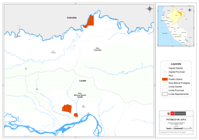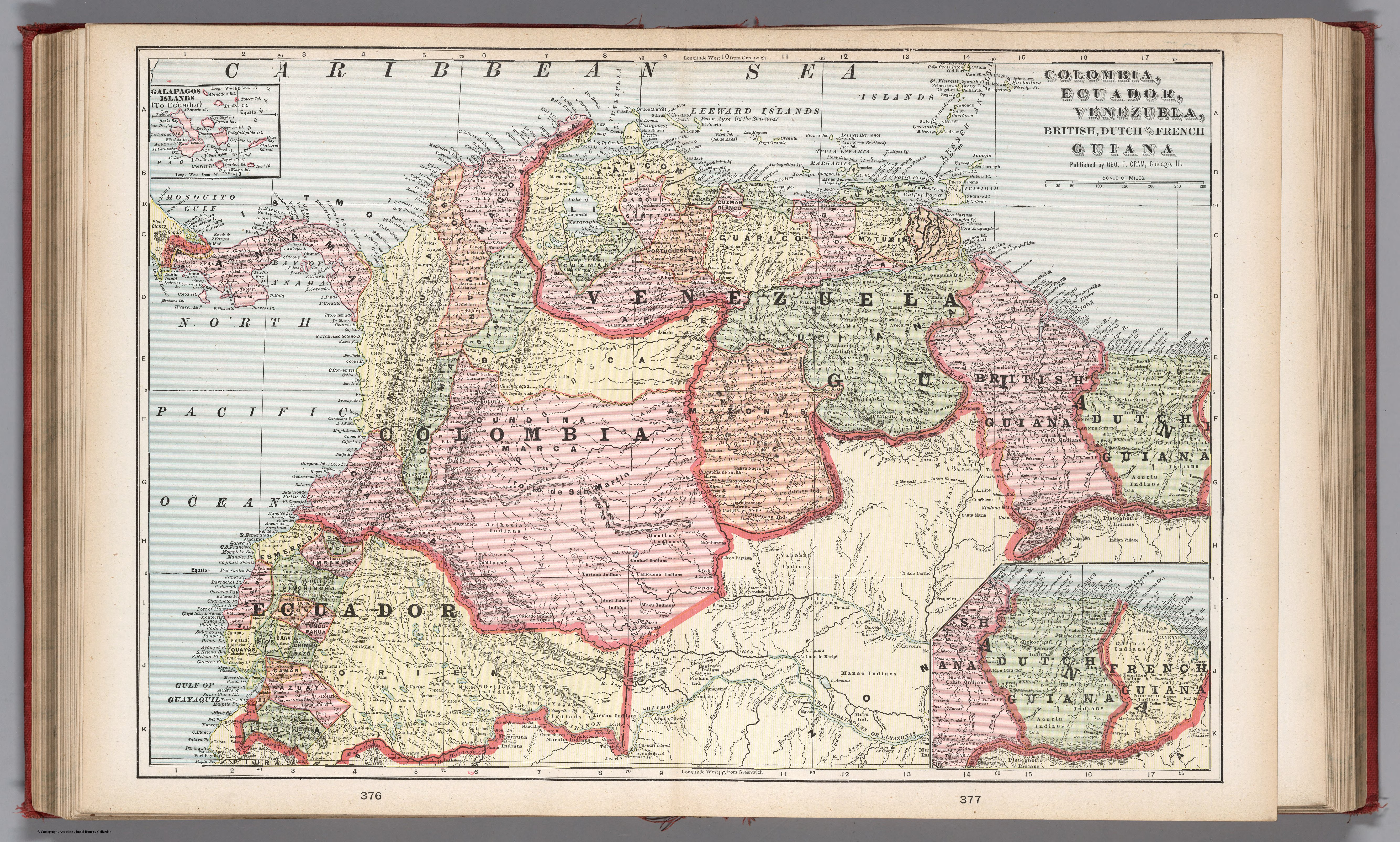
Peoples
- GUAHIBO
- AGUARICOTO
- PIAROA
- AYANO
- MACO
- QUIRIQUIRIPO
- TAPARITTO
- ARINOGOTO
- PARABENA
- GUAIAUNO
- WAIKA
- GUAICA
- ARAWAK
- AUKAU
- KIRIKIRISCOTO
- SARAMACCA
- REKOE
- MATAARIE
- CARIB
- ACURIA
- TARUMA
- PIANOGHOTTO
- GUINAU
- PURIGOTO
- PAUXIANA
- MAQUIRITARE
- MAYONOKO
- AVERIANO
- CURIARANA
- CUNIPASANA
- YABAANA
- BANILAS
- CANIARI
- UARIQUENA
- MACUENI
- AZARENI
- GUAINARE
- AETHONIA
- XEBERO
- TARIANA
- OREJONE
- YAGUA
- MARUBO
- MAYURUNA
- TICUNA
- JURI
- MACU
- CANIXANA
- PARIANA
- MANAO
- MURA
- GALIBIS
- NORAGUE
Citation
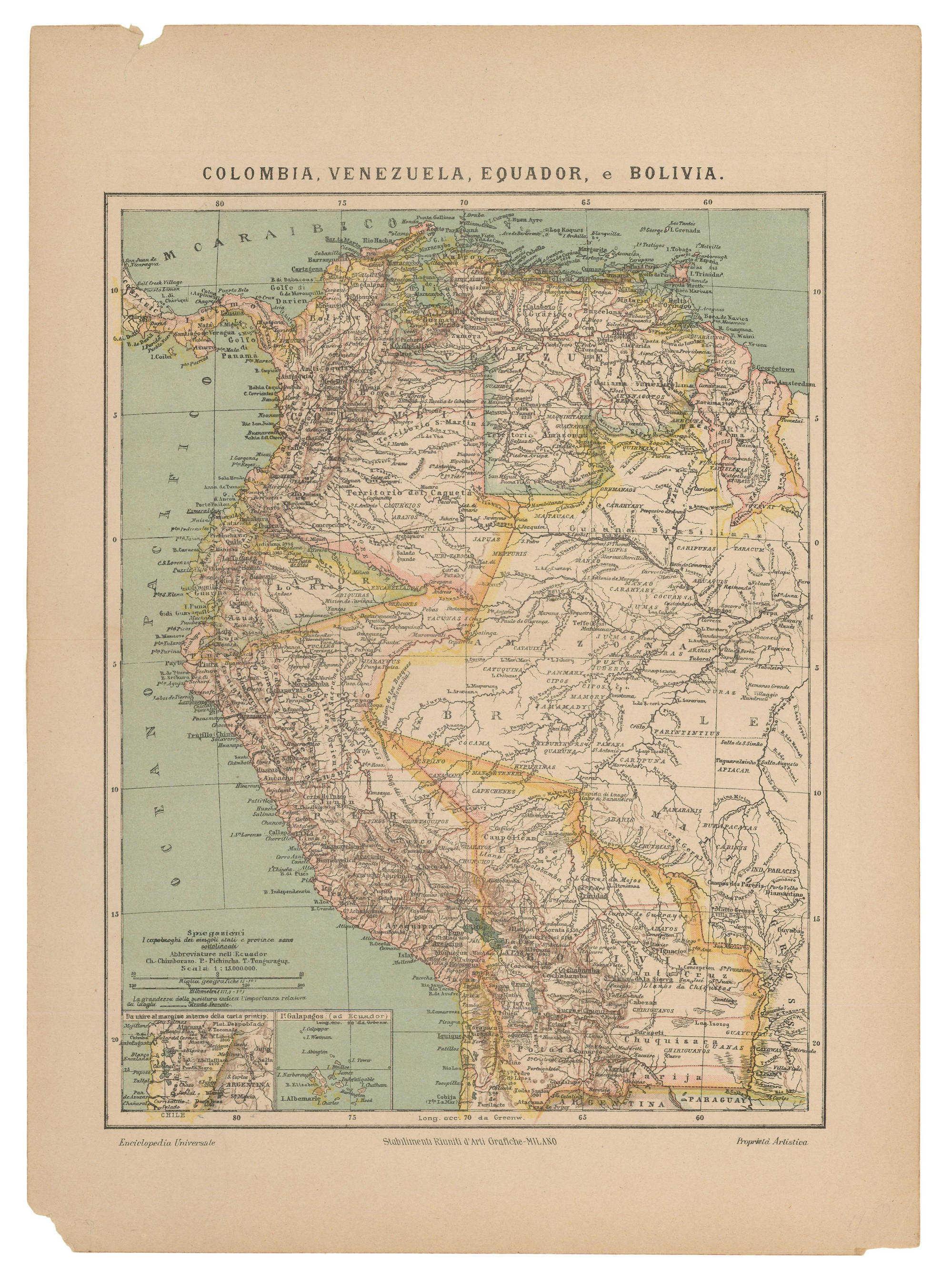
Cram, George Franklin, and Eugene Murray-Aaron. Columbia, Ecuador, Venezuela, British Dutch and French Guiana. Map. Chicago: G.F. Cram, 1901. Accessed December 24, 2022. https://www.davidrumsey.com/luna/servlet/detail/RUMSEY~8~1~273840~90047318:Columbia%2C-ECU%2C-VEN%2C-Briti?sort=pub_list_no_initialsort%2Cpub_date%2Cpub_list_no%2Cseries_no&qvq=w4s:/where%2FVEN,q:VEN,sort:pub_list_no_initialsort%2Cpub_date%2Cpub_list_no%2Cseries_no,lc:RUMSEY~8~1&mi=160&trs=267#.
![Carta ó Mapa Geográfico de una gran parte del Reino de N. E. [Nueva España], comprendido entre los 19 y 42 grados de latitud Septentrional y entre 249 y 289 grados de longitud del Meridiano de Tenerife, formado de orden del Exc[elentísi]mo S[eño]r B[eilí]o Fr[ey] D[o]n Ant[oni]o Maria Bucarely y Vrsúa p[ar]a indicar la division del Virreinato de México y de las Provincias internas erigidas en Comandancia General en virtud de Reales Órdenes el año 1770](https://dnet8ble6lm7w.cloudfront.net/maps_sm/MEX/MEX0190.png)