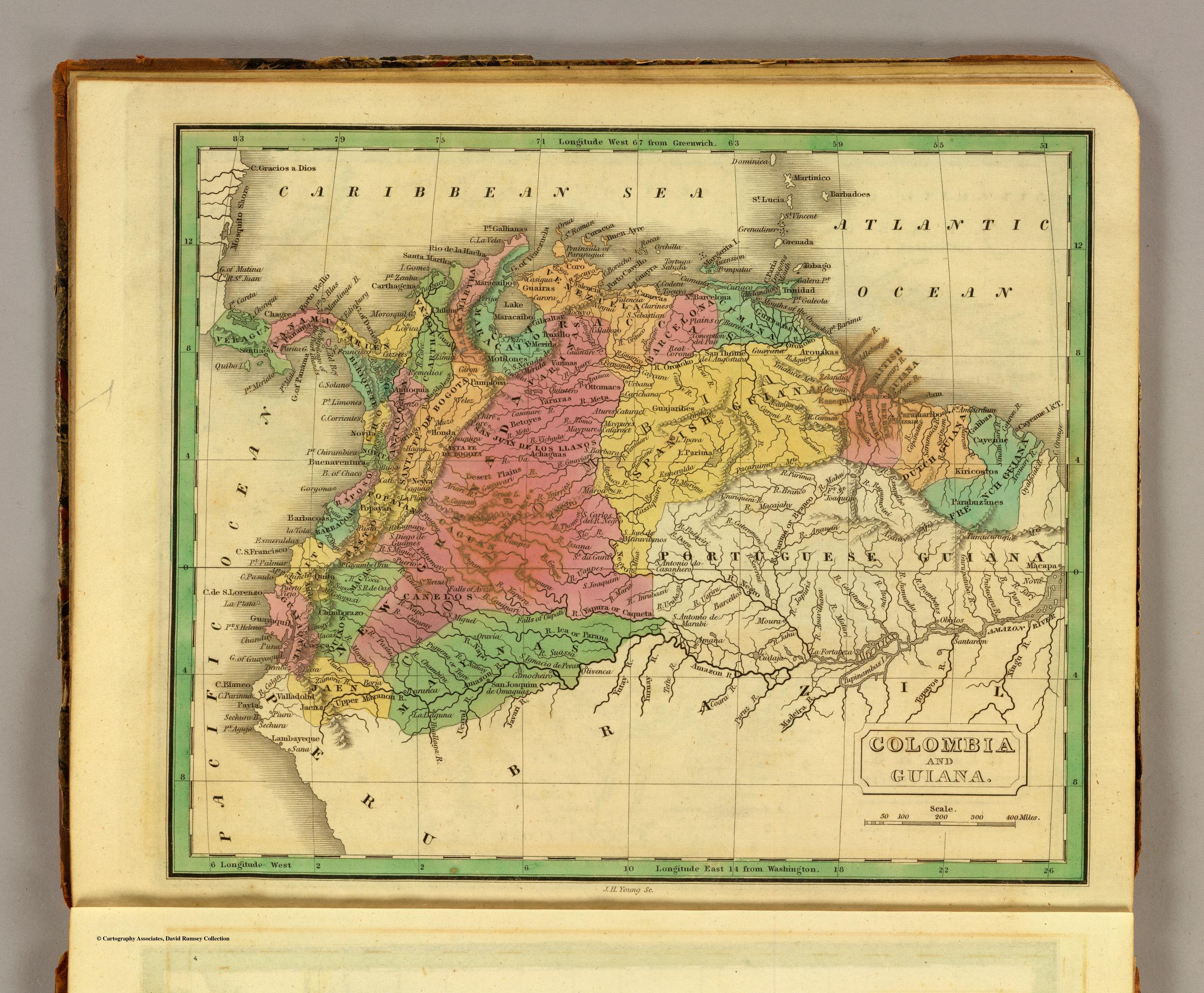
Dispossesions in the Americas

Dispossesions in the Americas

  • Home
  • Explore
  • About
  • Authors
  • Art
  • Bodies
  • Curricula
  • Cultural Heritage
  • Maps
  • Territories
Back to Explore
Map 1830

COLOMBIA AND GUIANA

  • GRIGG;JOHN

Published: 1830

  • Download Image

Peoples

  • WAYUU
  • GUARANOS
  • ARAWAK
  • GUAHARIBOS
  • OTOMACO
  • YARURO
  • ACHAGUA
  • BARI
  • BETOYES
  • GALIBAS
  • KIRICOSTOS
  • PARABUZANES

Citation

Grigg, John. Colombia and Guiana. Map. Philadelphia: John Grigg, 1830. Accessed October 2, 2022. https://www.davidrumsey.com/luna/servlet/detail/RUMSEY~8~1~28113~1120245:Colombia,-Guiana-?sort=pub_list_no_initialsort%2Cpub_date%2Cpub_list_no%2Cseries_no.

  • Download Image

Reading in Spanish

Map 1830

COLOMBIA AND GUIANA

  • GRIGG;JOHN

Published: 1830

  • Download Image
  • Download Image

Reading in Portuguese

Map 1830

COLOMBIA AND GUIANA

  • GRIGG;JOHN

Published: 1830

  • Download Image

Peoples

  • WAYUU
  • GUARANOS
  • ARAWAK
  • GUAHARIBOS
  • OTOMACO
  • YARURO
  • ACHAGUA
  • BARI
  • BETOYES
  • GALIBAS
  • KIRICOSTOS
  • PARABUZANES

Citation

Grigg, John. Colombia and Guiana. Map. Philadelphia: John Grigg, 1830. Accessed October 2, 2022. https://www.davidrumsey.com/luna/servlet/detail/RUMSEY~8~1~28113~1120245:Colombia,-Guiana-?sort=pub_list_no_initialsort%2Cpub_date%2Cpub_list_no%2Cseries_no.

  • Download Image

Related Content

Accuratissima Brasiliae Tabula

Accuratissima Brasiliae Tabula

Map 1600 - 1699
Carta para la inteligencia del informe sobre fronteras presentado al Excelentísimo Gobierno nacional por el General Don Wenceslao Paunero. Impreso

Carta para la inteligencia del informe sobre fronteras presentado al Excelentísimo Gobierno nacional por el General Don Wenceslao Paunero. Impreso

Map 1850 - 1880
La región andina central ecuatoriana

La región andina central ecuatoriana

Map -500 - 1550
Mapa de la Republica de Guatemala, America Central

Mapa de la Republica de Guatemala, America Central

Map 1880 - 1900
Paraguay, Ó Prov. De Rio De La Plata cum regionibus adiacentibus Tvcvman et Sta. Crvz De La Sierra.

Paraguay, Ó Prov. De Rio De La Plata cum regionibus adiacentibus Tvcvman et Sta. Crvz De La Sierra.

Map 1600 - 1650
Distribucion Territorial Actual de las Comunidades Quechua

Distribucion Territorial Actual de las Comunidades Quechua

Map 1993
CARTE DU THÉÂTRE DE LA GUERRE ENTRE LE BRÉSIL, LA CONFÉDÉRATION ARGENTINE, LA RÉPUBLIQUE DE L'URUGUAY & LE PARAGUAY

CARTE DU THÉÂTRE DE LA GUERRE ENTRE LE BRÉSIL, LA CONFÉDÉRATION ARGENTINE, LA RÉPUBLIQUE DE L'URUGUAY & LE PARAGUAY

Map 1864 - 1865
Distribución  de  los  Grupos  Indígenas  de Bolivia

Distribución de los Grupos Indígenas de Bolivia

Map 2000 - 2010

Dispossessions in the Americas

A project by

University of Pennsylvania

Copyright 2024

With support from

Mellon Foundation

Site design & development

Element 84

Art Credits

Grigg, John. Colombia and Guiana. Map. Philadelphia: John Grigg, 1830. Accessed October 2, 2022. https://www.davidrumsey.com/luna/servlet/detail/RUMSEY~8~1~28113~1120245:Colombia,-Guiana-?sort=pub_list_no_initialsort%2Cpub_date%2Cpub_list_no%2Cseries_no.

Site Pages

  • Home
  • Explore
  • About
  • Authors
  • Art
  • Bodies
  • Curricula
  • Cultural Heritage
  • Maps
  • Territories