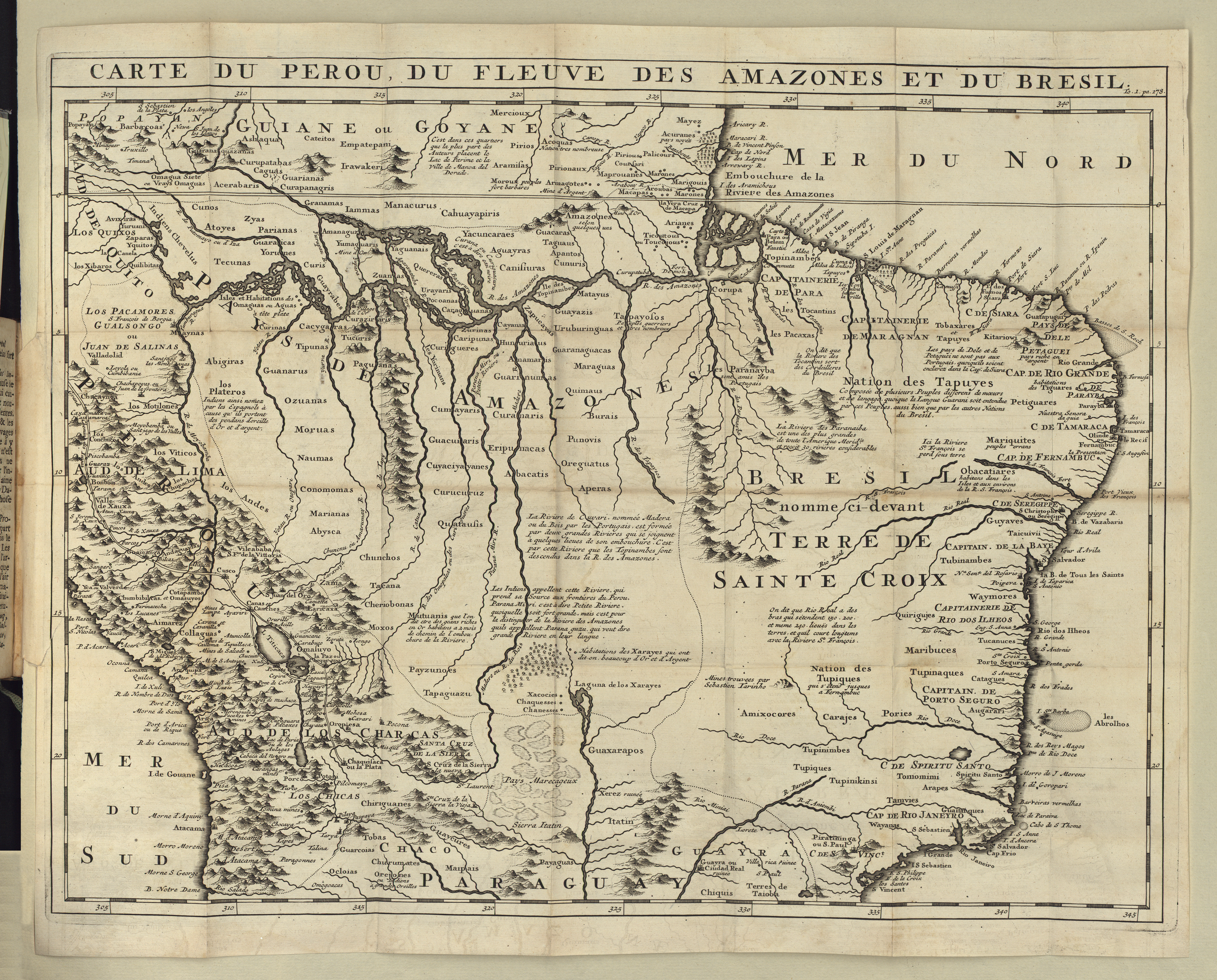
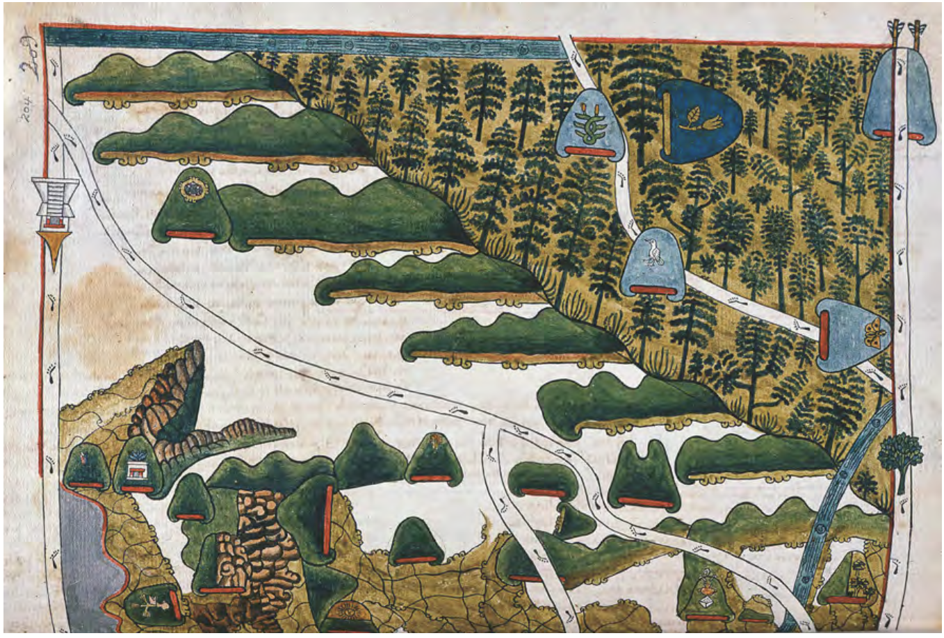
Peoples
- CHARRUAS
- YAROS
- BOHANES
- MARTIDANES
- MANCHADOS
- GUARANIES
- QUARANDIES
- ABIPONES
- CHUNIPIES
- LULES
- VILELAS
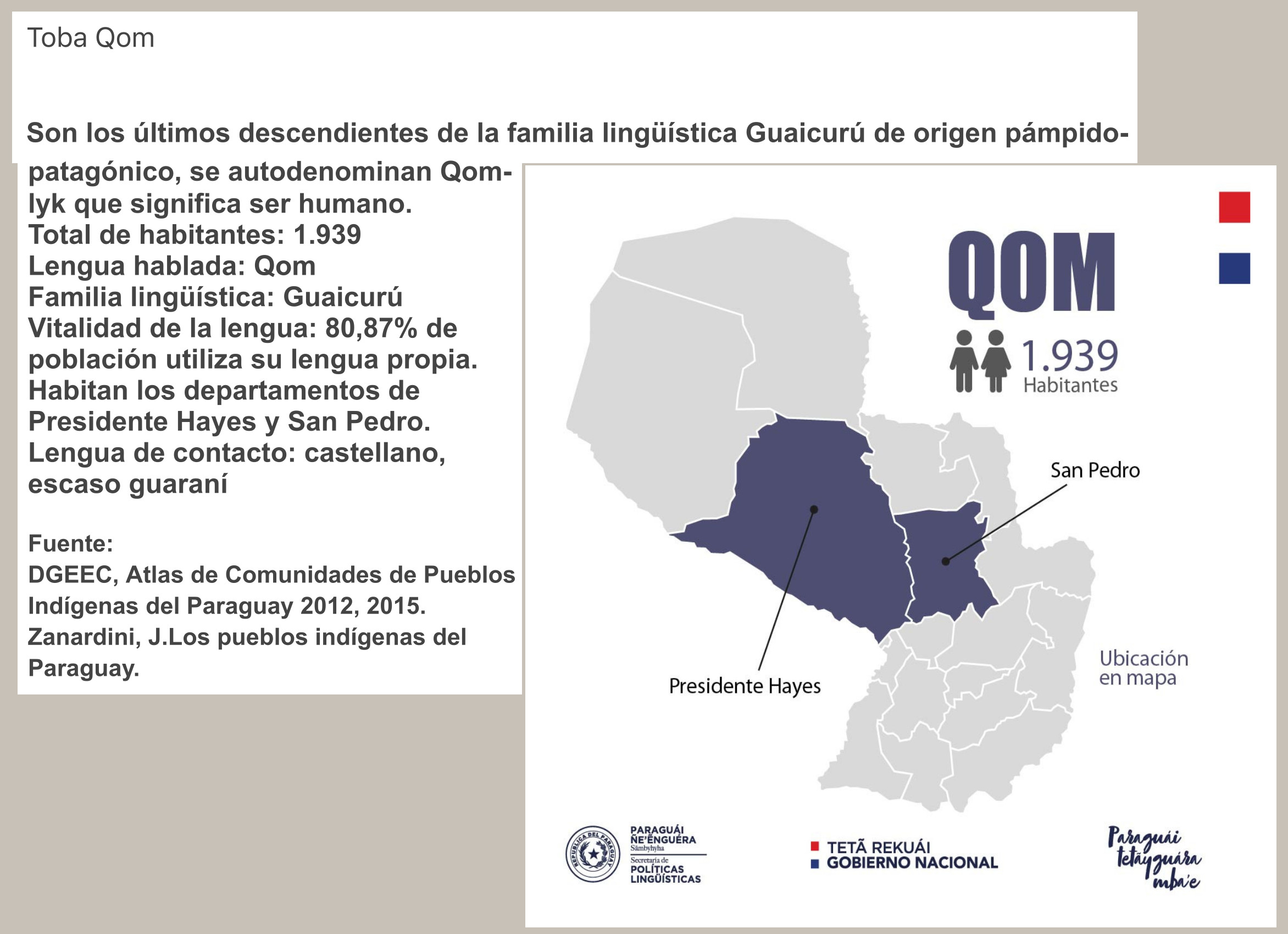
- TOBAS
- ZAPITALACAS
- MOCOBIS
- MBAYAS
- KOLLAS
- CHIQUITOS
- CHIRIGUANES
Citation
Fúrlong Cárdiff, Guillermo. Ilustraciones. Vol. 2 of Cartografía Jesuítica del Río de la Plata. Buenos Aires: Talleres S.A. Casa Jacobo Peuser, 1936. Accessed June 3, 2022. No. 46. https://archive.org/details/cartografiajesui00furl/page/n1/mode/2up.