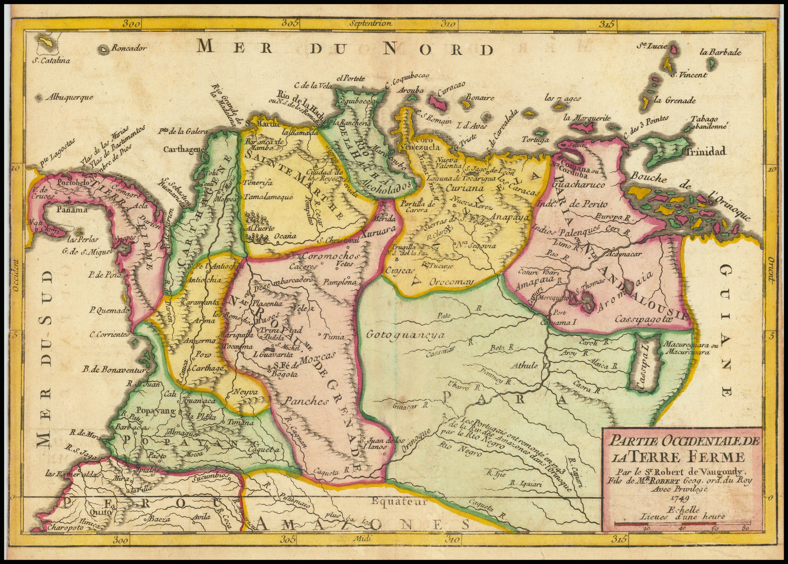
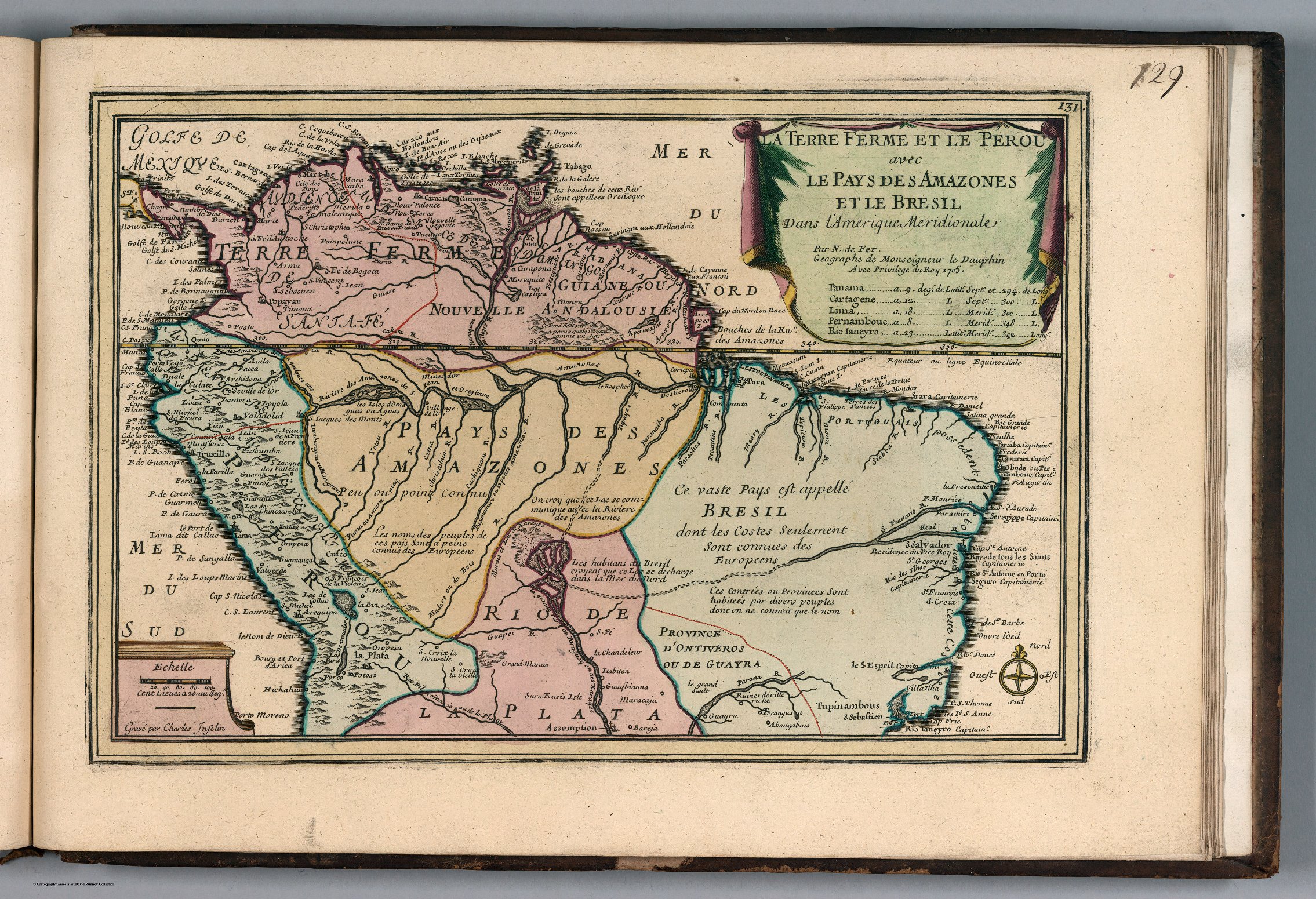
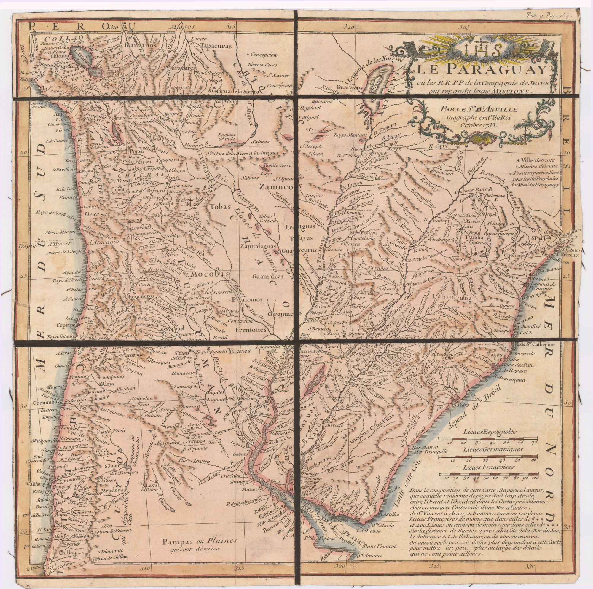
Dispossesions in the Americas

Dispossesions in the Americas

  • Home
  • Explore
  • About
  • Authors
  • Art
  • Bodies
  • Curricula
  • Cultural Heritage
  • Maps
  • Territories
Back to Explore
Map 1733

Le Paraguay;où les R.R.P.P. de la Compagnie de Jesus ont répandu leurs missions par le Sr. d'Anville;geographe ordre. du Roi;Octobre 1733

  • JUAN FRANCISCO D’AVILIA

Published: 1733

  • Download Image

Peoples

  • MOCOBIS
  • PALOMOS
  • FRENTONES
  • YUANES
  • ABIPONES
  • OREJONES
  • GUAMALCAS
  • GUAYCURUS
  • YAYAS
  • LEGUAS
  • ZAPUALAGUAS
  • ZAMUCOS
  • TOBAS
  • CHIRIGUANES
  • RAMANOS
  • TAPACURAS
  • YURACARES
  • CHIQUITOS
  • GUARAYOS
  • XARCYES
  • CHARRUAS
  • YAROS

Citation

Princeton University. Special Collections - Rare Books Historic Map Collection. Call number: HMC01.6412 D Alcove 30, Drawer 6. https://catalog.princeton.edu/catalog/9955842033506421

  • Download Image

Reading in Spanish

Map 1733

Le Paraguay;où les R.R.P.P. de la Compagnie de Jesus ont répandu leurs missions par le Sr. d'Anville;geographe ordre. du Roi;Octobre 1733

  • JUAN FRANCISCO D’AVILIA

Published: 1733

  • Download Image
  • Download Image

Reading in Portuguese

Map 1733

Le Paraguay;où les R.R.P.P. de la Compagnie de Jesus ont répandu leurs missions par le Sr. d'Anville;geographe ordre. du Roi;Octobre 1733

  • JUAN FRANCISCO D’AVILIA

Published: 1733

  • Download Image

Peoples

  • MOCOBIS
  • PALOMOS
  • FRENTONES
  • YUANES
  • ABIPONES
  • OREJONES
  • GUAMALCAS
  • GUAYCURUS
  • YAYAS
  • LEGUAS
  • ZAPUALAGUAS
  • ZAMUCOS
  • TOBAS
  • CHIRIGUANES
  • RAMANOS
  • TAPACURAS
  • YURACARES
  • CHIQUITOS
  • GUARAYOS
  • XARCYES
  • CHARRUAS
  • YAROS

Citation

Princeton University. Special Collections - Rare Books Historic Map Collection. Call number: HMC01.6412 D Alcove 30, Drawer 6. https://catalog.princeton.edu/catalog/9955842033506421

  • Download Image

Related Content

Geographical Map of the Republic of Nicaragua.

Geographical Map of the Republic of Nicaragua.

Map 1855
MAP 8: SELECTED INDIGENOUS IDENTITY GROUPS IN ECUADOR;INCLUDING PUEBLOS

MAP 8: SELECTED INDIGENOUS IDENTITY GROUPS IN ECUADOR;INCLUDING PUEBLOS

Map 2009
La Intendencia del Cuzco : Diuidida en todos los partidos o departamentos según las más individuales y exactas noticias de su capital, añadida y corregida por Pablo José Oricayn, año de 1786.

La Intendencia del Cuzco : Diuidida en todos los partidos o departamentos según las más individuales y exactas noticias de su capital, añadida y corregida por Pablo José Oricayn, año de 1786.

Map 1786
EMBOUCHURE DE LA RIVIERE DES AMAZONES

EMBOUCHURE DE LA RIVIERE DES AMAZONES

Map 1727
Partie Occidentale de la Terre Ferme

Partie Occidentale de la Terre Ferme

Map 1749
PARAGUAY

PARAGUAY

Map 1878
Sketch map of part of RÍO ORINOCO and RIO CUCHIVERO from a survey by MAJOR STANLEY PATERSON

Sketch map of part of RÍO ORINOCO and RIO CUCHIVERO from a survey by MAJOR STANLEY PATERSON

Map 1896
A TERRE FERME ET LE PEROU AVEC LE PAYS DES AMAZONES ET LE BRESIL

A TERRE FERME ET LE PEROU AVEC LE PAYS DES AMAZONES ET LE BRESIL

Map 1705

Dispossessions in the Americas

A project by

University of Pennsylvania

Copyright 2024

With support from

Mellon Foundation

Site design & development

Element 84

Art Credits

Princeton University. Special Collections - Rare Books Historic Map Collection. Call number: HMC01.6412 D Alcove 30, Drawer 6. https://catalog.princeton.edu/catalog/9955842033506421

Site Pages

  • Home
  • Explore
  • About
  • Authors
  • Art
  • Bodies
  • Curricula
  • Cultural Heritage
  • Maps
  • Territories