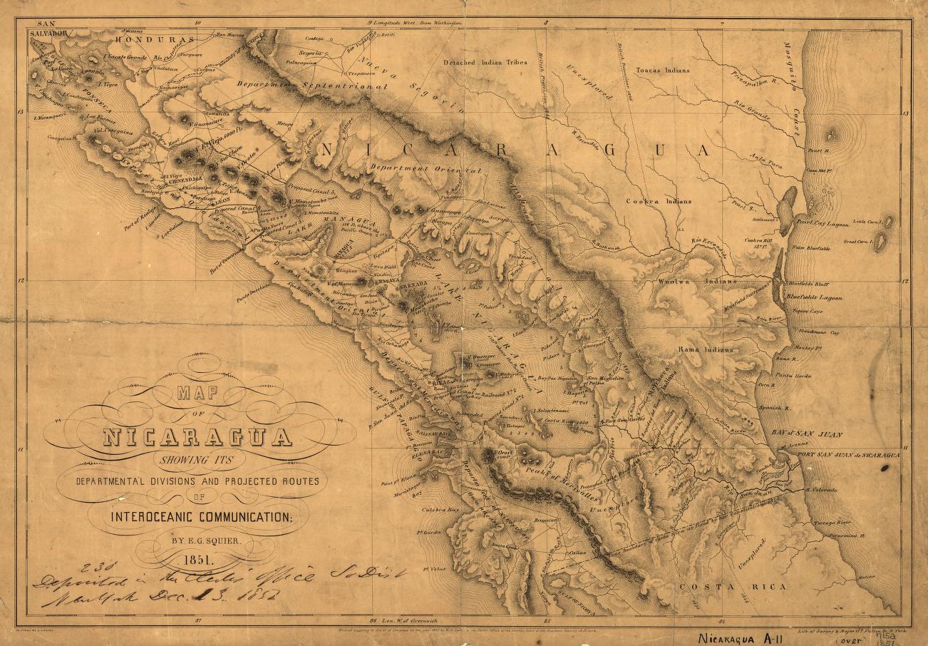
Peoples
- MAYA
- LENCA
- GARIFUNA
- NEGROINGLES
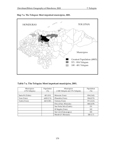
- TOLUPAN
- MATAGALPA
- PECH
- MISKITO
- MAYANGNA
- RAMA
- MALECU
- BRIBRI
- GUAYMI
- KUNA
- CHOCO
Citation
Gurdián, Galio, and Programa Estado de la Nación. El desafío de la multiculturalidad. Edited by Arodys Robles and Carlos Francisco Echeverría. 2003. Accessed May 8, 2022. https://repositorio.conare.ac.cr/handle/20.500.12337/715?show=full.