Peoples
- CHIRIVONES
- IVIRAYARAS
- GUARANIS
- GUNHANAS
- TAPES
- PINARES
- PATOS
- TARAVERA
- CHUNIPIS
- CHURUMATAS
- MATAGUAYOS
- GUAMALCA
- CHIRIGUANAS
- GUARROCANOS
- COROMETES
- LENOUAS
- MBAYAS
- GUASCURUS
- PARAGUAS
- ORECHONES
- AYCOTIES
- BOYAUNOS
- SECONDEUS
- TONOCOTIS
- GUANAS
- MONAOLAS
- TUPAYES
- LULES
- CONOCOTES
- NAPARUS
- YUCUNAMPAS
- VILELAS
- FRENTONES
- MOCOBIS
- CHOROMOROS
- AQUILOTES
- MALBATAES
- AMULAES
- MATARAS
- IOIOTINES
- YUANES
- ABIPONES
- CHARRUAS
- CASSAPAMINIANES
- BOANES
- MINUANES
- ARAUCANOS
- VECHEREGUAS
- MAQUEGUAS
- REPOCURAS
- HUILLICES
- CHARAUCABIS
- CHUPITA
- CHECHEHETS
- SANQUELCHES
- DI GUIGETS
- TALUHETS
- MOLHICHES
- PUCUNCHES
- AUCAES
- PEHUENCHES
- CHIQUILLANES
- PUELCHES
- SERRANOS
- PEVINGUES
- COLEHECHELES
- TARUECHES
- POYUS
- CALILLEHET
- TUELCHUS
- CAHUASCHETS
- CHULILIAN CUNIS
- HUENEHUENELES
- CALUELLAHUHAI
- DOQUELEES
- SECAUCHU
- ATSCHAUGHS
- GIAUE
- GICAUHAUI
- LEUVUCHES
Citation
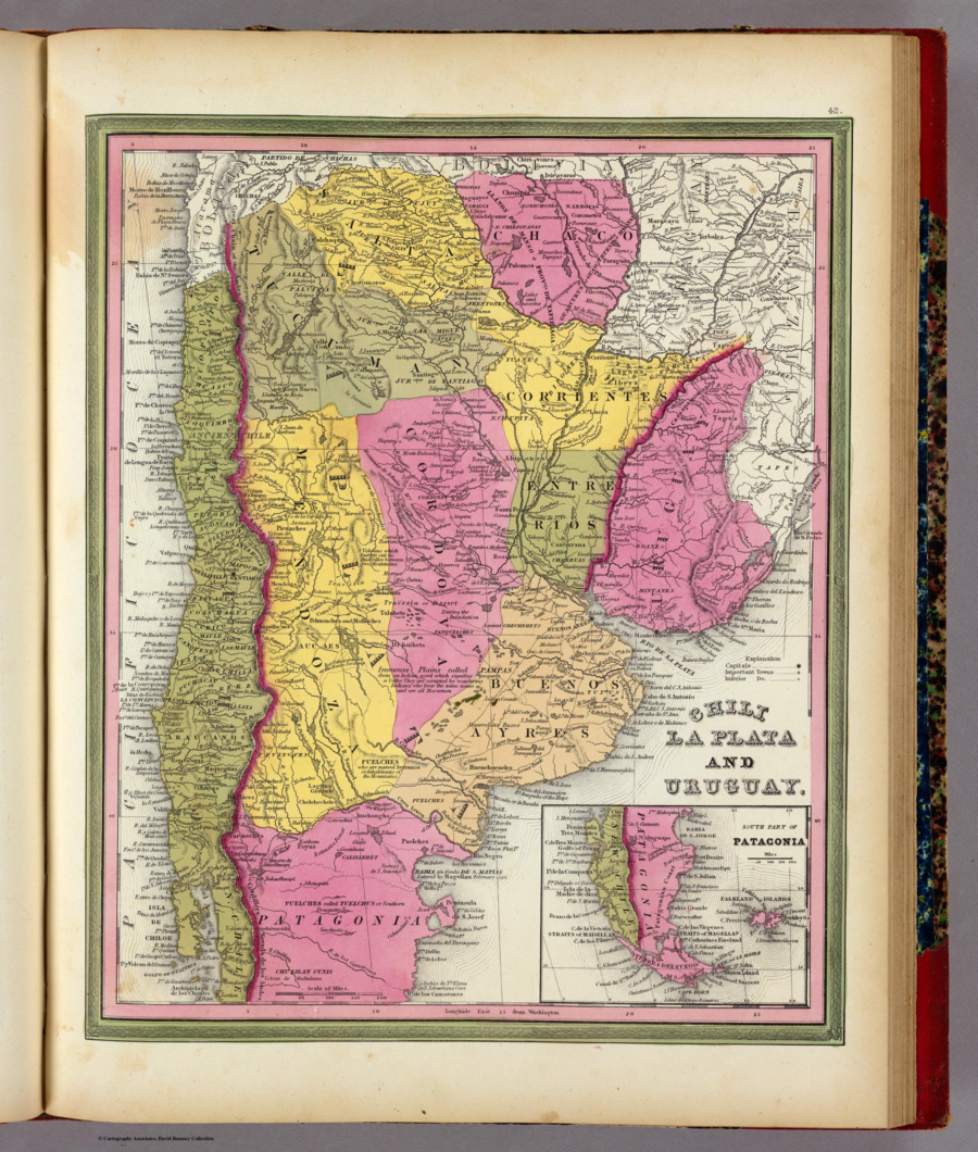
Mitchell, Samuel Augustus. Chili, La Plata And Uruguay. Map. Philadelphia: S.A. Mitchell, 1846. Accessed April 30, 2022. https://www.davidrumsey.com/luna/servlet/detail/RUMSEY~8~1~2007~150042:Chili,-La-Plata-And-URU-?sort=pub_list_no_initialsort%2Cpub_list_no_initialsort%2Cpub_date%2Cpub_date&qvq=w4s:/where%2FURU,sort:pub_list_no_initialsort%2Cpub_list_no_initialsort%2Cpub_date%2Cpub_date,lc:RUMSEY~8~1&mi=16&trs=95.