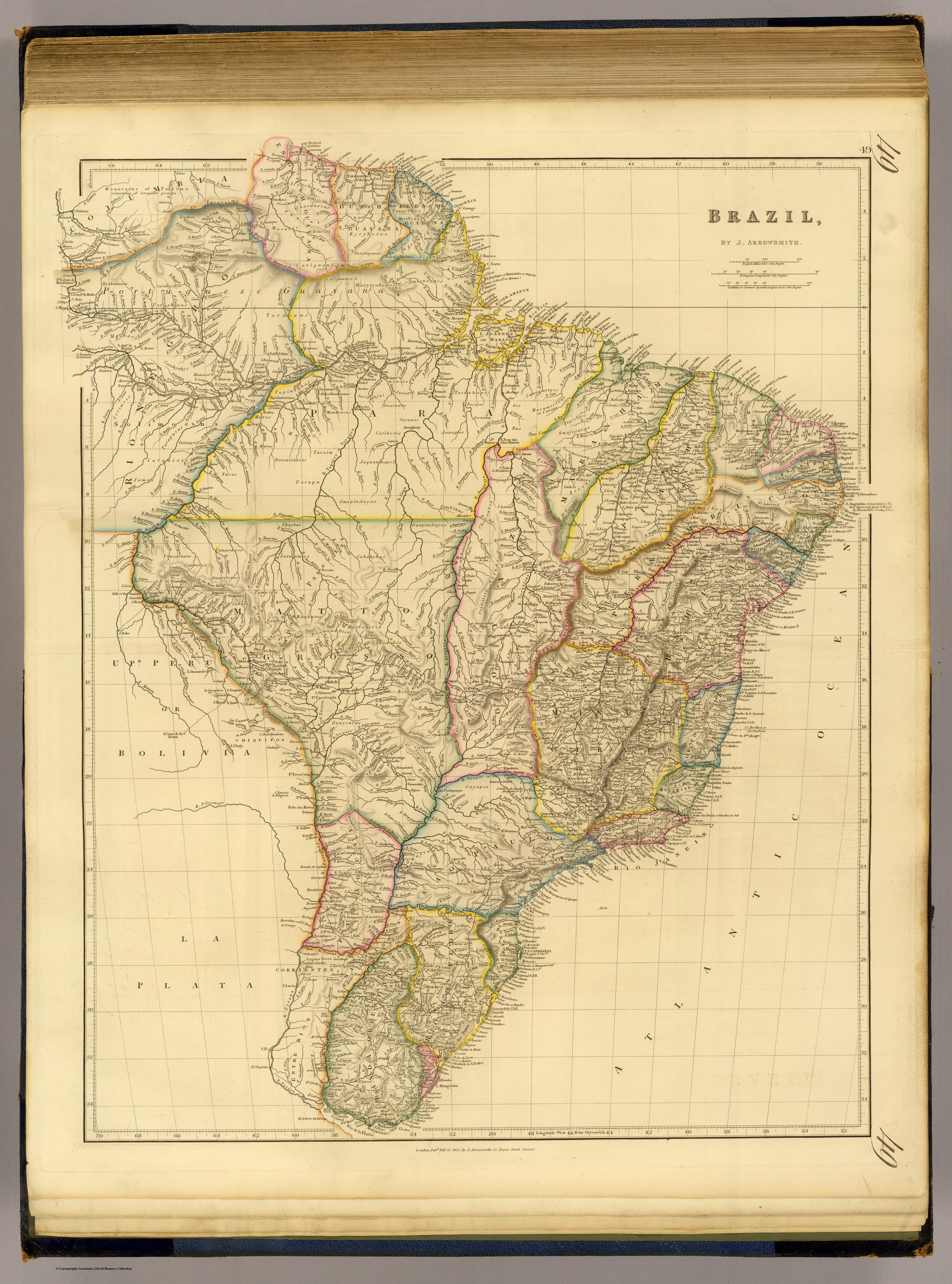
Peoples
- ARINCHOTAS
- GUACANAVAS
- GALIBIS
- TUNAYENES
- MERILLONS
- ARAMICHSUUNS
- PIRIUS
- KYRYKOTAS
- PARABAYANAS
- RUCUYENES
- ARURIAS
- MACUSIS
- MAJANAOS
- HYABAHANAS
- CARAHYABYS
- UARYHUAS
- CARIGUANS
- CARIGUANOS
- HARYTRAHES
- ARMABUTOS
- AMICUANOS
- TARACUMS
- ARUAQUIS
- MANAOS
- CARAHYAHYS
- ARARAS
- TUPINAMBAS
- JAVIPUJAZ
- CUZARIS
- CURIARES
- TACUNHAPEZ
- CANAQUETGES
- GAMELLAS
- TABBAXAROS
- CAPICRANS
- GUAJOJARAS
- PIACOBGES
- PURE CAMECRANS
- MACAMECRANS
- CARAUS
- BUS
- GES
- JACUNDAS
- ANNAPUS
- PACAJAS
- JURUNAS
- CARIBERIS
- GUARUARA
- MUNDRUCUS
- MAUHES
- MURAS
- ITATAPRIYAS
- PURUPURUS
- SORIMOES
- JUMAS
- CATAUIXIS
- TURAS
- PARENTINTINS
- UARUPA
- YAVAIM
- JAQUANHAPEZ
- APPYNAGES
- NOROGUAGES
- CUPINHAROS
- TEMEMBOS
- SACAMECRANS
- ACROAS
- CAHETES
- POTIGUERAS
- CHOCOS
- GUEGUES
- CHAVANTES
- ZIMBIUAS
- GUAPINDAYAS
- UHAYHAS
- URUCURUNIS
- CAUTARES
- GUARITERES
- CAMARARES
- SARUMMAS
- CABAHYBAS
- CARAYAS
- BACCAHYRIS
- MANBARES
- BACCAHAS
- LAMBYS
- TAMARES
- CABIXIS
- COROADOS
- BARBADOS
- PATACHOS
- MACHACALIS
- BOROROS
- GUATOS
- GUAYCURUS
- GUANANS
- CHAGOTEOS
- CAYAPOS
- BOTOCUDOS
- GUAYRA
- GUANAS
- TAPES
- VICARIA
- LAGOS
- GUARANIS
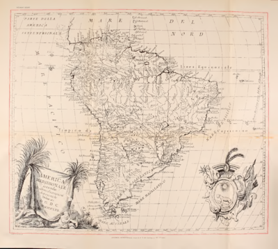
Citation
Arrowsmith, John. Brazil. Map. London: John Arrowsmith, 1832. Accessed April 29, 2022. https://www.davidrumsey.com/luna/servlet/detail/RUMSEY~8~1~33897~1170049:BRA-?sort=pub_list_no_initialsort%2Cpub_list_no_initialsort%2Cpub_date%2Cpub_date&qvq=w4s:/where%2FURU,sort:pub_list_no_initialsort%2Cpub_list_no_initialsort%2Cpub_date%2Cpub_date,lc:RUMSEY~8~1&mi=5&trs=88.

![[Guyane française entre l'île du Diable, le Cassipour, et les Sources de l'Oyapok / par Jean-Baptiste d'Anville]](https://dnet8ble6lm7w.cloudfront.net/maps/FGU/FGU0028.jpeg)