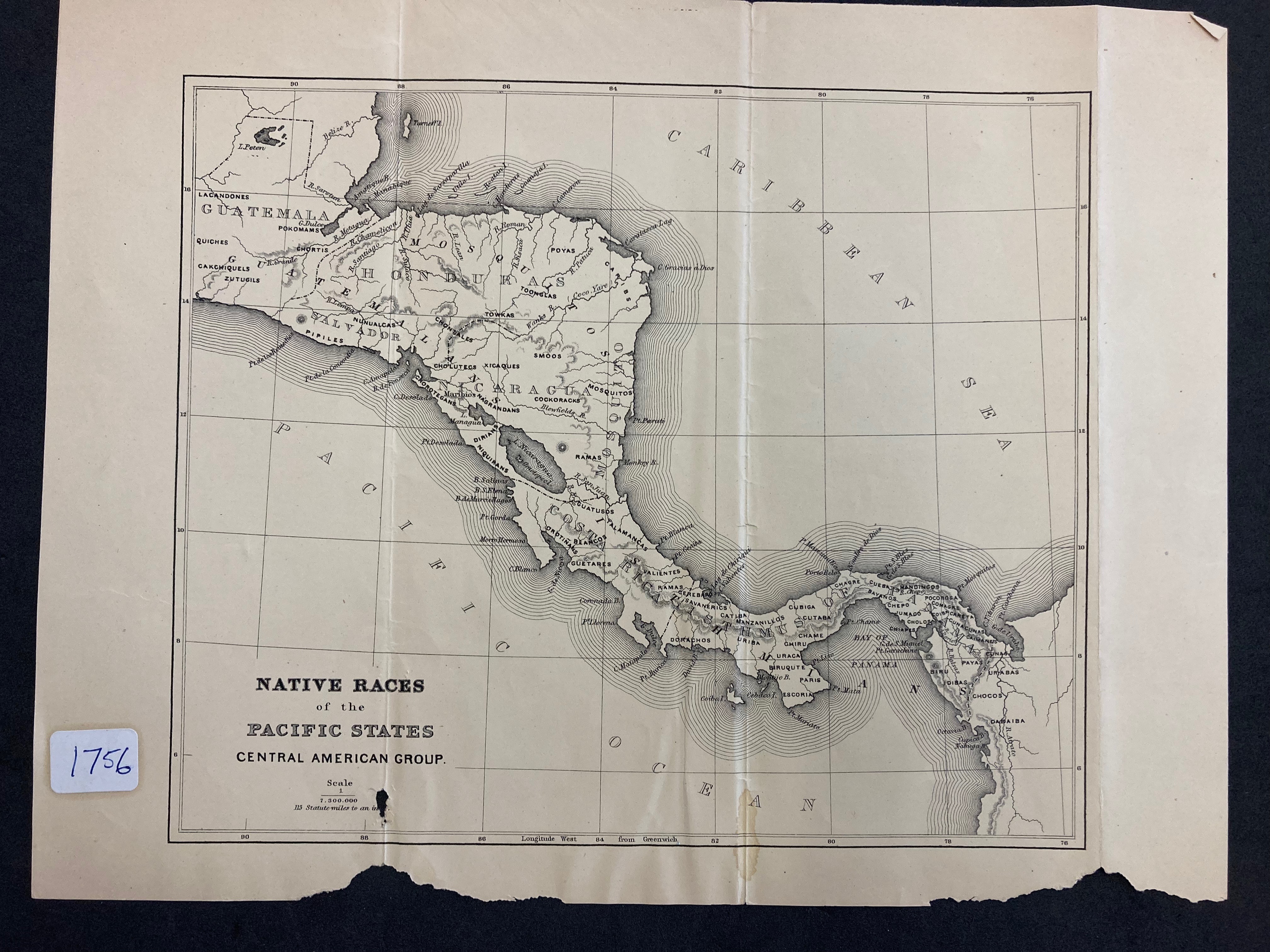
Dispossesions in the Americas

Dispossesions in the Americas

  • Home
  • Explore
  • About
  • Authors
  • Art
  • Bodies
  • Curricula
  • Cultural Heritage
  • Maps
  • Territories
Back to Explore
Map 1800

NATIVE RACES of the PACIFIC STATES

  • BLISS;PORTER

Published: 1874

  • Download Image

Peoples

  • LACANDON
  • KICHE
  • KAQCHIKEL
  • TZUTUJIL
  • POKOMAM
  • CHORTI
  • NAHUAPIPIL
  • NUNUALCAS
  • CHONTAL
  • TOWKAS
  • TOONGLAS
  • POYAS
  • CARIBS
  • CHOLUTEC
  • TOLUPAN
  • SMOOS
  • CHOROTEGAN
  • NAGRANDAN
  • COCKORACK
  • MOSKITO
  • DIRIANS
  • NIQUIRANS
  • RAMAS
  • GUATUSOS
  • OROTINANS
  • TALAMANCAS
  • GUETARES
  • VALIENTES
  • RAMAS
  • CEREBARO
  • SAVANERICS
  • DORACHOS
  • CATIBA
  • MANZANILLOS
  • URIBA
  • ESCORIA
  • PARIS
  • BIRUQUTE
  • CHIRU
  • CHAME
  • CUTABA
  • CUBIGA
  • CHAGRE
  • CUESA
  • BAYANOS
  • MANDINGOS
  • CHEPO
  • JUMAGO
  • CHOLOS
  • CHIAPES
  • POCOROSA
  • COMAGRE
  • COIBA
  • CARETA
  • CUNACUNAS
  • CAIMANEIS
  • PAYAS
  • CUNAS
  • URABAS
  • BIRU
  • IDIBAS
  • CHOCOS
  • DABAIBA

Citation

Bliss, Porter Cornelius. "Native Races of the Pacific States." Map. 1874. Call Number 1756. Central American Group, Latin American Library at Tulane University. https://open.library.ubc.ca/collections/bcbooks/items/1.0222509

  • Download Image

Reading in Spanish

Map 1800

NATIVE RACES of the PACIFIC STATES

  • BLISS;PORTER

Published: 1874

  • Download Image
  • Download Image

Related Content

LINGUISTIC MAP OF MEXICO AND CENTRAL AMERICA

LINGUISTIC MAP OF MEXICO AND CENTRAL AMERICA

Map 1909
Distribución  de  los  Grupos  Indígenas  de Bolivia

Distribución de los Grupos Indígenas de Bolivia

Map 2000 - 2010
LE BRESIL dont les côtes sont Divisées en Capitainerie

LE BRESIL dont les côtes sont Divisées en Capitainerie

Map 1719
Pueblos del Chanar y el Algarrobo. Los Atacamas del Siglo XVII.

Pueblos del Chanar y el Algarrobo. Los Atacamas del Siglo XVII.

Map 1600
Demonstración Geográfica de las Provincias que abraza cada Yntendencia de las establecidas en la parte del Perú desde Salta, pertenecientes a el Virreynato del Río de la Plata

Demonstración Geográfica de las Provincias que abraza cada Yntendencia de las establecidas en la parte del Perú desde Salta, pertenecientes a el Virreynato del Río de la Plata

Map 1783
AMERIQUE MERIDIONALE

AMERIQUE MERIDIONALE

Map 1750
Carte particulière de l'isthme de Panama golfe de Darien, côte de Carthagene, jusqu'à Ste Marthe / par le Sr d'Anville,…

Carte particulière de l'isthme de Panama golfe de Darien, côte de Carthagene, jusqu'à Ste Marthe / par le Sr d'Anville,…

Map 1730
Figure 10.1. Map of Ecuador showing the Western Pichincha research region and the site of Palmitopamba.

Figure 10.1. Map of Ecuador showing the Western Pichincha research region and the site of Palmitopamba.

Map -700 - 1534

Dispossessions in the Americas

A project by

University of Pennsylvania

Copyright 2024

With support from

Mellon Foundation

Site design & development

Element 84

Art Credits

Bliss, Porter Cornelius. “Native Races of the Pacific States.” Map. 1874. Call Number 1756. Central American Group, Latin American Library at Tulane University. https://open.library.ubc.ca/collections/bcbooks/items/1.0222509

Site Pages

  • Home
  • Explore
  • About
  • Authors
  • Art
  • Bodies
  • Curricula
  • Cultural Heritage
  • Maps
  • Territories