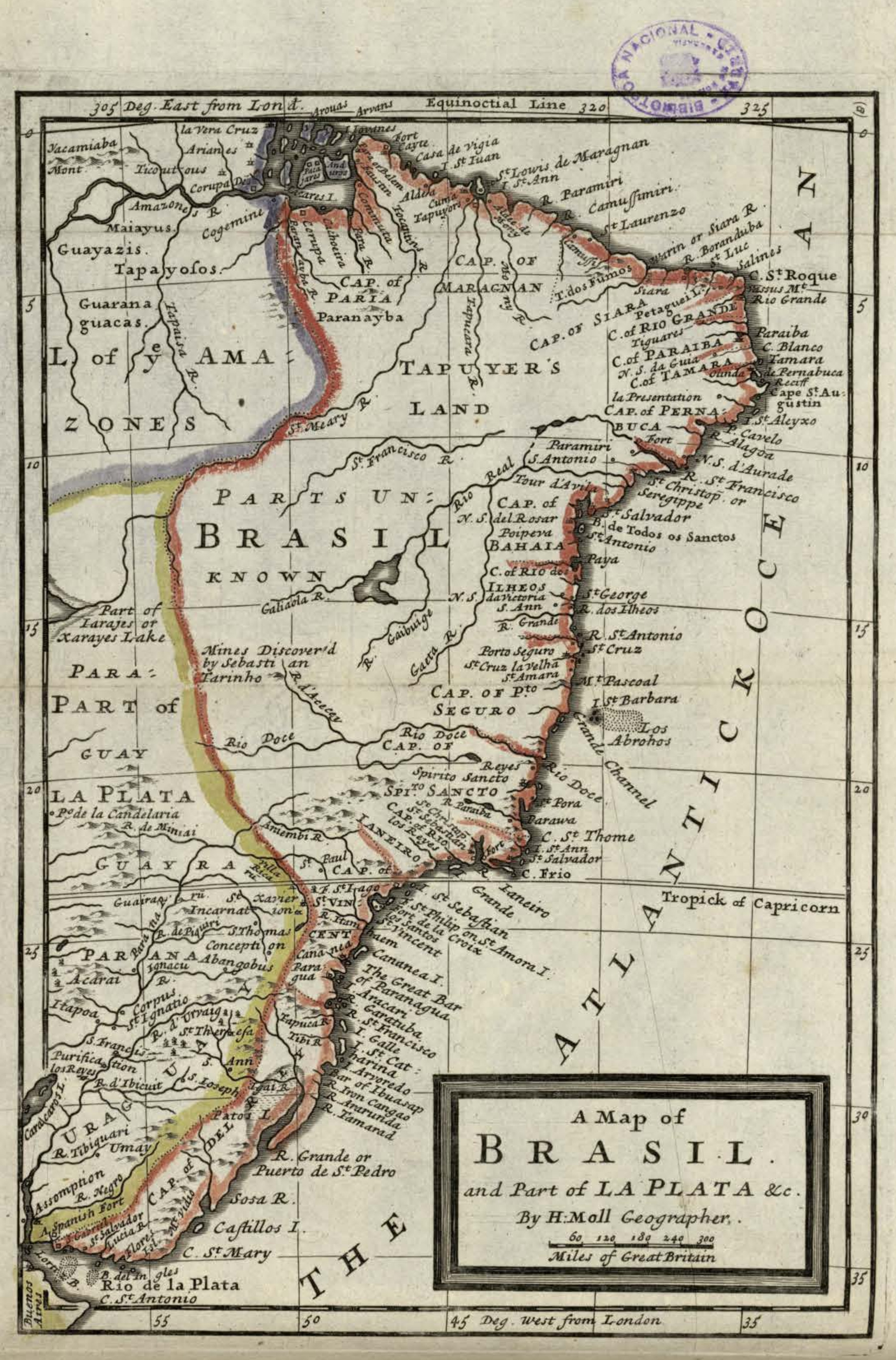
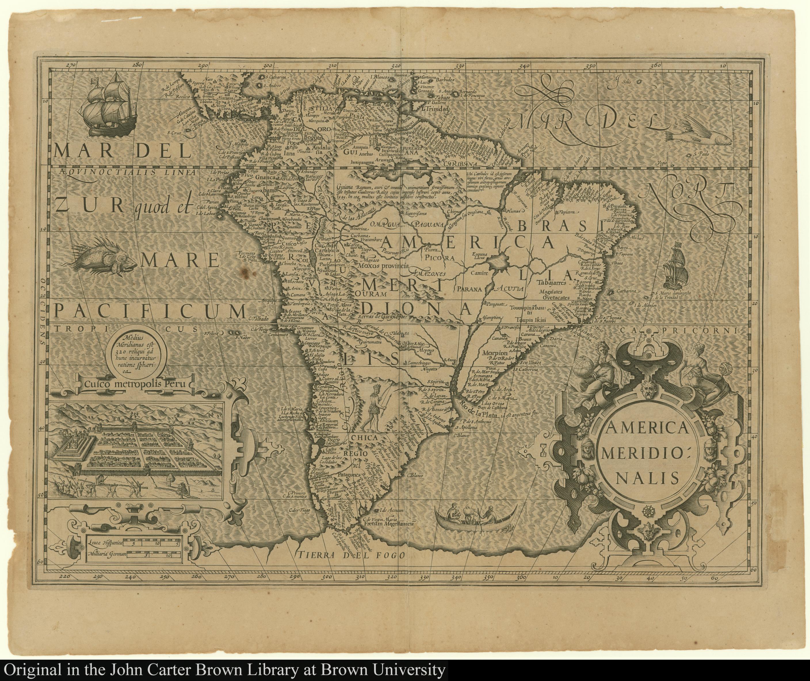
Dispossesions in the Americas

Dispossesions in the Americas

  • Home
  • Explore
  • About
  • Authors
  • Art
  • Bodies
  • Curricula
  • Cultural Heritage
  • Maps
  • Territories
Back to Explore
Map 1619

America Meridionalis

    Published: 1619

    • Download Image

    Peoples

    • INDIOS

    Citation

    NA. "America Meridionalis." Map. The JCB Library. 1619. Accessed February 26, 2022. https://jcb.lunaimaging.com/luna/servlet/detail/JCBMAPS~1~1~1453~100790005:America-Meridionalis?sort=normalized_date%2Cfile_name%2Csource_author%2Csource_title#

    • Download Image

    Reading in Spanish

    Map 1619

    America Meridionalis

      Published: 1619

      • Download Image
      • Download Image

      Reading in Portuguese

      Map 1619

      America Meridionalis

        Published: 1619

        • Download Image

        Peoples

        • INDIOS

        Citation

        NA. "America Meridionalis." Map. The JCB Library. 1619. Accessed February 26, 2022. https://jcb.lunaimaging.com/luna/servlet/detail/JCBMAPS~1~1~1453~100790005:America-Meridionalis?sort=normalized_date%2Cfile_name%2Csource_author%2Csource_title#

        • Download Image

        Related Content

        AM, Brazil - Pot

        AM, Brazil - Pot

        Artwork
        Tawahka homeland, 1916: Showing Río Wampú (Wanpo), Río Patuca (Butuk), Cerro Quigungun (Wangkibila Volc [anol]), and the first cartographical rendering of Krautara (Moravian Archives, Bethlehem, Pennsylvania, Heath 1916)

        Tawahka homeland, 1916: Showing Río Wampú (Wanpo), Río Patuca (Butuk), Cerro Quigungun (Wangkibila Volc [anol]), and the first cartographical rendering of Krautara (Moravian Archives, Bethlehem, Pennsylvania, Heath 1916)

        Map 1916
        Departamentos y municipios de mayor concentración del pueblo Cofán

        Departamentos y municipios de mayor concentración del pueblo Cofán

        Map 2005
        Plano del pueblo de Mariguitar y de las tierras repartidas a los indios

        Plano del pueblo de Mariguitar y de las tierras repartidas a los indios

        Map 1703
        LAS TRES OLAS DE COLONIZACION DE LA SNSM

        LAS TRES OLAS DE COLONIZACION DE LA SNSM

        Map 1900 - 1999
        Carte de l'entrée de la Rivière d'Oyapoc jusqu'aux premiers sauts.

        Carte de l'entrée de la Rivière d'Oyapoc jusqu'aux premiers sauts.

        Map 1700 - 1799
        A Map of BRASIL and Part of LA PLATA

        A Map of BRASIL and Part of LA PLATA

        Map 1717
        PUEBLO MUNICHE

        PUEBLO MUNICHE

        Map 2021

        Dispossessions in the Americas

        A project by

        University of Pennsylvania

        Copyright 2024

        With support from

        Mellon Foundation

        Site design & development

        Element 84

        Art Credits

        NA. “America Meridionalis.” Map. The JCB Library. 1619. Accessed February 26, 2022. https://jcb.lunaimaging.com/luna/servlet/detail/JCBMAPS~1~1~1453~100790005:America-Meridionalis?sort=normalized_date%2Cfile_name%2Csource_author%2Csource_title#

        Site Pages

        • Home
        • Explore
        • About
        • Authors
        • Art
        • Bodies
        • Curricula
        • Cultural Heritage
        • Maps
        • Territories