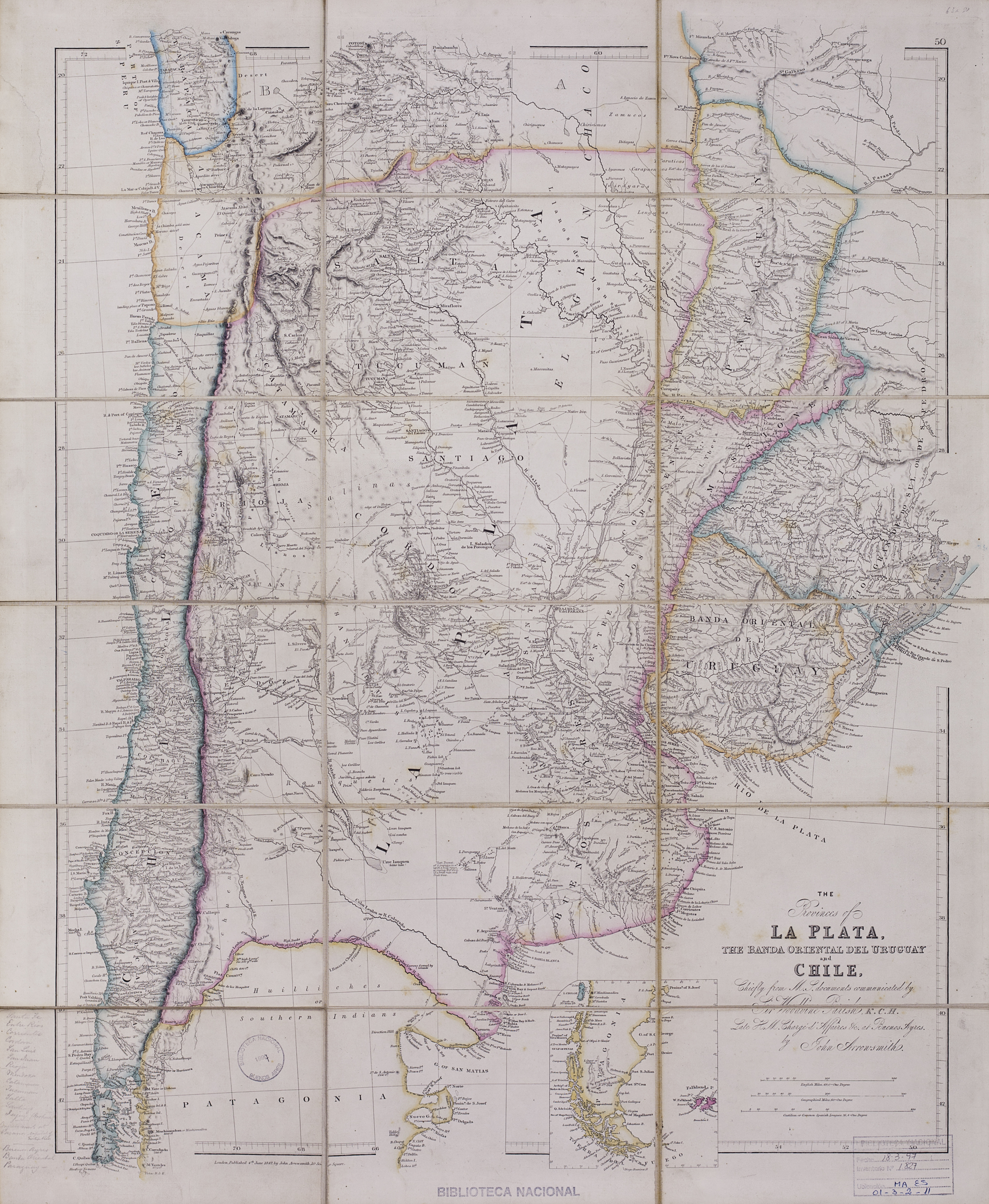
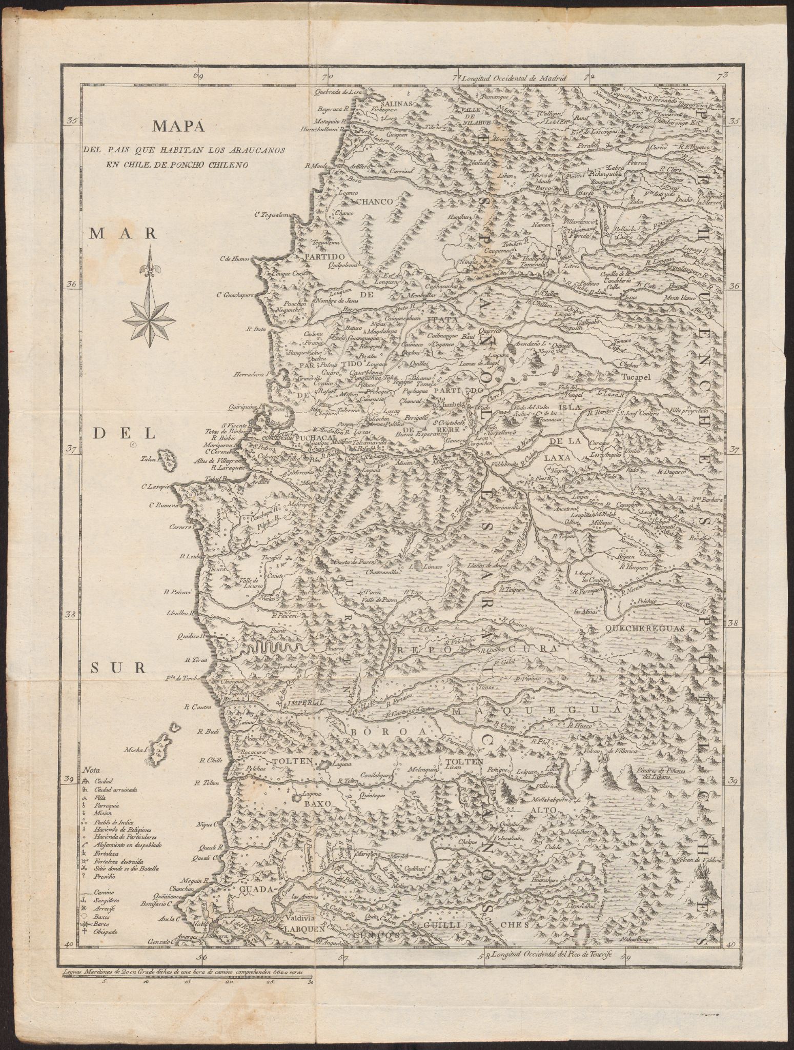
Dispossesions in the Americas

Dispossesions in the Americas

  • Home
  • Explore
  • About
  • Authors
  • Art
  • Bodies
  • Curricula
  • Cultural Heritage
  • Maps
  • Territories
Back to Explore
Map 1700 - 1800

Mapa Del Pais Que Habitan Los Araucanos En Chile, De Poncho Chileno

  • MOLINA, GIOVANNI;SANCHA, ANTONIO

Published: 1795

  • Download Image

Peoples

  • ARAUCANOS

Citation

Molina, Giovanni Ignazio, and Antonio Sancha. Mapa Del Pais Que Habitan Los Araucanos En Chile, De Poncho Chileno. Map. Madrid, Spain: Imprenta de Sancha, 1795. Accessed June 30, 2023. https://digital.iai.spk-berlin.de/viewer/image/630107718/1/LOG_0000/.

  • Download Image

Reading in Spanish

Map 1700 - 1800

Mapa Del Pais Que Habitan Los Araucanos En Chile, De Poncho Chileno

  • MOLINA, GIOVANNI;SANCHA, ANTONIO

Published: 1795

  • Download Image
  • Download Image

Reading in Portuguese

Map 1700 - 1800

Mapa Del Pais Que Habitan Los Araucanos En Chile, De Poncho Chileno

  • MOLINA, GIOVANNI;SANCHA, ANTONIO

Published: 1795

  • Download Image

Peoples

  • ARAUCANOS

Citation

Molina, Giovanni Ignazio, and Antonio Sancha. Mapa Del Pais Que Habitan Los Araucanos En Chile, De Poncho Chileno. Map. Madrid, Spain: Imprenta de Sancha, 1795. Accessed June 30, 2023. https://digital.iai.spk-berlin.de/viewer/image/630107718/1/LOG_0000/.

  • Download Image

Related Content

The provinces of La Plata, the Banda Oriental del Uruguay and Chile.

The provinces of La Plata, the Banda Oriental del Uruguay and Chile.

Map 1842
CROQUIS DE LOS RÍOS NAPO Y PUTUMAYO Según datos traídos por el Coronel D. PEDRO PORTILLO

CROQUIS DE LOS RÍOS NAPO Y PUTUMAYO Según datos traídos por el Coronel D. PEDRO PORTILLO

Map 1905
"Mapa del partido de Moniquirá hasta el alto del Mercado."

"Mapa del partido de Moniquirá hasta el alto del Mercado."

Map 1796
ILHAS E LAGOS NOTAVEIS DO BRAZIL

ILHAS E LAGOS NOTAVEIS DO BRAZIL

Map 1800 - 1899
Happy Hour

Happy Hour

Artwork
Carte de la Guyane et des territoires limitrophes (Traité d'arbitrage, signé à Londres le 6 novembre 1901)

Carte de la Guyane et des territoires limitrophes (Traité d'arbitrage, signé à Londres le 6 novembre 1901)

Map 1900 - 1999
The indigenous language groups  of Baja California at contact

The indigenous language groups of Baja California at contact

Map 1530
Amazonas aka merdolino

Amazonas aka merdolino

Artwork

Dispossessions in the Americas

A project by

University of Pennsylvania

Copyright 2024

With support from

Mellon Foundation

Site design & development

Element 84

Art Credits

Molina, Giovanni Ignazio, and Antonio Sancha. Mapa Del Pais Que Habitan Los Araucanos En Chile, De Poncho Chileno. Map. Madrid, Spain: Imprenta de Sancha, 1795. Accessed June 30, 2023. https://digital.iai.spk-berlin.de/viewer/image/630107718/1/LOG_0000/.

Site Pages

  • Home
  • Explore
  • About
  • Authors
  • Art
  • Bodies
  • Curricula
  • Cultural Heritage
  • Maps
  • Territories