
Peoples
- DIAGUITAS
- MAPUCHE
Citation
Comision Verdad Historica y Nuevo Trato. "Territorio Mapuche hacia 1540." Map. Comision Verdad Historica y Nuevo Trato. 2021. http://www.memoriachilena.gob.cl/602/articles-122901_recurso_3.pdf
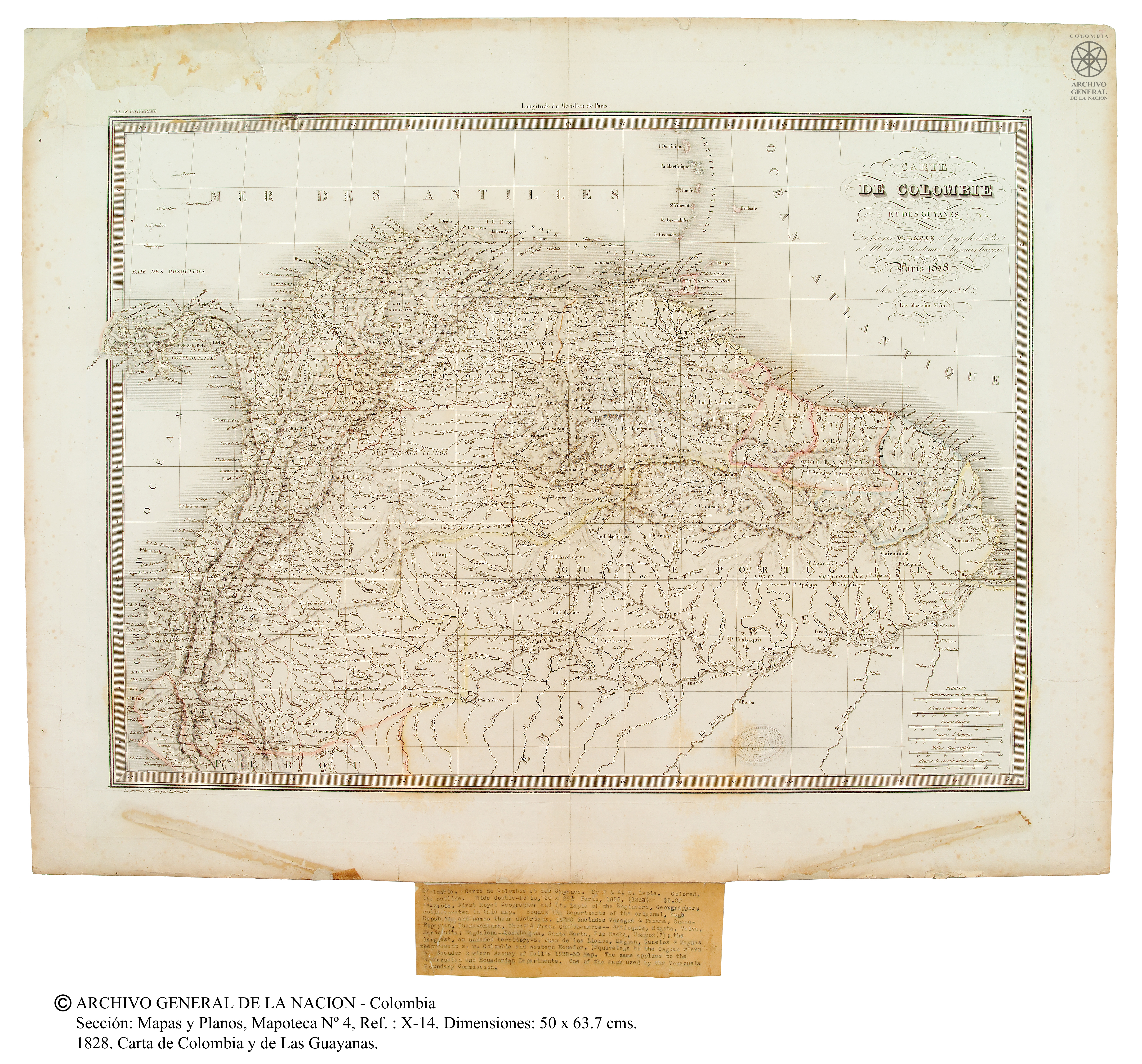
Carte de Colombie et des Guyanes
Map 1800 - 1899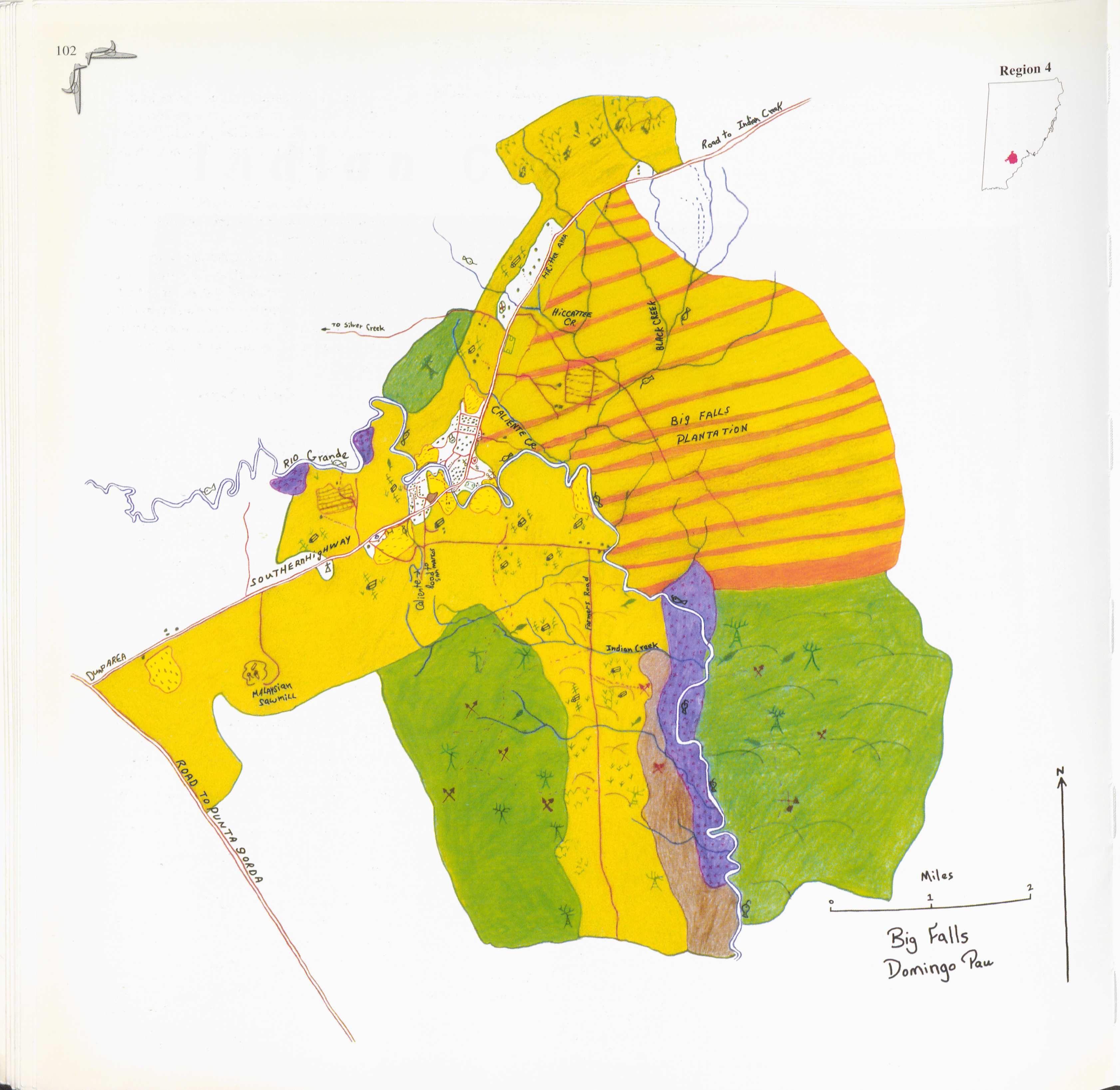
Big Falls
Map 1997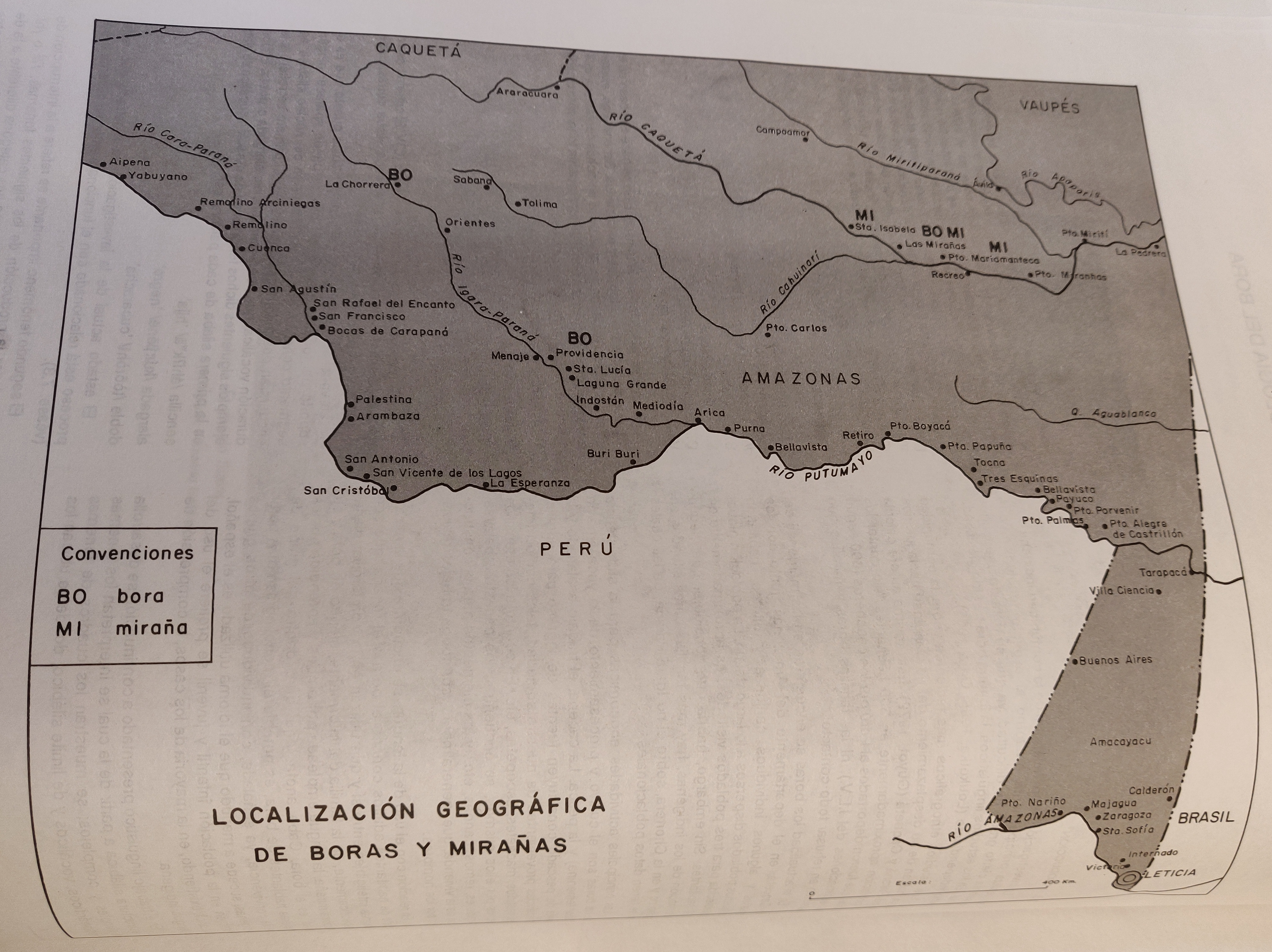
LOCALIZACIÓN GEOGRÁFICA DE BORAS Y MIRAÑAS
Map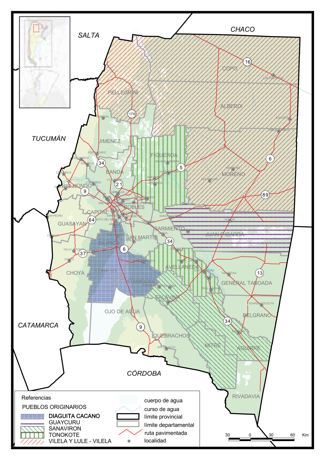
Pueblos Originarios, Santiago del Estero
Map 2016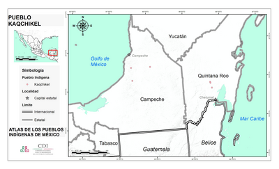
PUEBLO KAQCHIKEL
Map 2020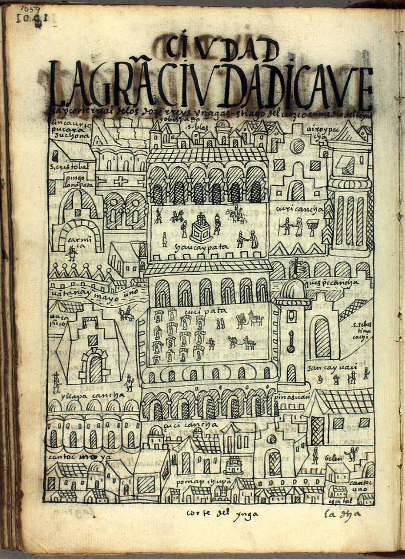
LA GRAN CIVDAD I CAVEsa y corte rreal de los doze rreys Yngas, Santiago del Cuzco en medio del rreyno y obispado
Map 1615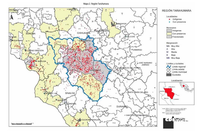
REGIÓN TARAHUMARA
Map 2000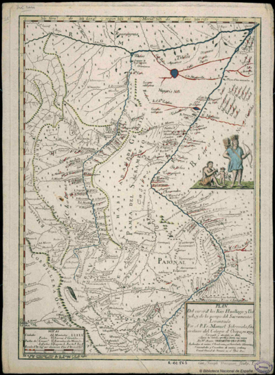
Plan Del curso de los Rios Huallaga y Ucayali, y de la pampa del Sacramento
Map 1790