
Peoples
- RAPA NUI
Citation
Hotus, Alberto. "Distribucion Territorial Tribal Ancestral del Pueblo Rapa Nui." Map. In Te mau hatu o te Rapa Nui. 2021. http://www.memoriachilena.gob.cl/602/articles-122901_recurso_3.pdf
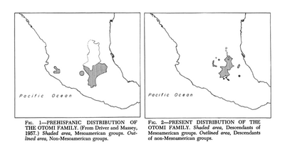
Prehispanic Distribution of the Otomí Family
Map 1969
CHARTE VON SÜD AMERICA;NACH ASTRONOMISCHEN BEOBACHTUNGEN;DEN BESTEN VORHANDENEN CHARTEN;UND DEN BERICHTEN DER MISSIONARIEN
Map 1803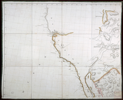
A New Map of Mexico and Adjacent Provinces Compiled From Original Documents
Map 1810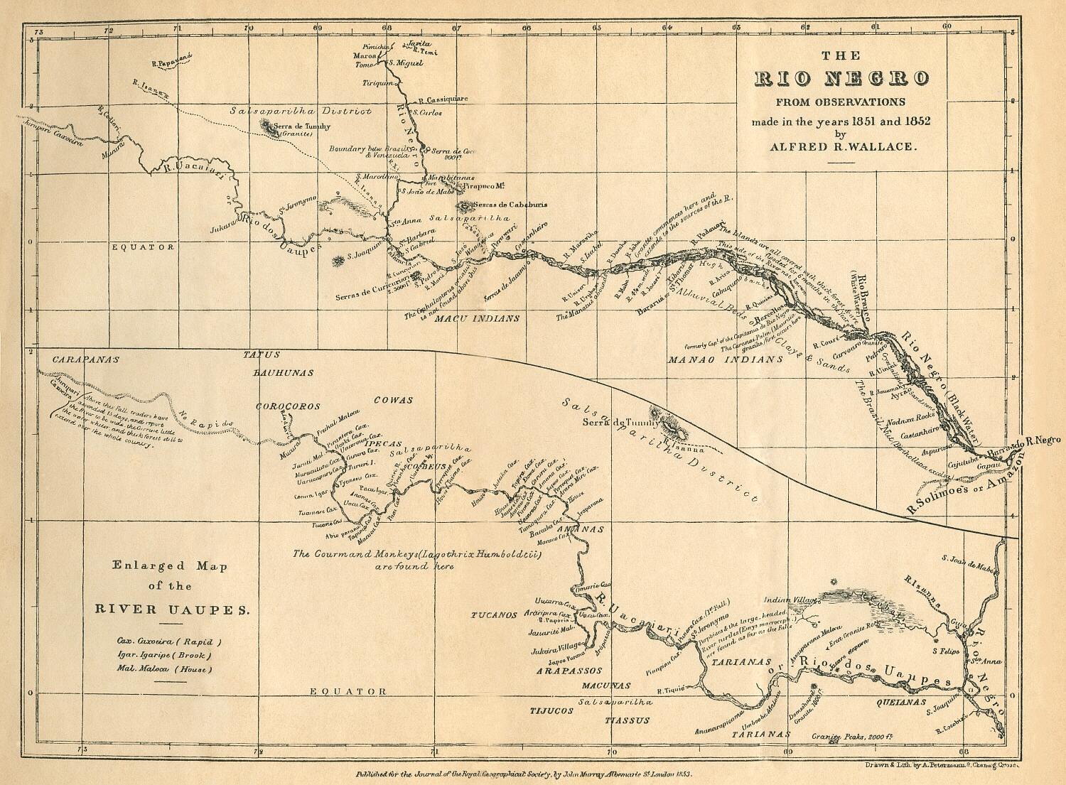
THE RÍO NEGRO
Map 1851 - 1852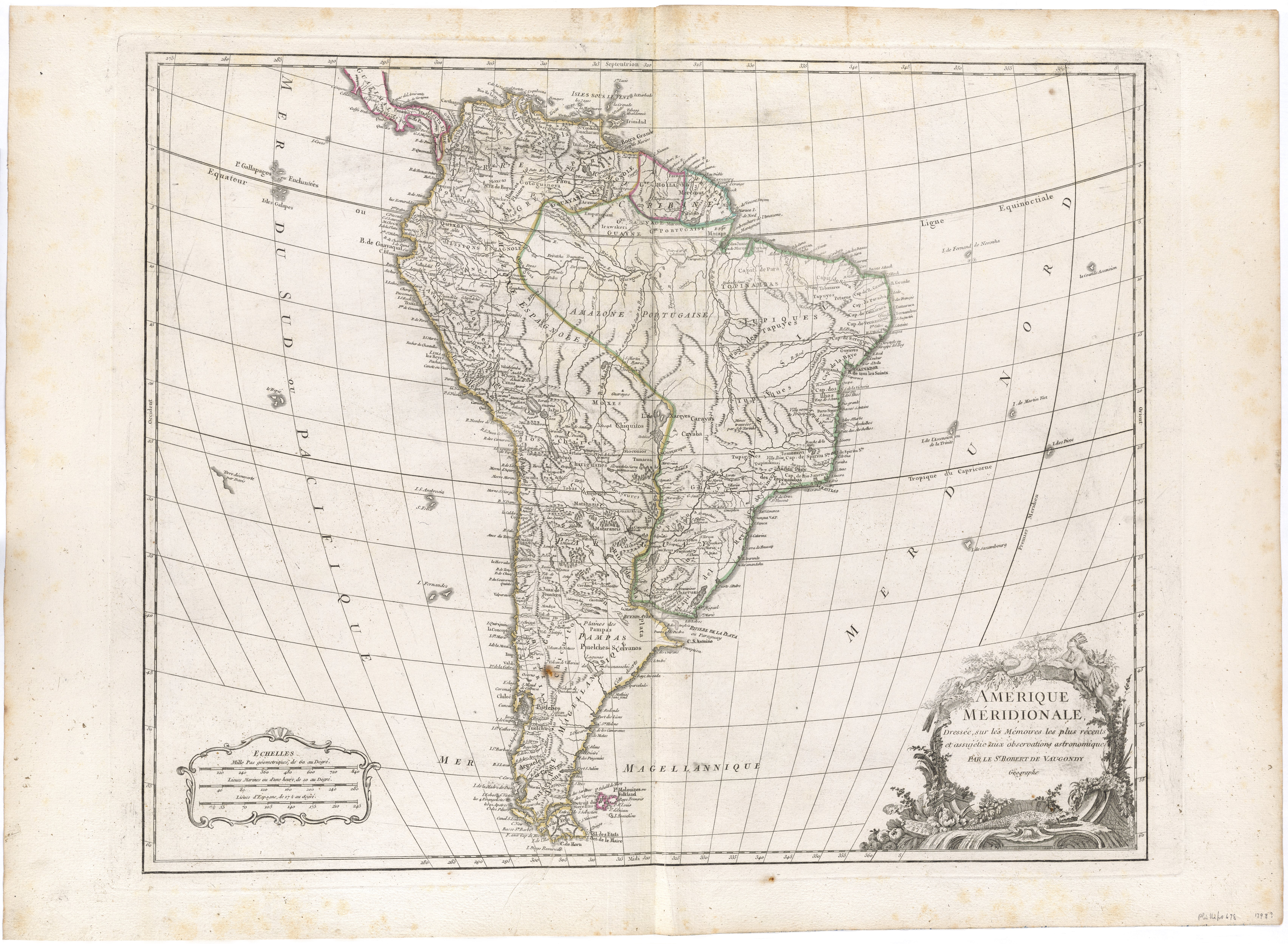
Amerique Méridionale, Dressée, sur les Mémoires les plus récents et assujétie aux observations astronomique
Map 1786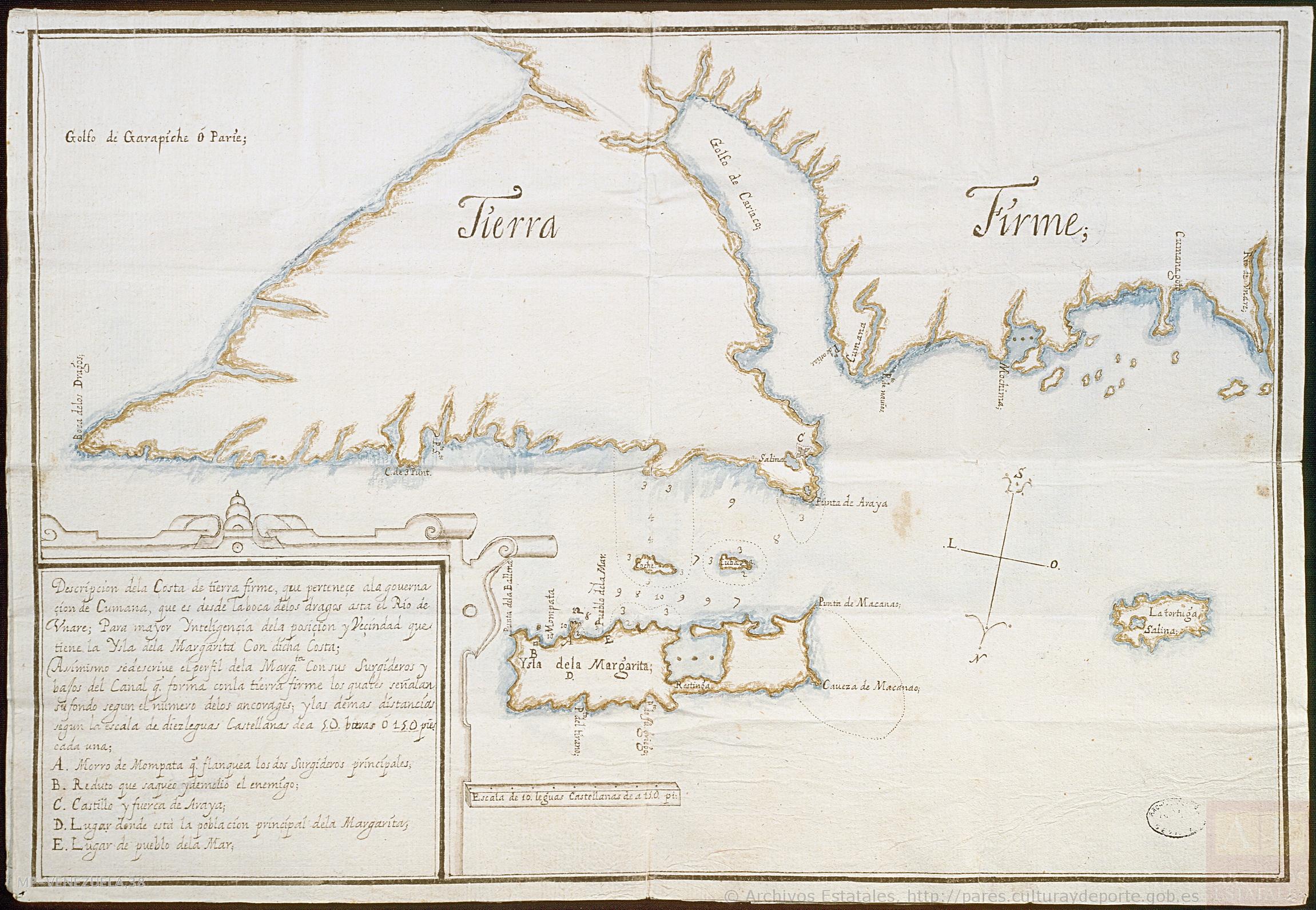
Descripción de la costa de tierra firme que perteneçe a la gouernaçión de Cumaná;que es desde la boca de los Dragos asta el río de Unare para mayor inteligencia de la posición y vecindad que tiene la ysla de la Margarita con dicha costa
Map 1661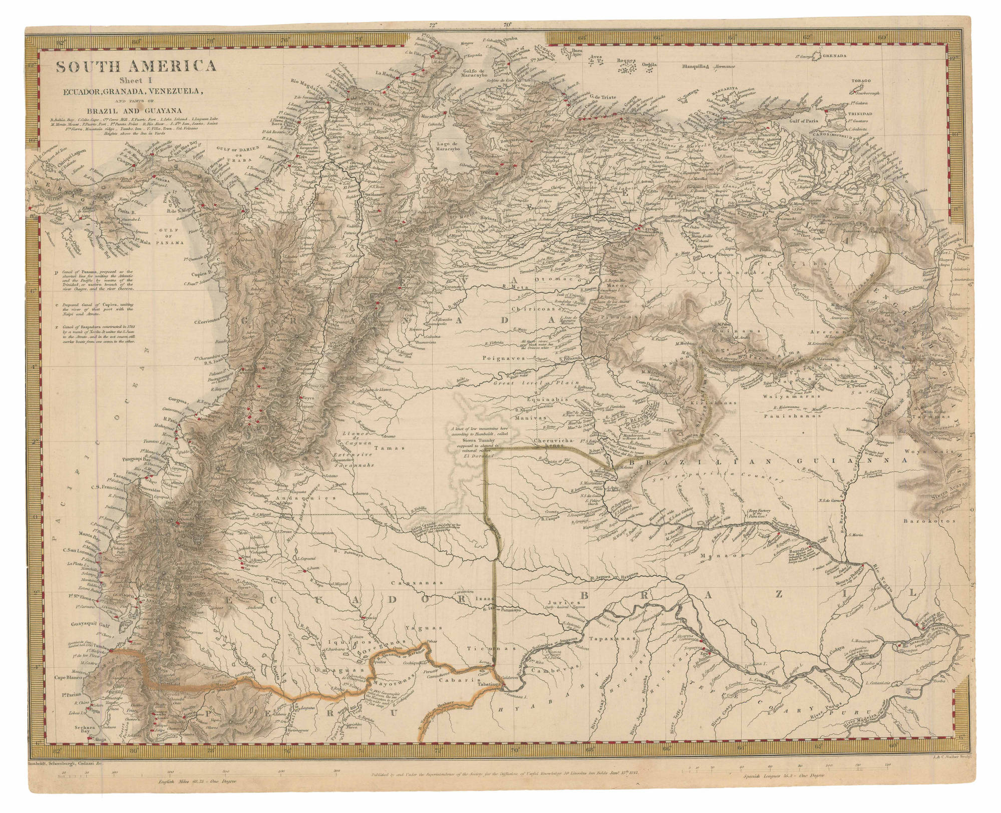
SOUTH AMERICA Sheet I: ECUADOR;GRANADA;VENEZUELA;AND PARTS OF BRAZIL AND GUYANA
Map 1842![Tierra de nadie [No Man's Land]](https://dnet8ble6lm7w.cloudfront.net/art_sm/AMEX011.png)
Tierra de nadie [No Man's Land]
Artwork