Dispossesions in the Americas

Dispossesions in the Americas

  • Home
  • Explore
  • About
  • Authors
  • Art
  • Bodies
  • Curricula
  • Cultural Heritage
  • Maps
  • Territories
Back to Explore
Map 1500

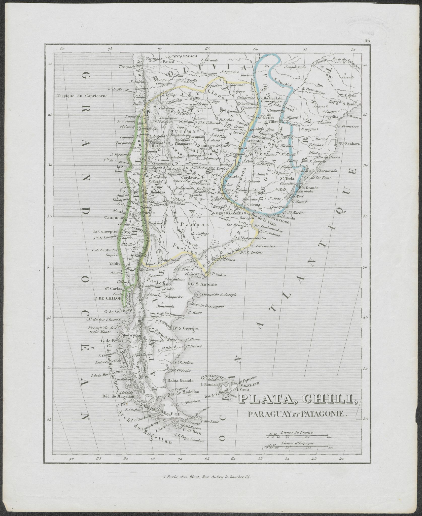
Fases de la rebelión indígena de 1781 en el corregimiento de Atacama y esquema de la inestabilidad política que la precede 1749-1781

  • Hidalgo, Jorge.

Published: 1982

  • Download Image

Peoples

  • ATACAMA

Citation

Hidalgo, Jorge. "Fases de la rebelión indígena de 1781 en el corregimiento de Atacama y esquema de la inestabilidad política que la precede 1749-1781." Chungará 9 (1982): 192-246 http://www.memoriachilena.gob.cl/602/articles-122901_recurso_3.pdf

  • Download Image

Reading in Spanish

Map 1500

Fases de la rebelión indígena de 1781 en el corregimiento de Atacama y esquema de la inestabilidad política que la precede 1749-1781

  • Hidalgo, Jorge.

Published: 1982

  • Download Image
  • Download Image

Related Content

SOUTH AMERICA SHEET III. SOUTH BRAZIL WITH PARAGUAY AND URUGUAY

SOUTH AMERICA SHEET III. SOUTH BRAZIL WITH PARAGUAY AND URUGUAY

Map 1837
CARTE DE LA CAPITAINERIE GENERALE DE CARACAS Comprenant les Provinces de Venezuela;Maracaibo;Varinas;Cumana;la Guiane;et Isle de la Margeurite;Pour servir au Voyage a la partie oriental de la Terre Ferme dans l'Amerique Meridionale

CARTE DE LA CAPITAINERIE GENERALE DE CARACAS Comprenant les Provinces de Venezuela;Maracaibo;Varinas;Cumana;la Guiane;et Isle de la Margeurite;Pour servir au Voyage a la partie oriental de la Terre Ferme dans l'Amerique Meridionale

Map 1801 - 1805
Angaité

Angaité

Map 2001
MAPA DE SAN MATEO IXTLAHUACAN

MAPA DE SAN MATEO IXTLAHUACAN

Map 1500 - 1599
South America corrected from the observation communicated to the
     Royal Society"s of London & Paris by John Senex, at the Globe against St.
     Dunstans Church Fleetstreet.

South America corrected from the observation communicated to the Royal Society"s of London & Paris by John Senex, at the Globe against St. Dunstans Church Fleetstreet.

Map 1755
The Barima River as depicted on Dixon's compass traverse and the AGS million-scale map published in 1940 (bottom)

The Barima River as depicted on Dixon's compass traverse and the AGS million-scale map published in 1940 (bottom)

Map 1895
Indigenous provinces in El Salvador around 1500. (Adapted from Fowler 1989140-141, figure 5, with additional information from Lehman 1920:719, with modifications by the author.)

Indigenous provinces in El Salvador around 1500. (Adapted from Fowler 1989140-141, figure 5, with additional information from Lehman 1920:719, with modifications by the author.)

Map 1500
REGIÓN SELVA LACANDONA

REGIÓN SELVA LACANDONA

Map 2000

Dispossessions in the Americas

A project by

University of Pennsylvania

Copyright 2024

With support from

Mellon Foundation

Site design & development

Element 84

Art Credits

Hidalgo, Jorge. “Fases de la rebelión indígena de 1781 en el corregimiento de Atacama y esquema de la inestabilidad política que la precede 1749-1781.” Chungará 9 (1982): 192-246 http://www.memoriachilena.gob.cl/602/articles-122901_recurso_3.pdf
Site Pages

  • Home
  • Explore
  • About
  • Authors
  • Art
  • Bodies
  • Curricula
  • Cultural Heritage
  • Maps
  • Territories