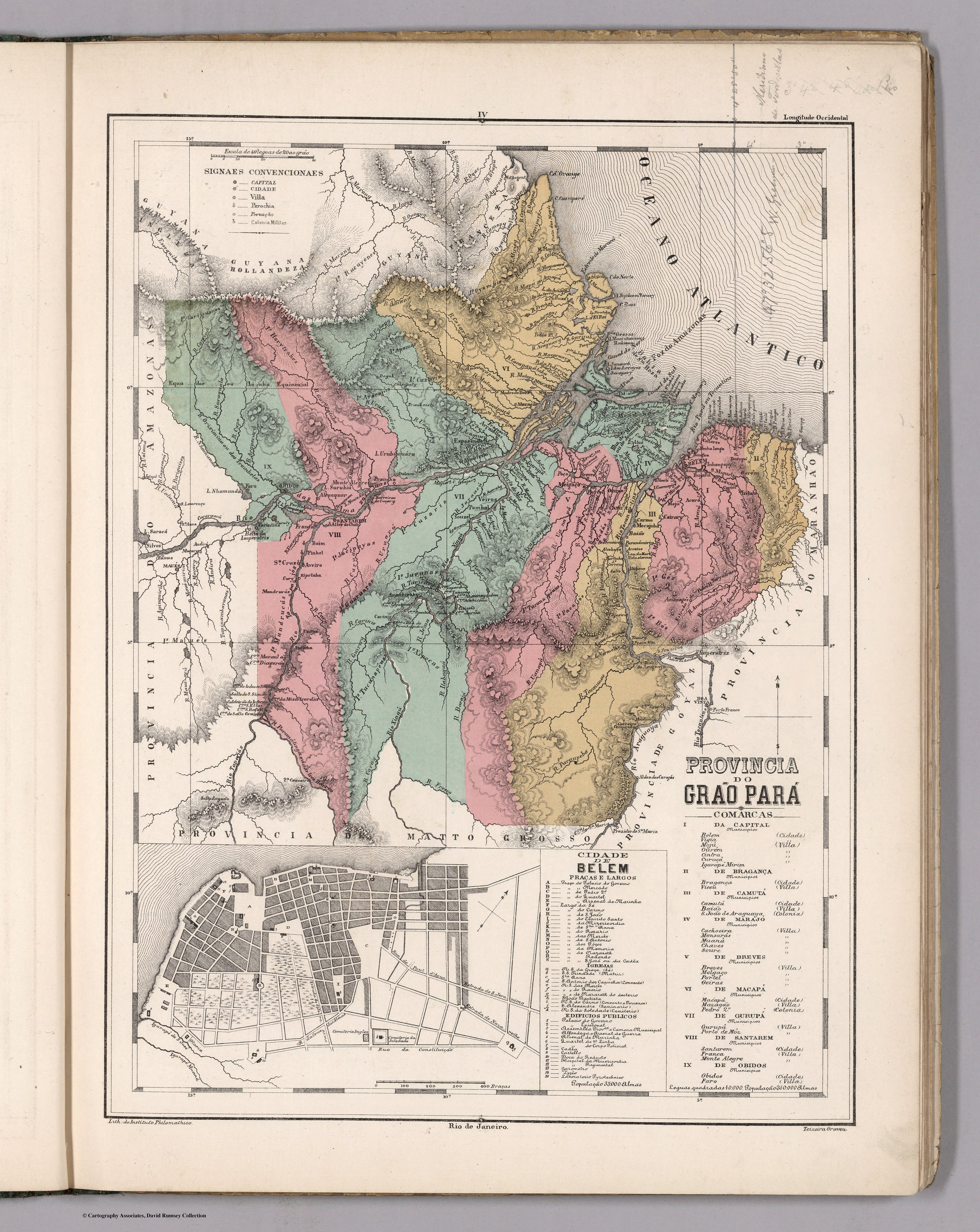
Dispossesions in the Americas

Dispossesions in the Americas

  • Home
  • Explore
  • About
  • Authors
  • Art
  • Bodies
  • Curricula
  • Cultural Heritage
  • Maps
  • Territories
Back to Explore
Map 1800 - 1850

PROVINCIA DO GRAO PARÁ

  • MENDES, CANDIDO

Published: 1868

  • Download Image

Peoples

  • OYAMPIS
  • RUCUYENES
  • APAMAS
  • CUZARIS
  • HARYTRAHES
  • CARIGUANOS
  • MAUES
  • JACIPUYAS
  • MUNDRUCUS
  • GUARUARAS
  • ARACAJUS
  • JURUNAS
  • JACUNDAS
  • TUCUNA-PEUAS
  • PACAJAS
  • BOS
  • GEZ
  • XIPOCAS
  • TUCUNAPEUAS

Citation

Mendes, Candido. Provincia do Grao Para. Map. Rio de Janeiro: Lithographia do Instituto Philomathico, 1868. Accessed August 14, 2023. https://www.davidrumsey.com/luna/servlet/detail/RUMSEY~8~1~305749~90076438.

  • Download Image

Reading in Spanish

Map 1800 - 1850

PROVINCIA DO GRAO PARÁ

  • MENDES, CANDIDO

Published: 1868

  • Download Image
  • Download Image

Reading in Portuguese

Map 1800 - 1850

PROVINCIA DO GRAO PARÁ

  • MENDES, CANDIDO

Published: 1868

  • Download Image

Peoples

  • OYAMPIS
  • RUCUYENES
  • APAMAS
  • CUZARIS
  • HARYTRAHES
  • CARIGUANOS
  • MAUES
  • JACIPUYAS
  • MUNDRUCUS
  • GUARUARAS
  • ARACAJUS
  • JURUNAS
  • JACUNDAS
  • TUCUNA-PEUAS
  • PACAJAS
  • BOS
  • GEZ
  • XIPOCAS
  • TUCUNAPEUAS

Citation

Mendes, Candido. Provincia do Grao Para. Map. Rio de Janeiro: Lithographia do Instituto Philomathico, 1868. Accessed August 14, 2023. https://www.davidrumsey.com/luna/servlet/detail/RUMSEY~8~1~305749~90076438.

  • Download Image

Related Content

CARTE DU COURS DE L'AMAZONE DEPUIS L'OCÉAN JUSQU'À MANAOS ET DE LA GUYANE BRÉSILIENNE

CARTE DU COURS DE L'AMAZONE DEPUIS L'OCÉAN JUSQU'À MANAOS ET DE LA GUYANE BRÉSILIENNE

Map 1892 - 1906
No Title

No Title

Map 1619
The Eight Pueblos, 1947

The Eight Pueblos, 1947

Map 1947
Juan Santos Atahualpa

Juan Santos Atahualpa

Artwork
No Title

No Title

Map 1777
Mappa da actual distribuição dos indios no Brazil meridional

Mappa da actual distribuição dos indios no Brazil meridional

Map 1857 - 1907
INTENDENCIA DE OAXACA

INTENDENCIA DE OAXACA

Map 1800
Mixe Towns

Mixe Towns

Map 1969

Dispossessions in the Americas

A project by

University of Pennsylvania

Copyright 2024

With support from

Mellon Foundation

Site design & development

Element 84

Art Credits

Mendes, Candido. Provincia do Grao Para. Map. Rio de Janeiro: Lithographia do Instituto Philomathico, 1868. Accessed August 14, 2023. https://www.davidrumsey.com/luna/servlet/detail/RUMSEY~8~1~305749~90076438.

Site Pages

  • Home
  • Explore
  • About
  • Authors
  • Art
  • Bodies
  • Curricula
  • Cultural Heritage
  • Maps
  • Territories